From Washington to you
Ozette Loop
Cape Alava · Clallam County · added to the park 1940
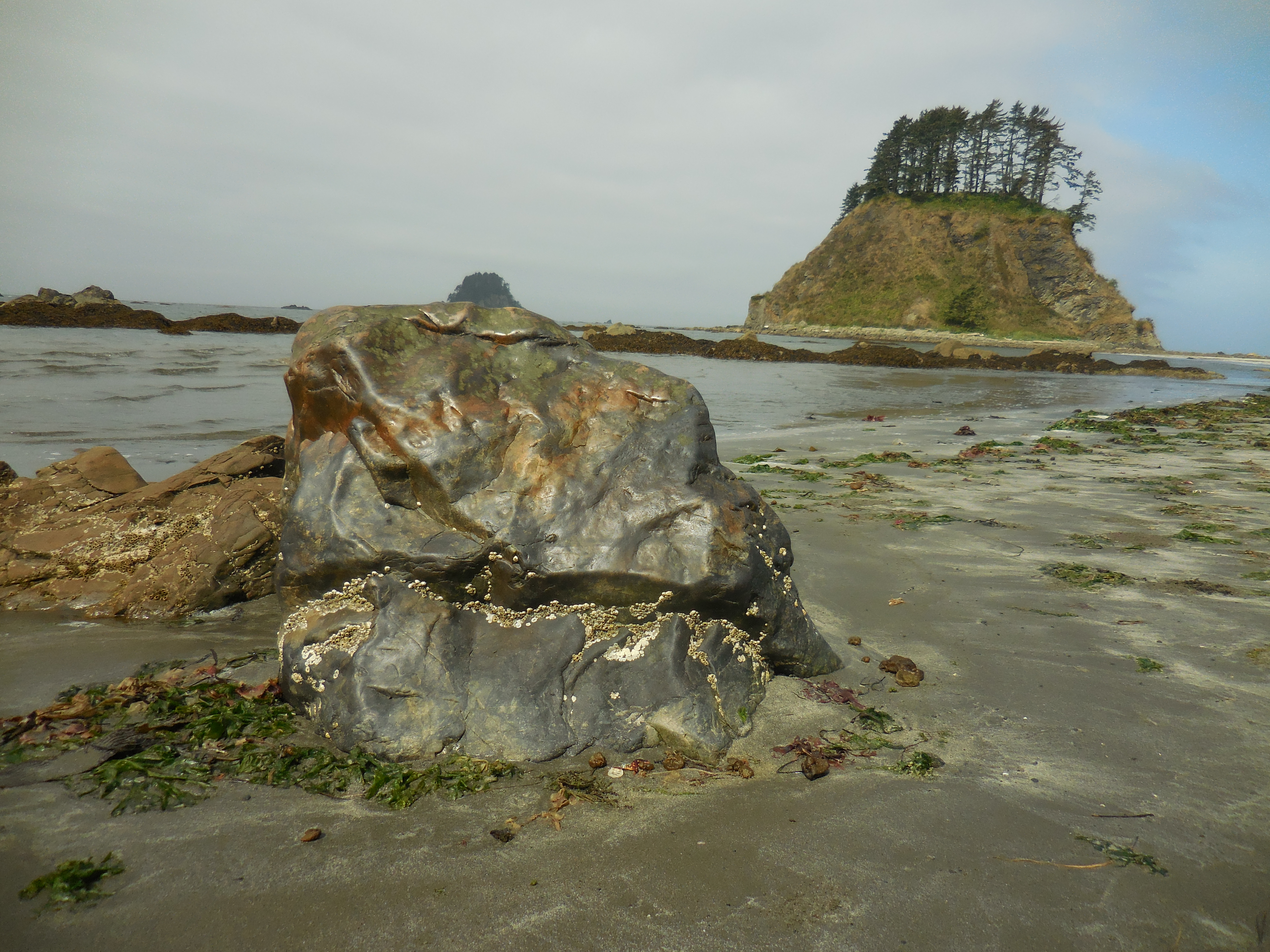
Three boardwalk and beach legs make a 9-mile triangle from Lake Ozette to Cape Alava and Sand Point.
Trails at Ozette begin behind the ranger station. NPS lists Cape Alava at 3.1 miles of trail, boardwalk, and stairs through prairie and coastal forest to a rocky beach. Sand Point is 2.8 miles of mostly boardwalk to a wide sandy beach. A 3.1-mile hike on sand and rock connects them into a 9-mile loop.
As many as 130 homestead families lived at Lake Ozette in the early 1890s. Most left after the Olympic Forest Reserve was created in 1897. A strip of coast and the Ozette area were added to Olympic National Park in 1940. The campground has 15 sites.
A storm in 1970 exposed clay banks that held a Makah village buried by mudslides. Archeologists excavated 300-year-old longhouses. Three of five longhouses were fully unearthed and more than 50,000 artifacts recovered. Bone, shell, and stone artifacts told of a sea-mammal hunting culture dating back at least 2,000 years. Many artifacts are at the Makah Museum in Neah Bay. The sources below are the Olympic National Park Ozette brochure.
- Geography & Geology
- Indigenous History & Place
Sources (1)
government · Tier S
National Park ServiceLake Ozette Area Brochure
Last reviewed: September 21, 2026
Keep wandering
nearby
KalalochOne of the most visited stretches of Olympic National Park sits right on Highway 101, with seven beach trails and a year-round campground on the bluff.
nearby
Olympic Coast National Marine SanctuaryNOAA designated 3,188 square miles of ocean off the Olympic Peninsula on July 22, 1994, from the beaches out across the continental shelf.
same park
Olympic National Park, 1938Franklin Roosevelt signed the park into law on June 29, 1938, after a 1937 visit, on ground first reserved in 1897 and later set aside for Roosevelt elk.
nearby
Ruby BeachCedar Creek meets the Pacific 7.5 miles north of Kalaloch. About 225,000 people a year walk down to the stacks and tide pools.