Stories
The whole collection, readable without the map. Filter by category or region, or search for the place you have been wondering about.
10 Things I Hate About You
Stadium High School · Pierce County · released 1999 · Puget Sound
Padua High was Stadium High. Heath Ledger’s Shakespeare rewrite pretended the brick castle in Tacoma was a Seattle school.
- Pop Culture
1949 Olympia Earthquake
1949 Olympia earthquake epicenter · Thurston County · April 13, 1949 · Puget Sound
A magnitude 7.1 shock under south Puget Sound on April 13, 1949, killed eight people and wrecked nearly every tall building in Olympia.
- Geography & Geology
- History
- Science / Strange Washington
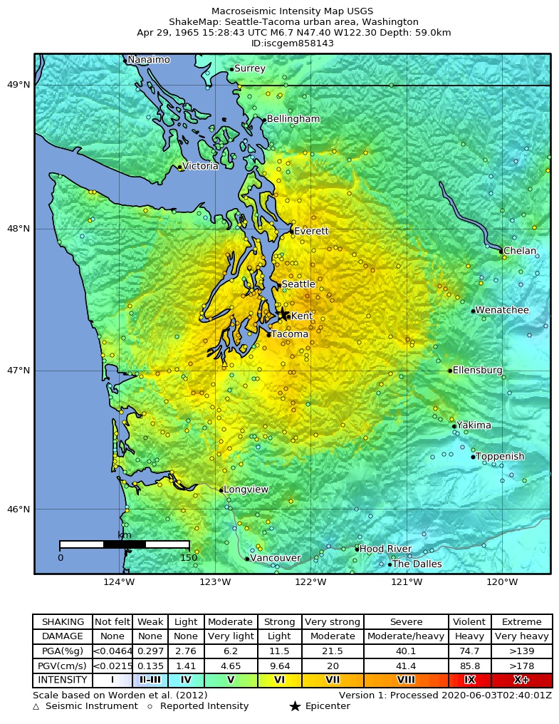
1965 Puget Sound Earthquake
1965 Puget Sound earthquake epicenter · King County · April 29, 1965 · Puget Sound
A magnitude 6.5 shock between Seattle and Tacoma on April 29, 1965, killed seven people.
- Geography & Geology
- History
- Science / Strange Washington
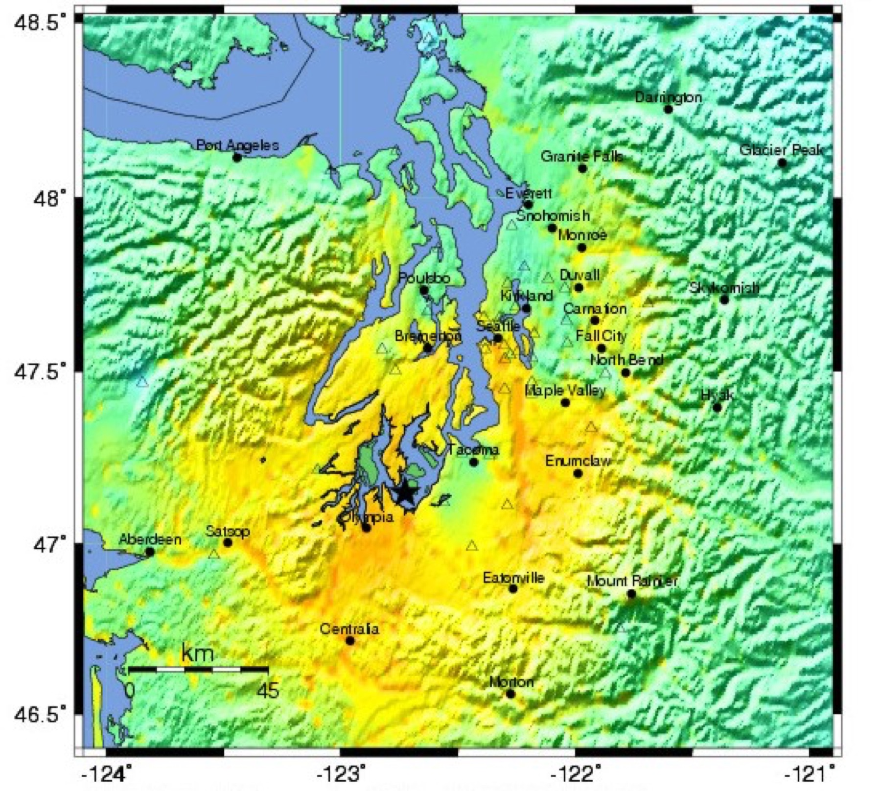
2001 Nisqually Earthquake
Nisqually earthquake epicenter · Thurston County · February 28, 2001 · Puget Sound
A deep magnitude 6.8 shock under Puget Sound injured about 400 people and forced a disaster declaration covering 24 counties.
- Geography & Geology
- History
- Science / Strange Washington
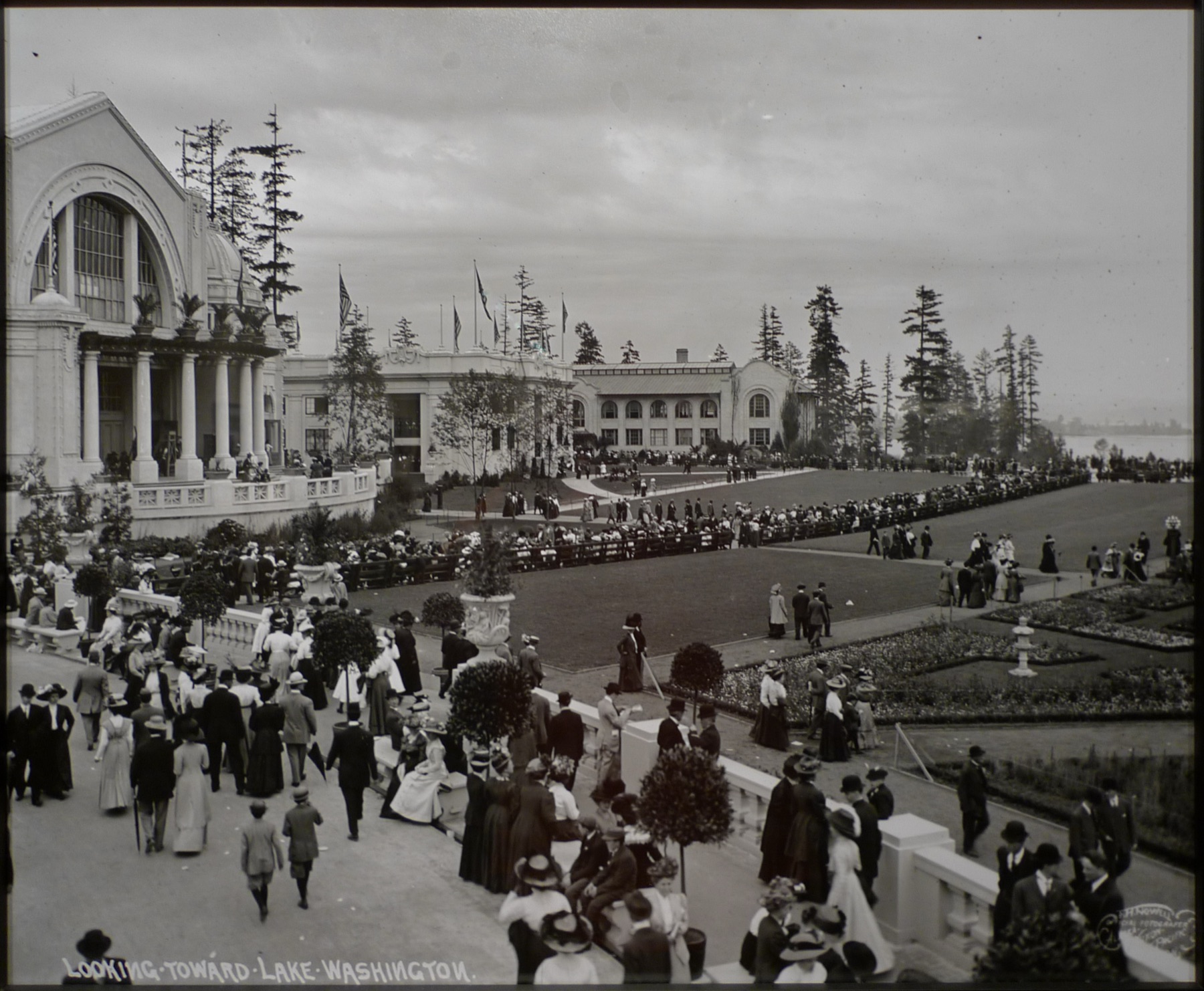
Alaska-Yukon-Pacific Exposition
University of Washington · King County · 1909 · Puget Sound
Seattle's 1909 world's fair on the University of Washington campus drew millions of visitors and later gave Century 21 its golden anniversary to commemorate.
- History
- Music & Culture
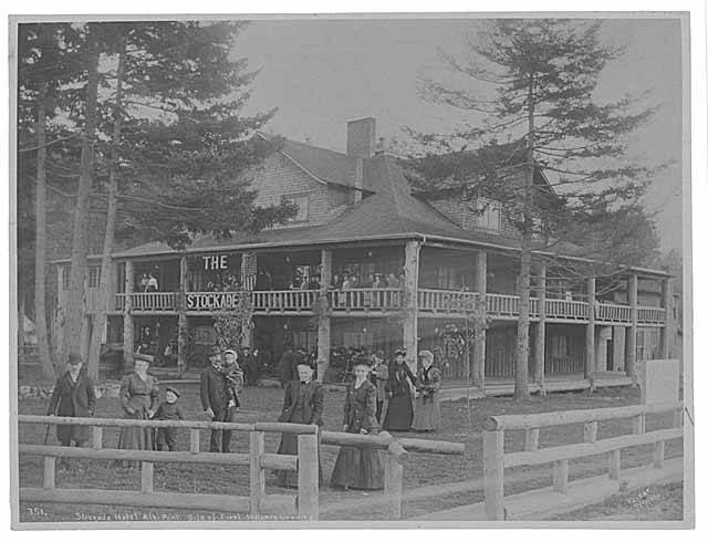
Alki Beach
Alki Point · King County · November 13, 1851 · Puget Sound
The Denny party landed here on November 13, 1851. Seattle Parks says Chief Seattle’s people met them and helped raise the first cabin.
- History
- Indigenous History & Place
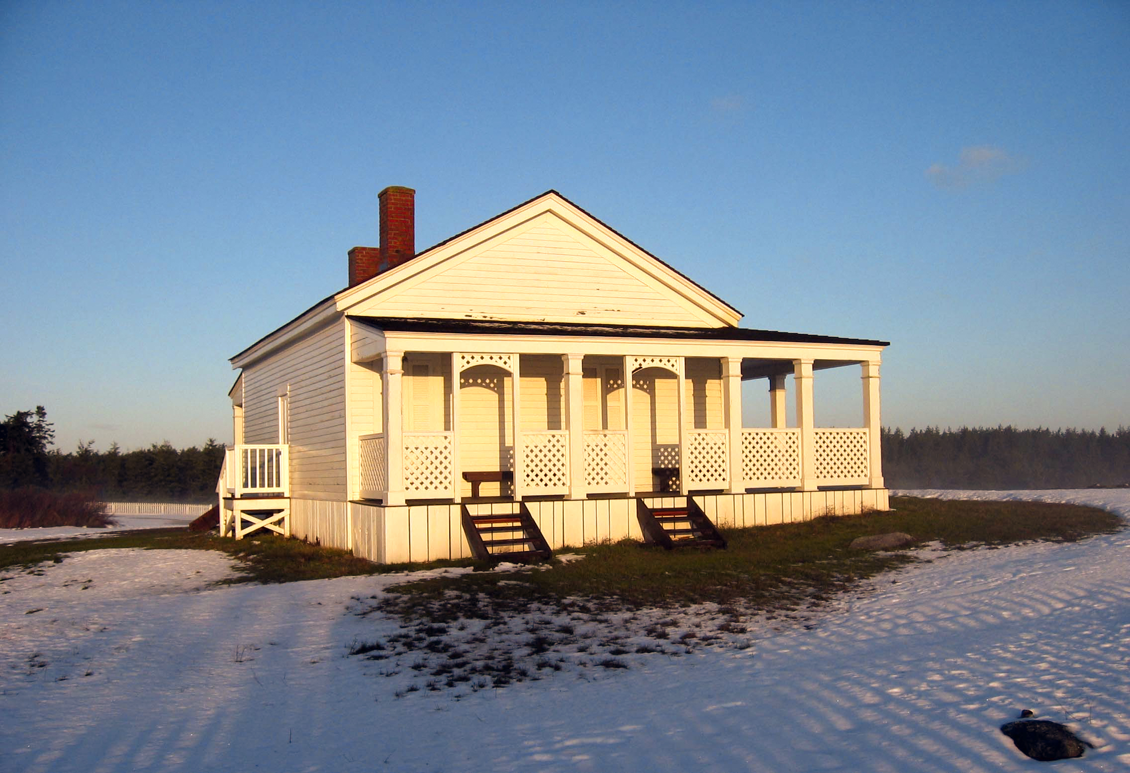
American Camp
American Camp · San Juan County · 1859 · Salish Sea
Lieutenant Colonel Silas Casey sited the U.S. camp in 1859 outside British naval range — for a Pig War that was never fought.
- History
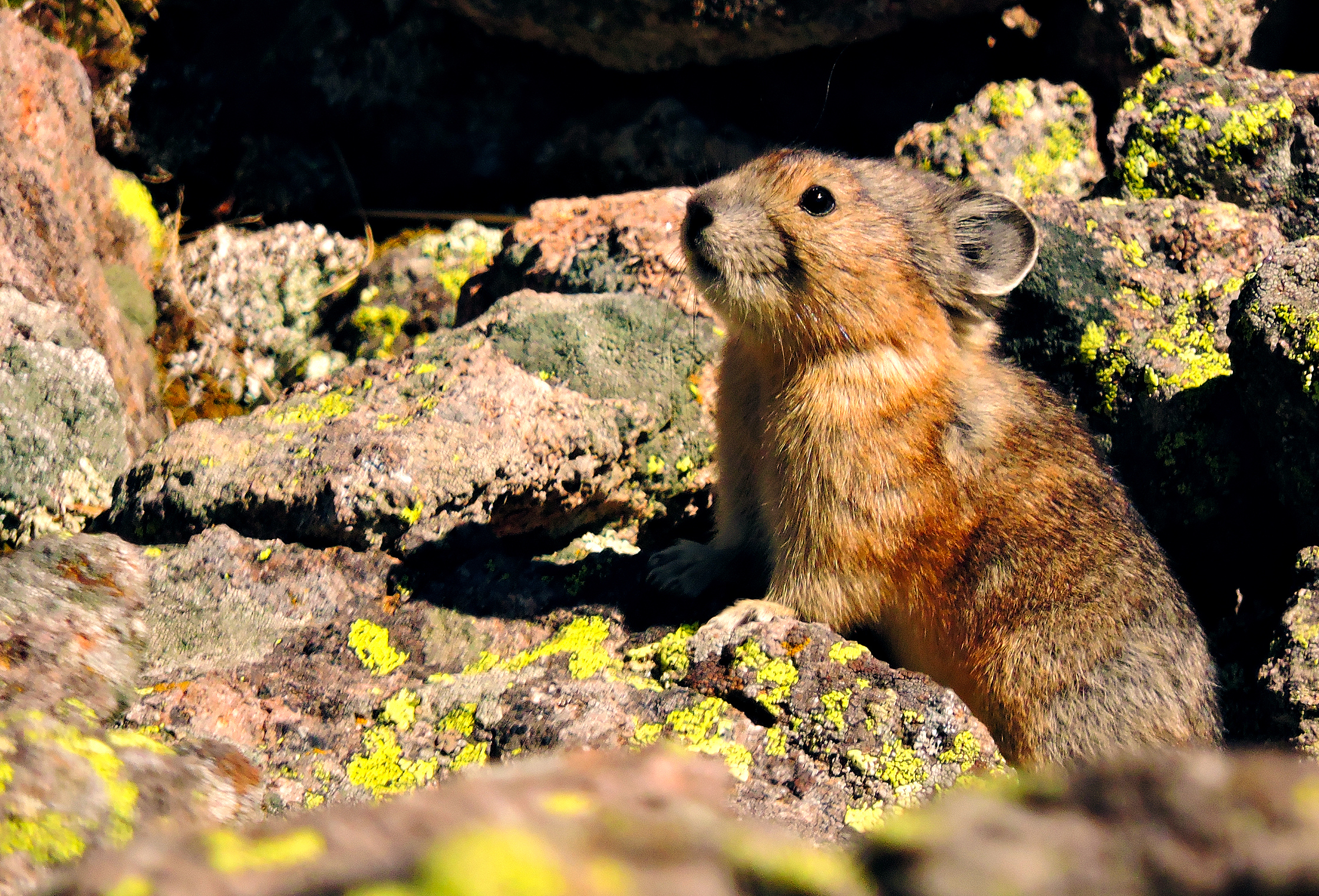
American Pika at Mount Rainier
Mount Rainier · Pierce County · Cascades
NPS has mapped about 900 talus sites at Mount Rainier for a rabbit relative that does not hibernate — and can die after two hours above 82.4°F.
- Wildlife & Ecology
- Science / Strange Washington
An Officer and a Gentleman
Fort Worden · Jefferson County · filmed April 1981 · Olympic Peninsula
The Navy would not let Paramount shoot in Pensacola. Port Townsend said yes — and Fort Worden became Officer Candidate School.
- Pop Culture
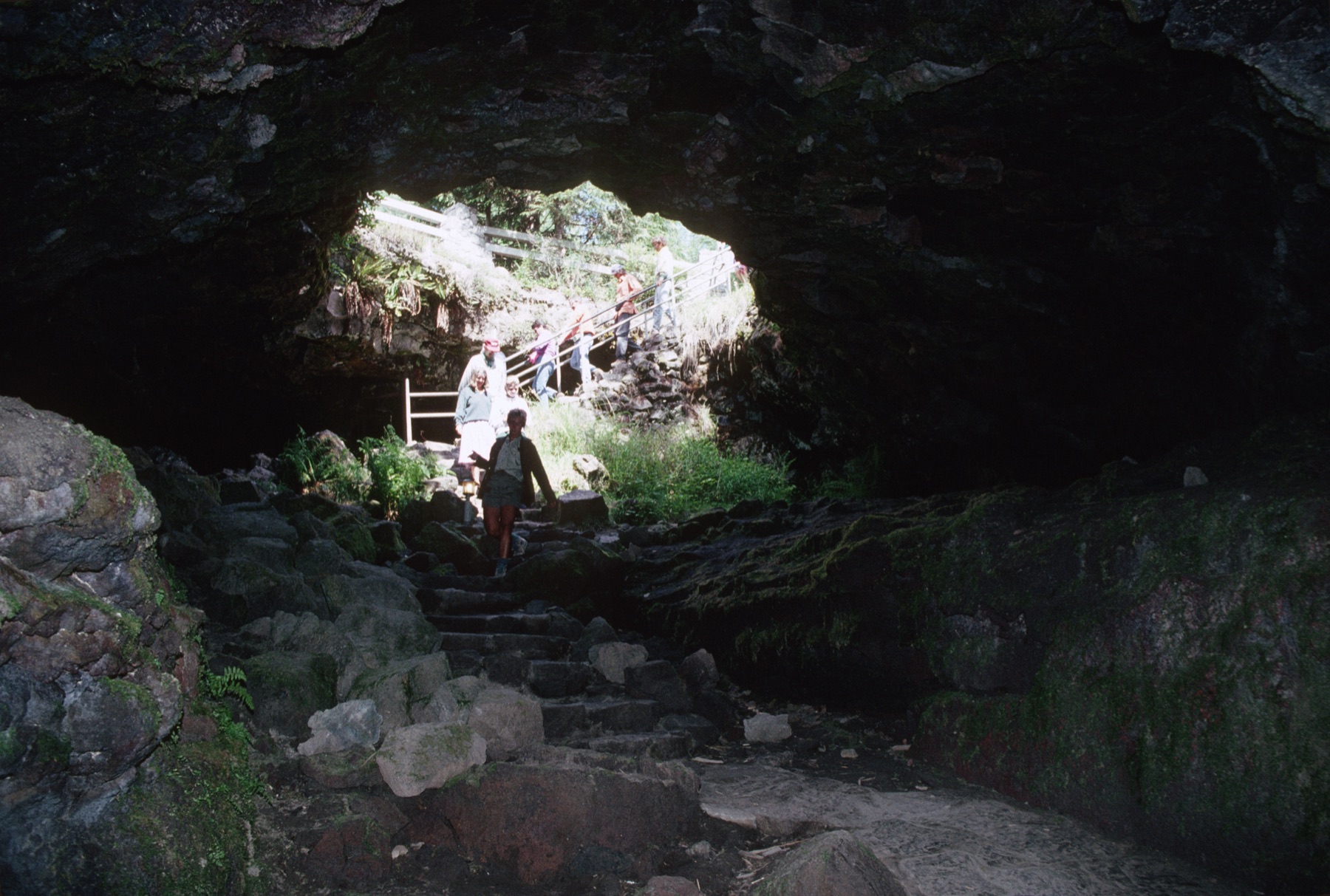
Ape Cave
Ape Cave · Skamania County · Cave Basalt about 1,895 years ago · Cascades
A pahoehoe lava tube on the southwest flank of Mount St. Helens is the third longest in North America.
- Geography & Geology
- Science / Strange Washington
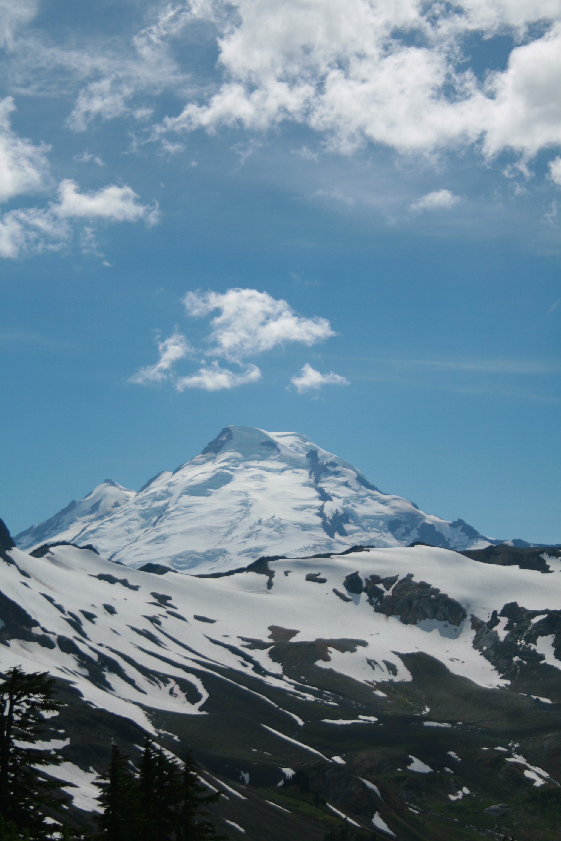
Artist Point
Artist Point · Whatcom County · North Cascades
State Route 542 climbs to 5,140 feet and ends at Artist Point, with views of Mount Baker and Mount Shuksan.
- Geography & Geology
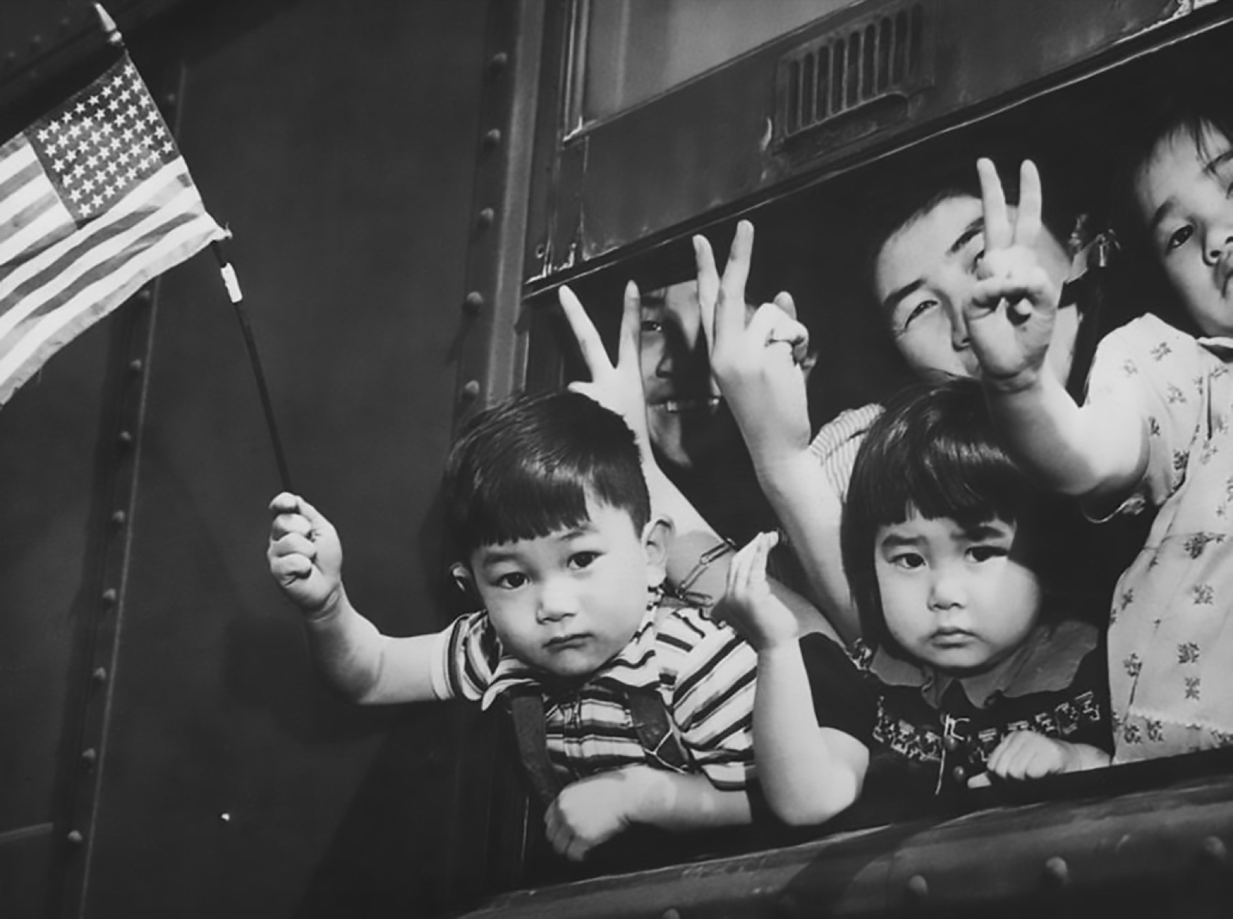
Bainbridge Island Japanese American Exclusion Memorial
Bainbridge Island Japanese American Exclusion Memorial · Kitsap County · March 30, 1942 · Puget Sound
On March 30, 1942, 227 Bainbridge Islanders were the first Japanese Americans taken under Executive Order 9066. A wall at Eagledale dock now names 276 people.
- History
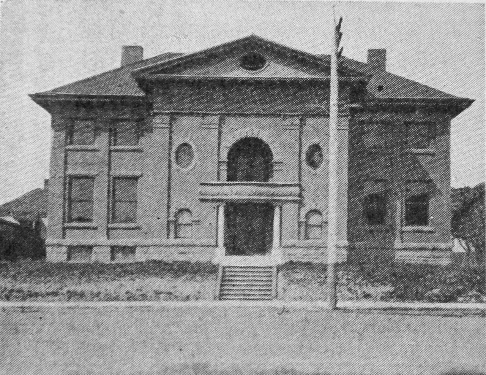
Ballard Avenue
Ballard · King County · district April 13, 1976 · Puget Sound
Before Seattle annexed it in 1907, Ballard was Washington’s seventh-largest city and home to the world’s largest shingle mills.
- History
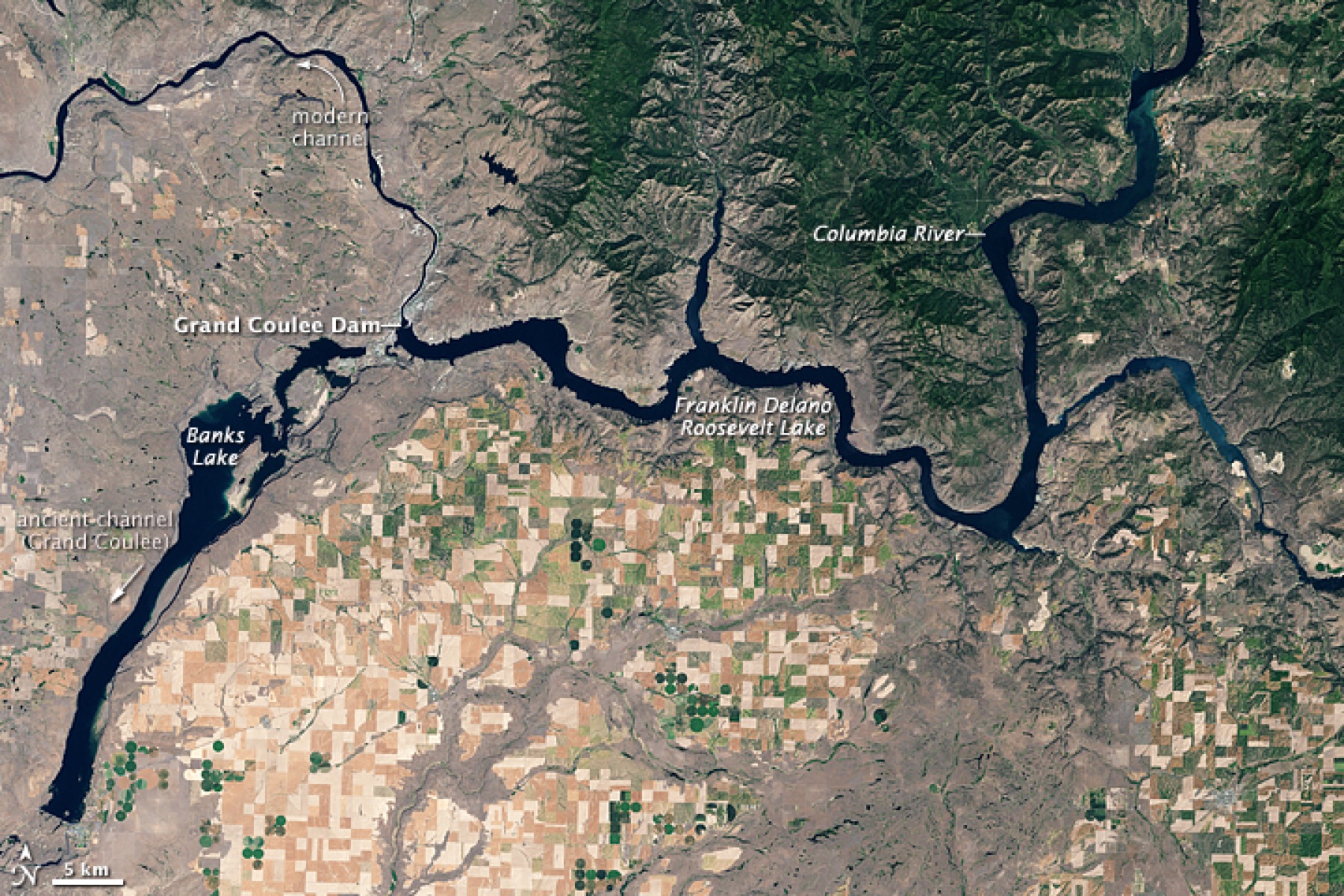
Banks Lake
Banks Lake · Grant County · Grand Coulee irrigation water, spring 1952 · Columbia Basin
Reclamation's equalizing reservoir for the Columbia Basin Project sits behind the Feeder Canal from Grand Coulee, the first stop for irrigation water heading south.
- Geography & Geology
- History
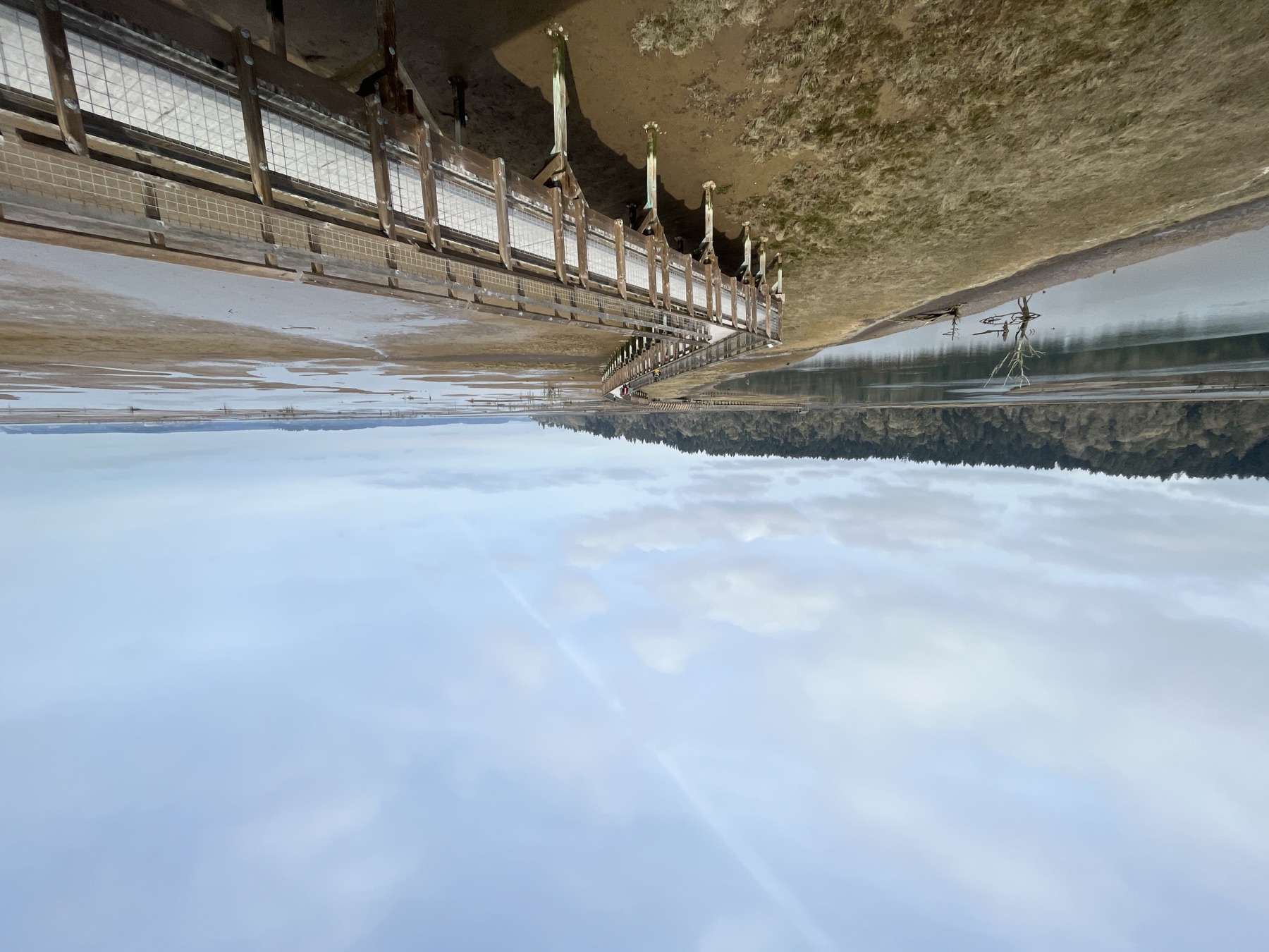
Billy Frank Jr. Nisqually National Wildlife Refuge
Billy Frank Jr. Nisqually National Wildlife Refuge · Thurston County · established 1974 · Puget Sound
FWS established this refuge in 1974 to protect the Nisqually River Delta, where freshwater meets Puget Sound.
- Wildlife & Ecology
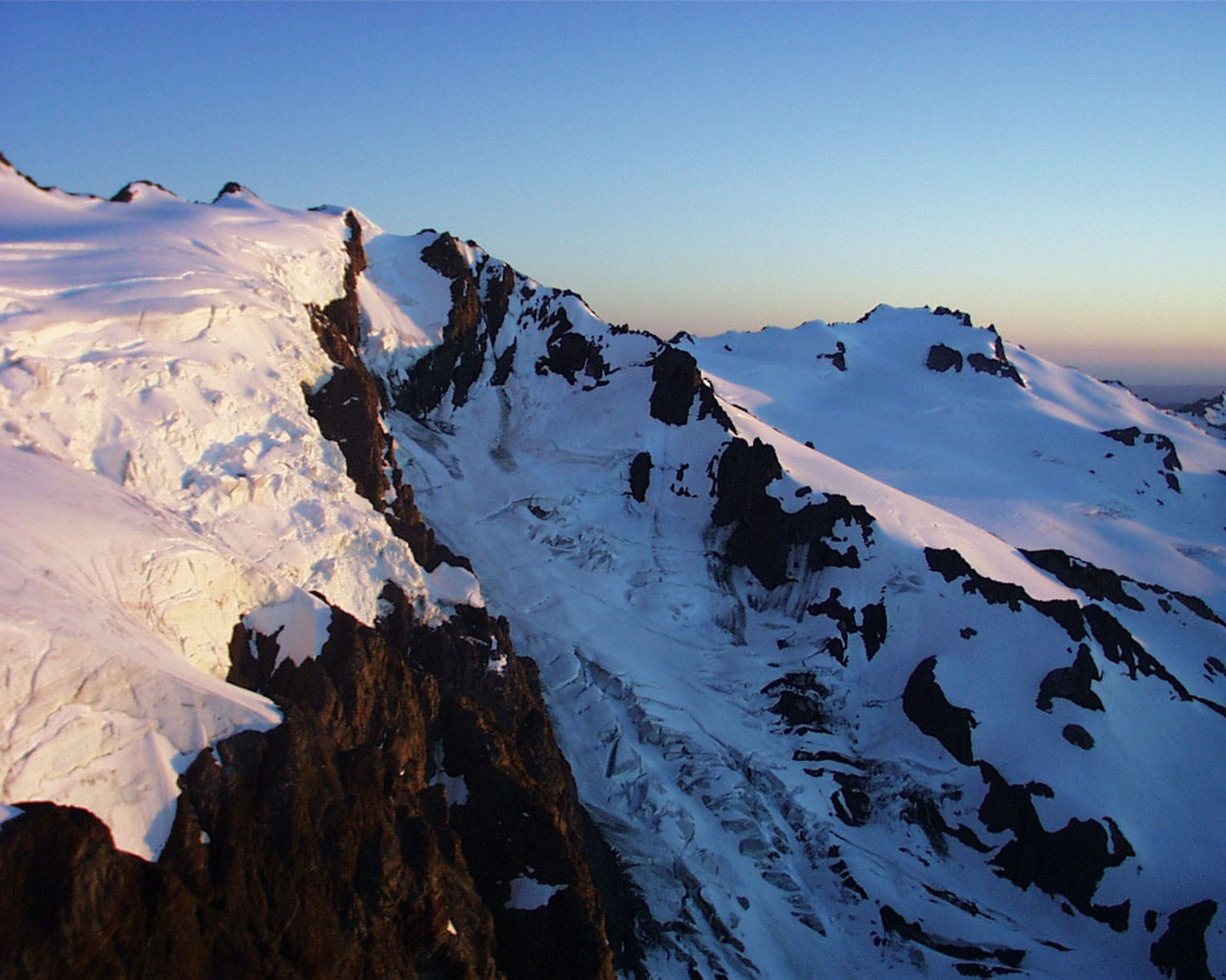
Blue Glacier
Blue Glacier · Jefferson County · measured since 1919 · Olympic Peninsula
Olympic's largest glacier has receded more than a third of a mile and lost more than 150 feet of ice thickness since 1919.
- Geography & Geology
- Science / Strange Washington
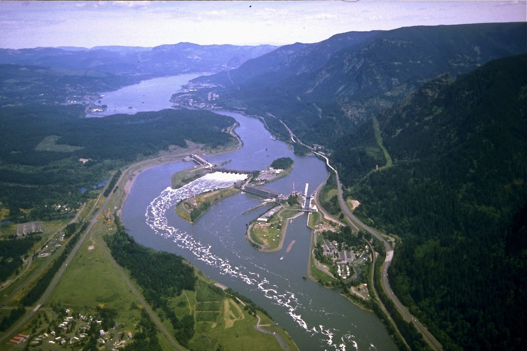
Bonneville Dam
Bonneville Dam · Skamania County · first powerhouse completed 1938 · Columbia River
The first federal lock and dam on the Columbia and Snake spans the river between Oregon and Washington at river mile 146.1.
- Geography & Geology
- History
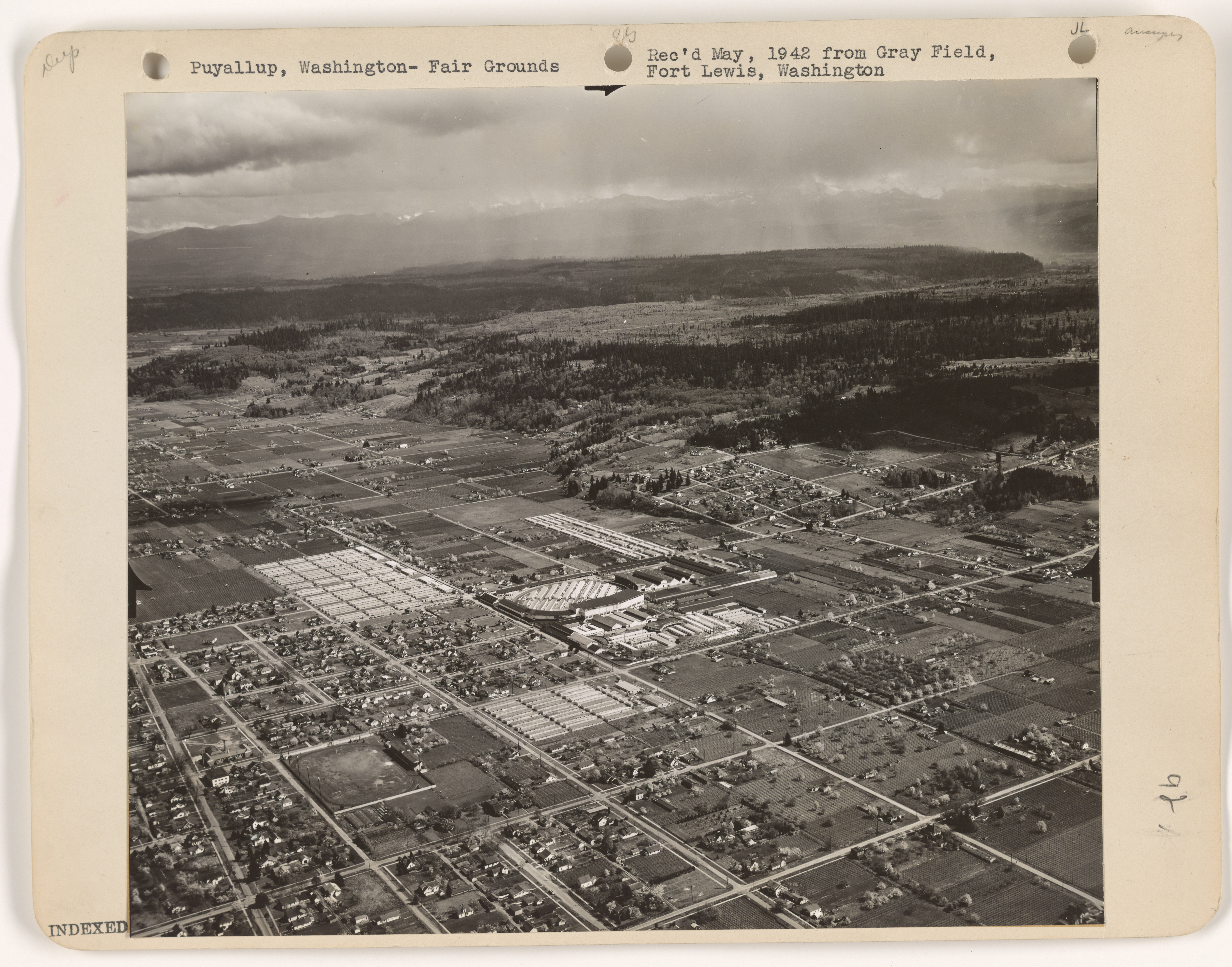
Camp Harmony
Western Washington State Fairgrounds, Puyallup · Pierce County · April 28–September 12, 1942 · Puget Sound
NPS says the Puyallup fairgrounds held 7,390 people from Washington and Alaska between April 28 and September 12, 1942, before trains left for Minidoka.
- History
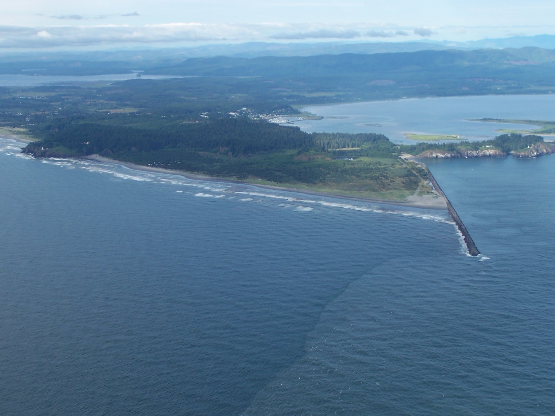
Cape Disappointment
Cape Disappointment · Pacific County · Lewis reached the cape 1805 · Coast
A British trader named the headland for a river he could not find. Lewis and Clark later walked it to see the Pacific.
- Geography & Geology
- History
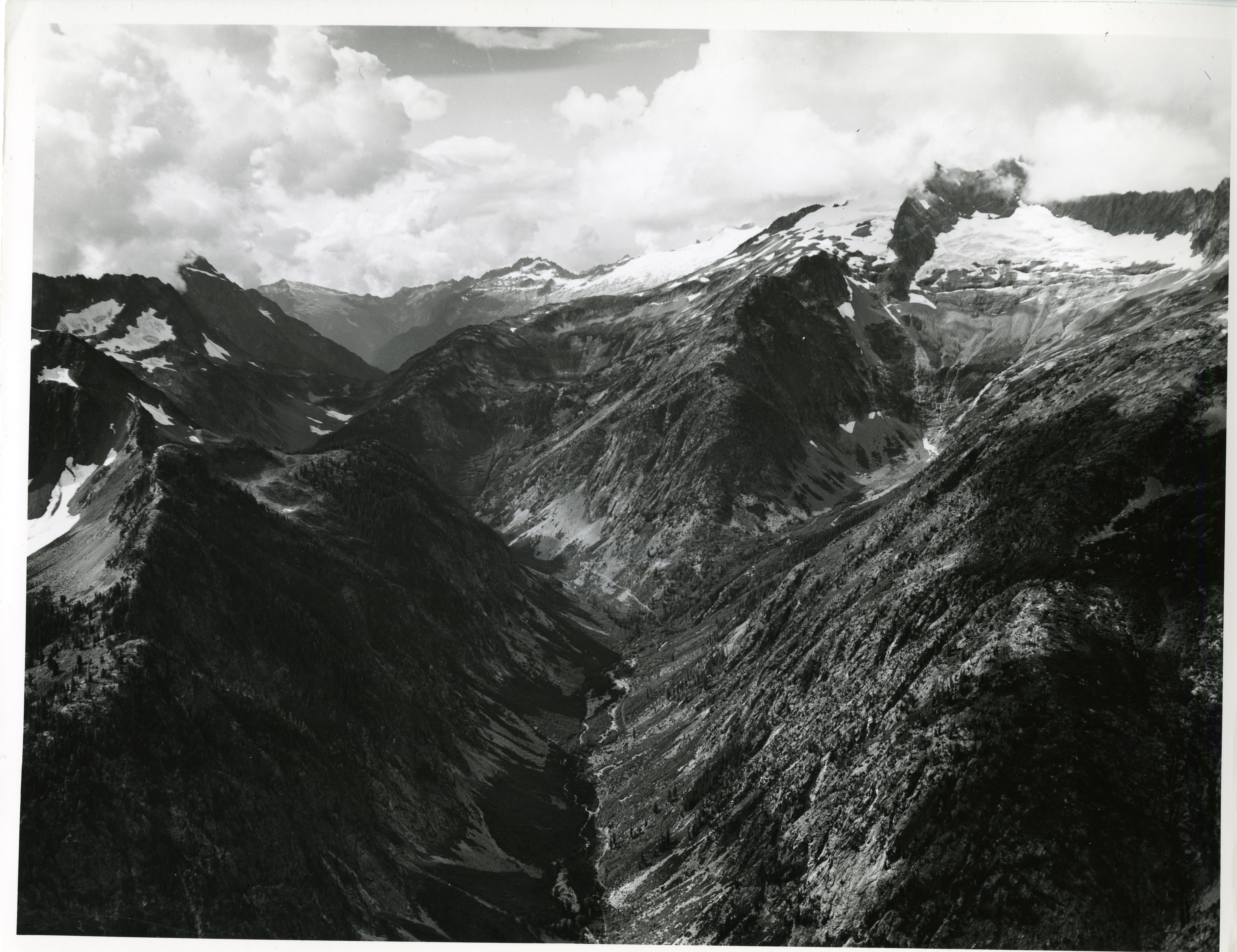
Cascade Pass
Cascade Pass · Skagit County · North Cascades
North Cascades' most popular day hike climbs 3.7 miles and 1,700 feet to a pass that once carried travelers through the range.
- Geography & Geology
- Indigenous History & Place
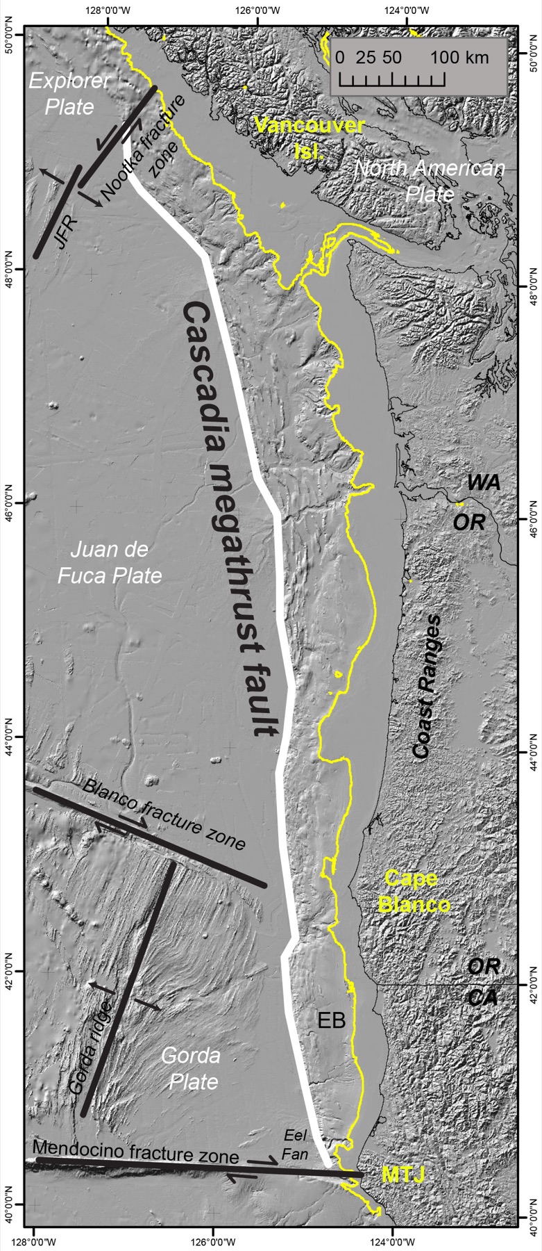
Cascadia Subduction Zone
Washington coast · Clallam County · 18th century to present · Olympic Coast
A quiet plate boundary runs from California to British Columbia — and under Washington.
- Geography & Geology
- Science / Strange Washington
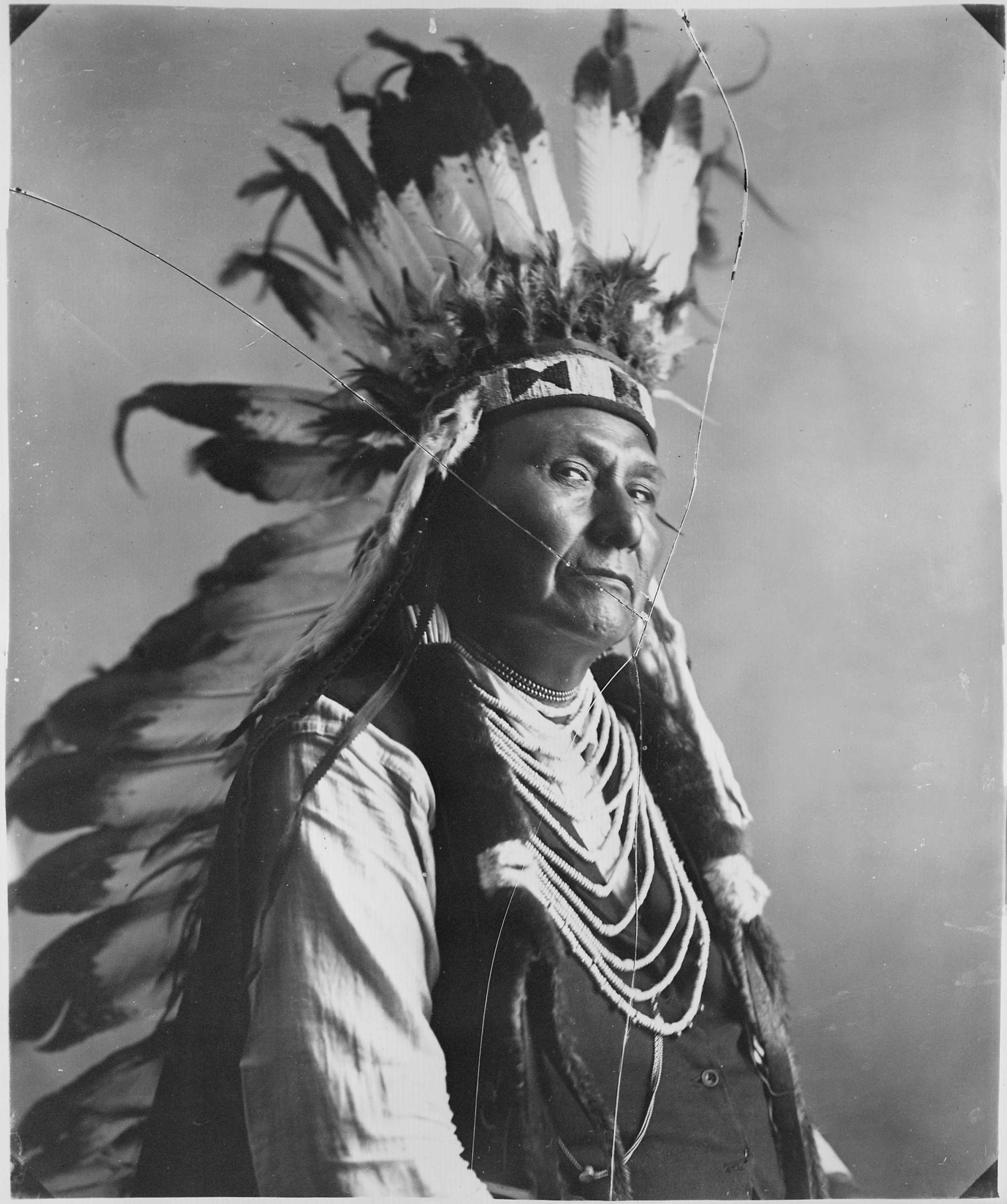
Chief Joseph
Nespelem · Okanogan County · died September 21, 1904 · Columbia Basin
Hin-mah-too-yah-lat-kekt led the Wallowa band. After the 1877 flight he was refused a return to Oregon and died on the Colville Reservation on September 21, 1904.
- History
- Indigenous History & Place
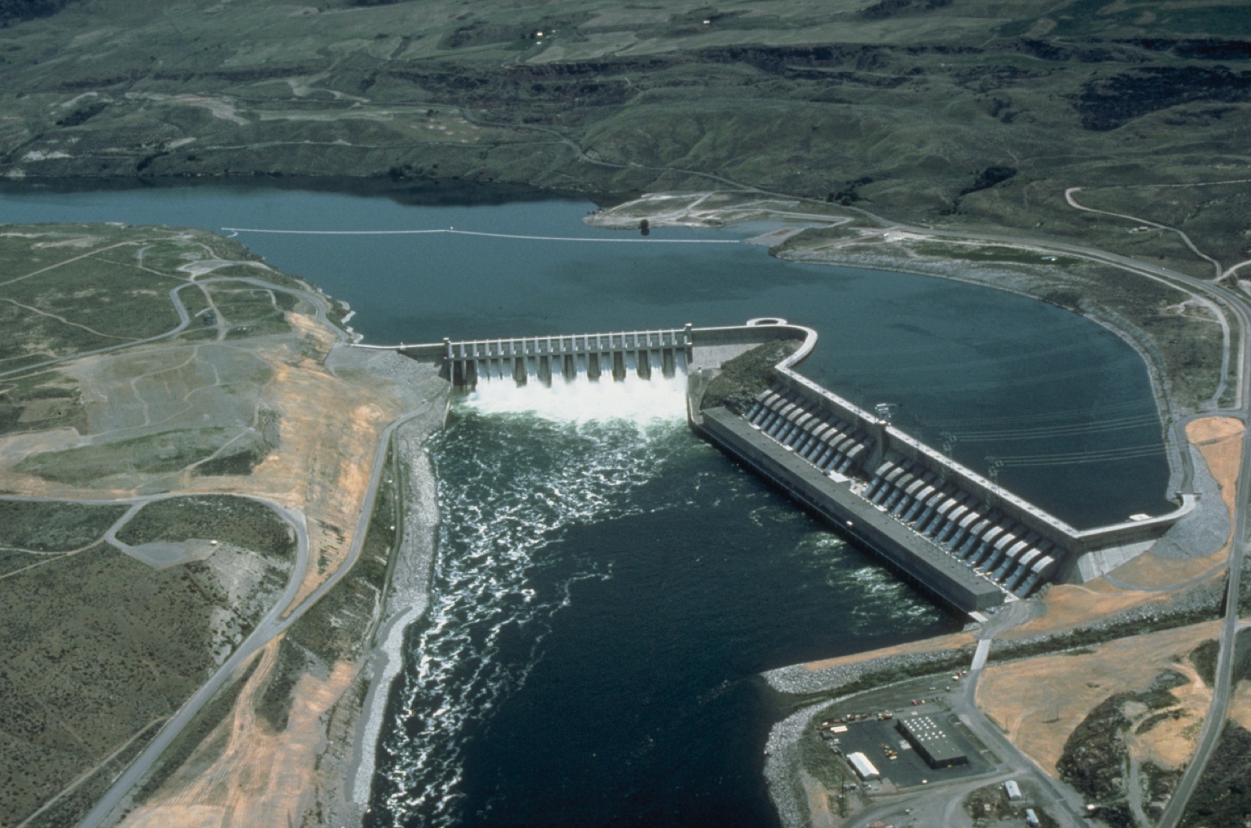
Chief Joseph Dam
Chief Joseph Dam · Douglas County · construction began 1949 · Columbia River
The Corps calls this the second-leading hydropower producer in the United States, a 27-unit dam at Bridgeport that backs up 51-mile Rufus Woods Lake.
- Geography & Geology
- History
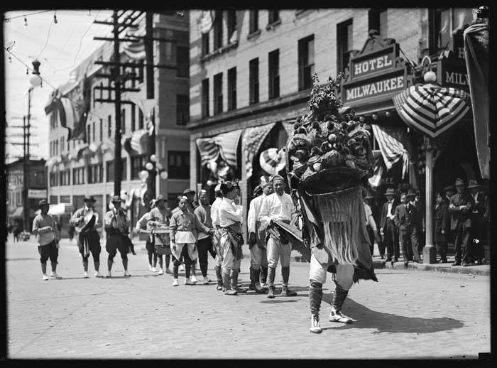
Chinatown–International District
Chinatown–International District · King County · district 1973 · Puget Sound
Seattle’s third Chinatown rose on King Street after the Jackson Regrade. The city later wrapped Chinatown, Japantown, Manilatown, and Little Saigon in one historic district.
- History
- Music & Culture
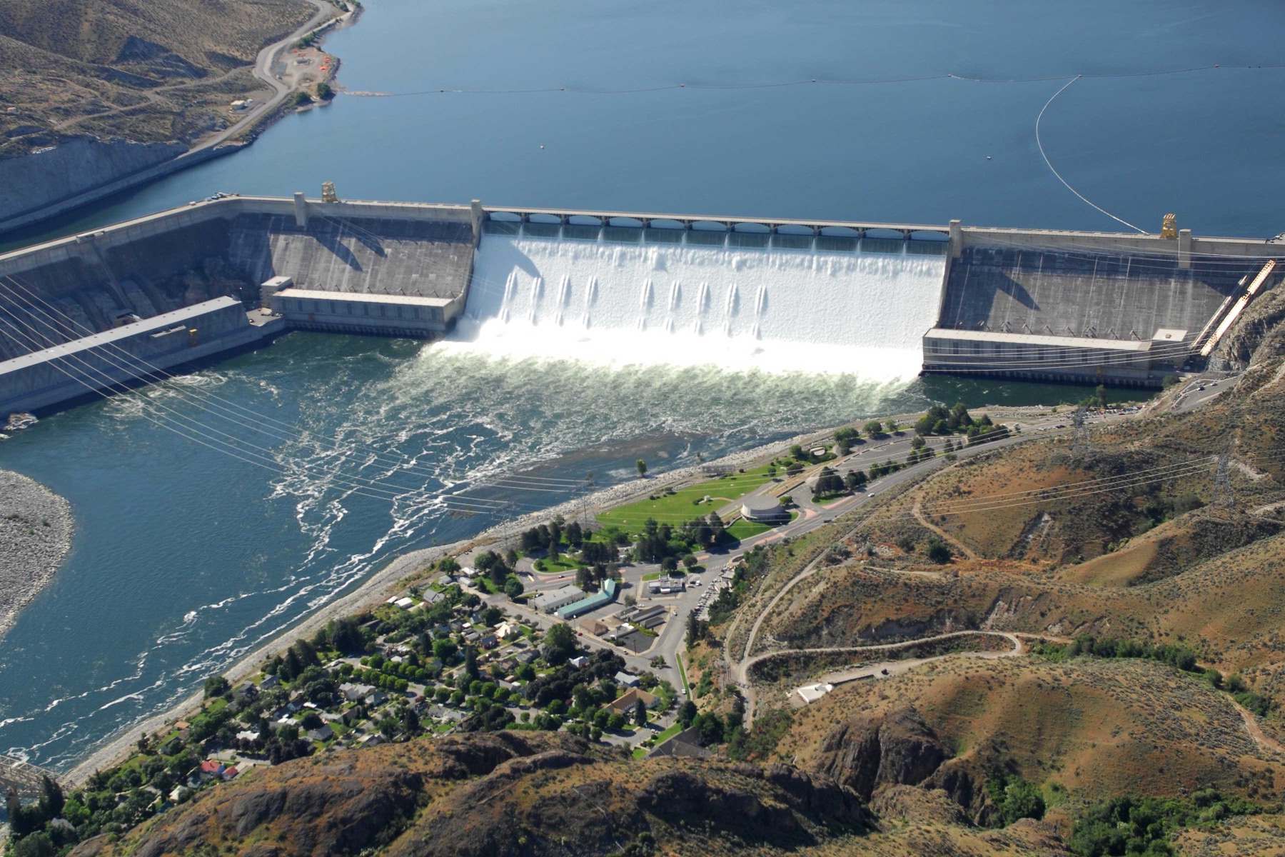
Columbia Basin Project
Columbia Basin Project · Grant County · authorized 1943 · Columbia Basin
Reclamation's irrigation project now serves about 671,000 acres in east-central Washington, roughly two-thirds of the land Congress authorized in 1943.
- Geography & Geology
- History
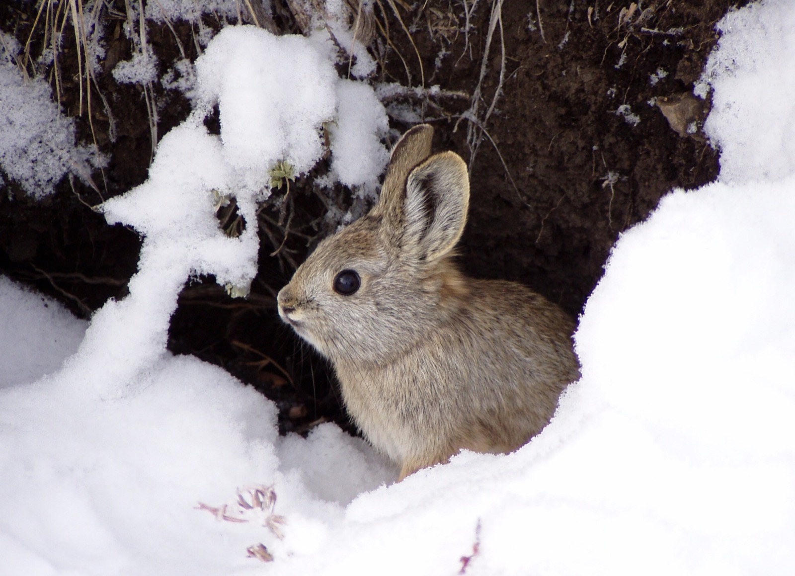
Columbia Basin Pygmy Rabbit
Sagebrush Flat · Douglas County · wild releases since 2011 · Columbia Basin
North America’s smallest rabbit survives in Washington as a distinct, endangered sagebrush population that WDFW is still putting back on the land.
- Wildlife & Ecology
- Science / Strange Washington
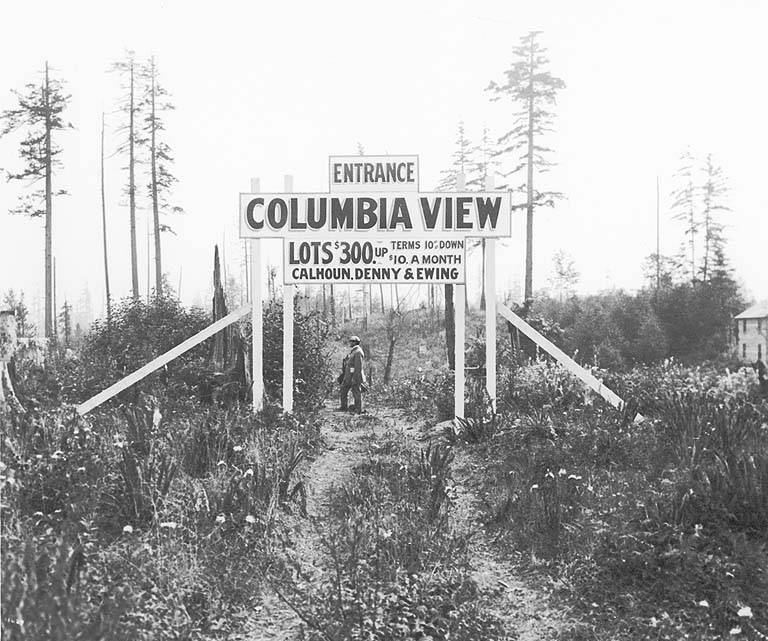
Columbia City
Columbia City · King County · district 1978 · Puget Sound
A mill-and-railroad town on Rainier Avenue that Seattle annexed in 1907, later saved as a landmark district around a Carnegie library and village green.
- History
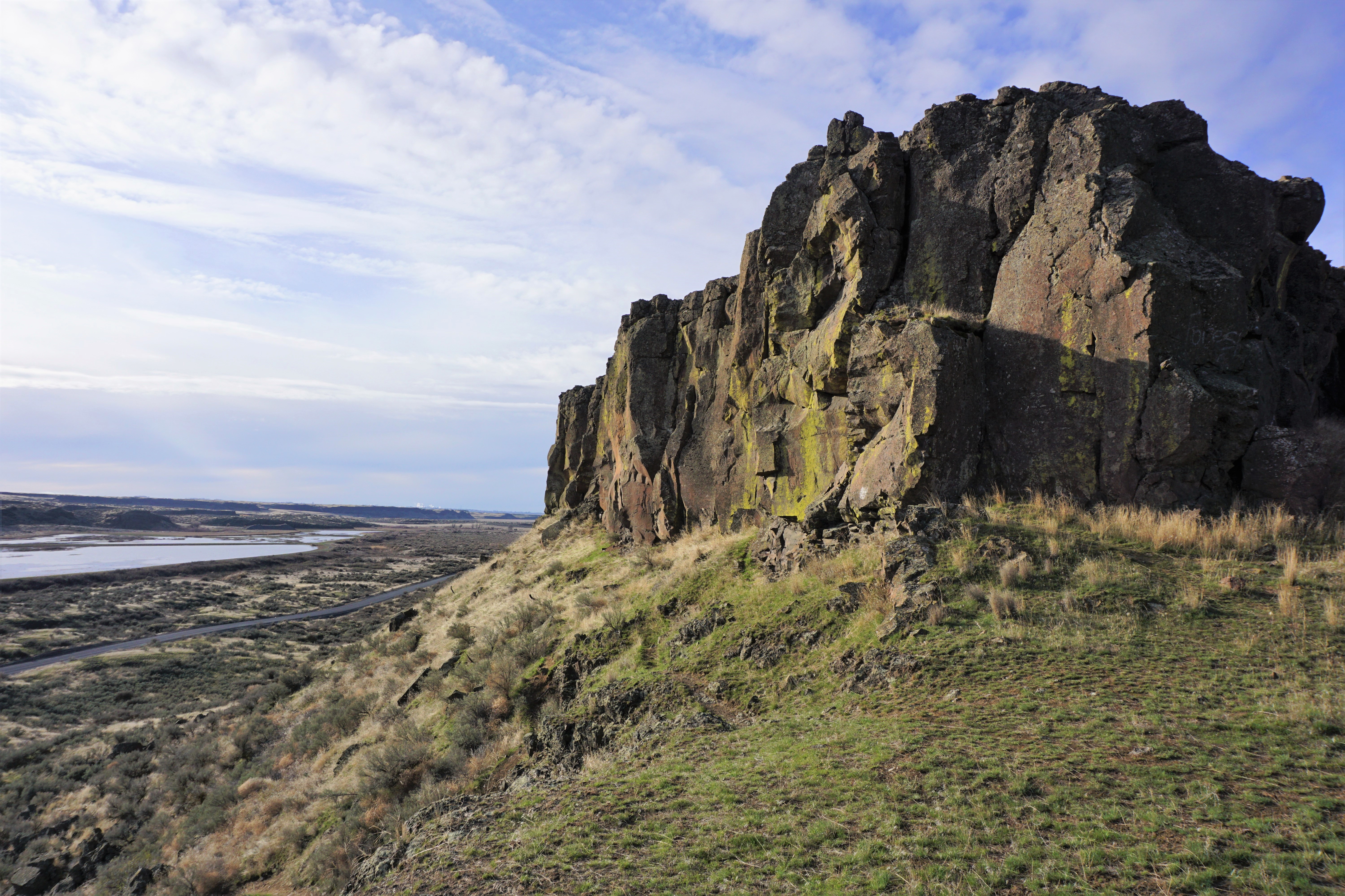
Columbia National Wildlife Refuge
Columbia National Wildlife Refuge · Grant County · 1944 · Columbia Basin
Ice Age floods tore coulees through this desert. Irrigation seepage later filled the holes, and a 1944 refuge now winters ducks, geese, and sandhill cranes.
- Geography & Geology
- Wildlife & Ecology
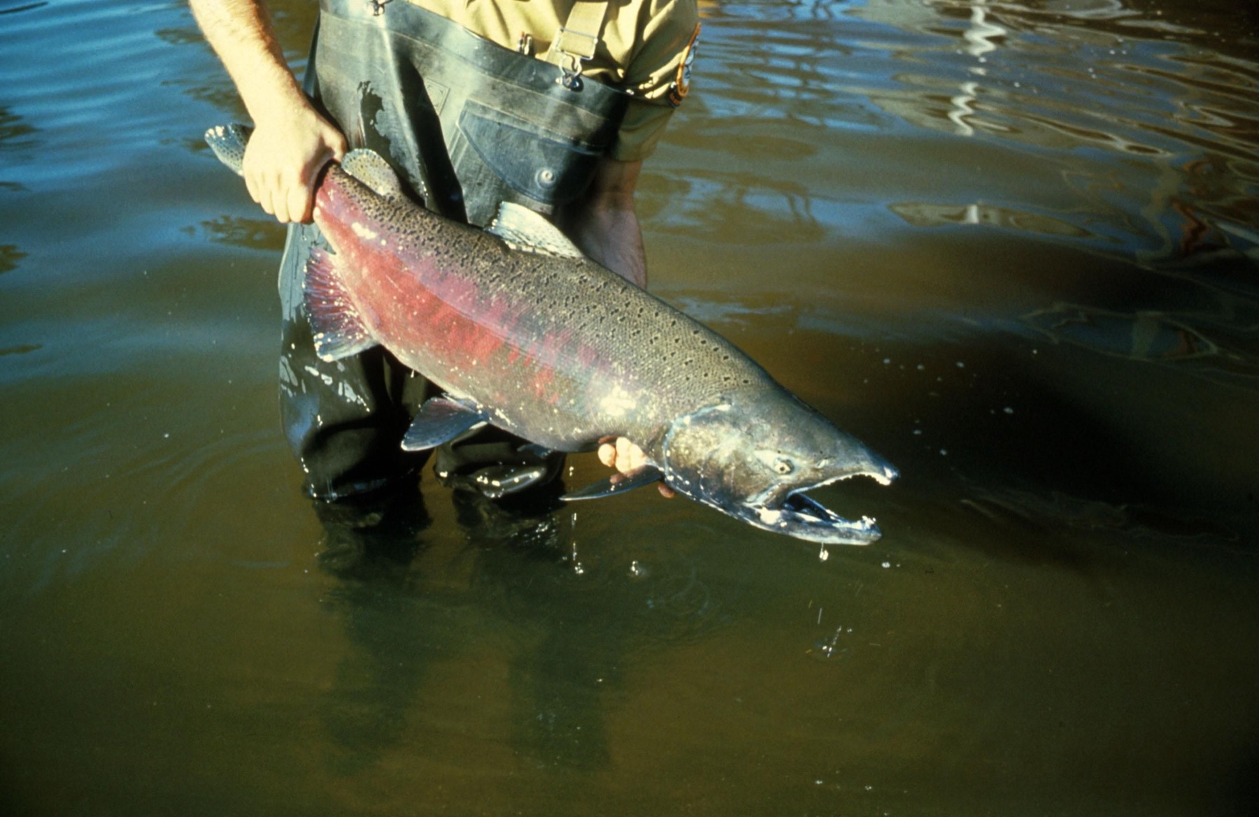
Columbia River Chinook
Columbia River estuary · Pacific County · Upper Columbia spring-run listed endangered 1999 · Columbia River
Chinook are the largest Pacific salmon. NOAA lists several Columbia River populations as threatened or endangered, and they are primary prey for Southern Resident killer whales.
- Wildlife & Ecology
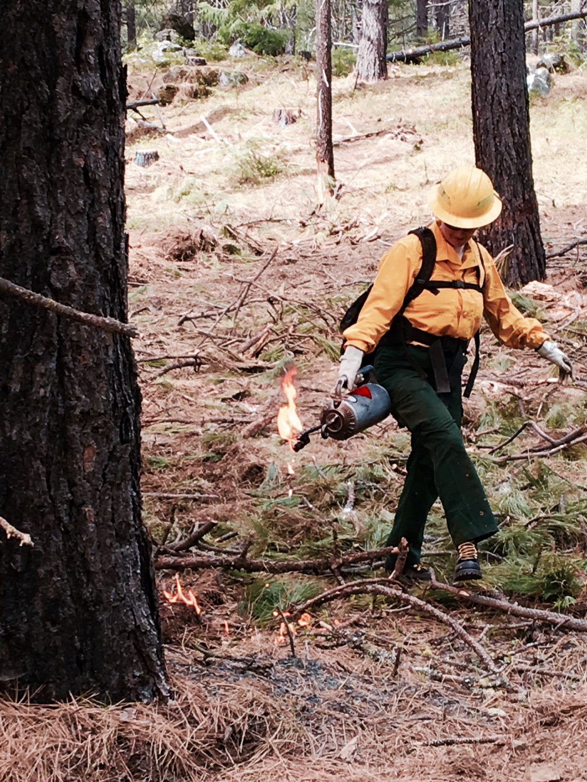
Conboy Lake National Wildlife Refuge
Conboy Lake National Wildlife Refuge · Klickitat County · South Cascades
At the foot of Mount Adams, this valley holds Washington's only breeding greater sandhill cranes — about 25 pairs — and rare Oregon spotted frogs.
- Wildlife & Ecology
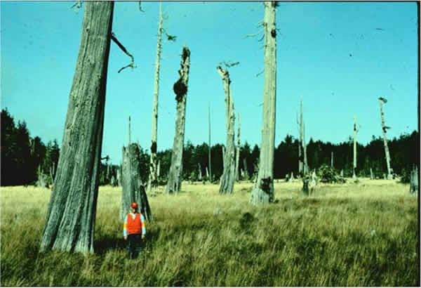
Copalis Ghost Forest
Copalis River ghost forest · Grays Harbor County · January 26, 1700 · Pacific Coast
Western red cedars at the Copalis River died between the 1699 and 1700 growing seasons — killed when Cascadia dropped the coast.
- Geography & Geology
- Science / Strange Washington
Cypress Island Aquatic Reserve
Cypress Island · Skagit County · designated 2007 · San Juan Islands
Six thousand acres of state-owned water around the largest undeveloped island in the San Juans, ringed with bull kelp and pocket beaches.
- Wildlife & Ecology
- Science / Strange Washington
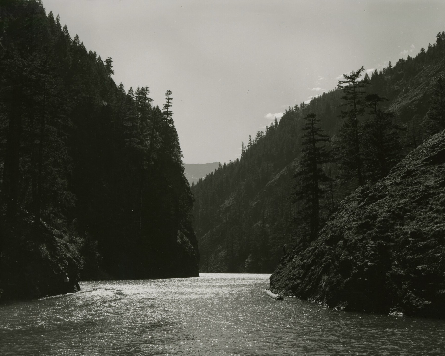
Diablo Lake
Diablo Lake Overlook · Whatcom County · reservoir on the Skagit · North Cascades
The turquoise is not dye. It is rock, ground to flour by ice and held in a reservoir.
- Geography & Geology
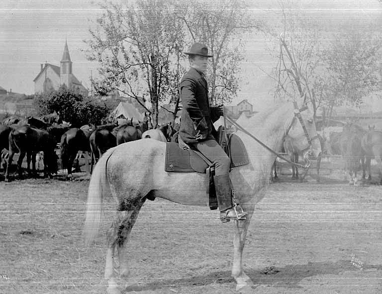
Discovery Park
Fort Lawton · King County · dedicated 1973 · Puget Sound
Seattle’s largest park sits on Magnolia Bluff, on land Duwamish and other Coast Salish people used for thousands of years before it became Fort Lawton.
- Wildlife & Ecology
- History
- Indigenous History & Place
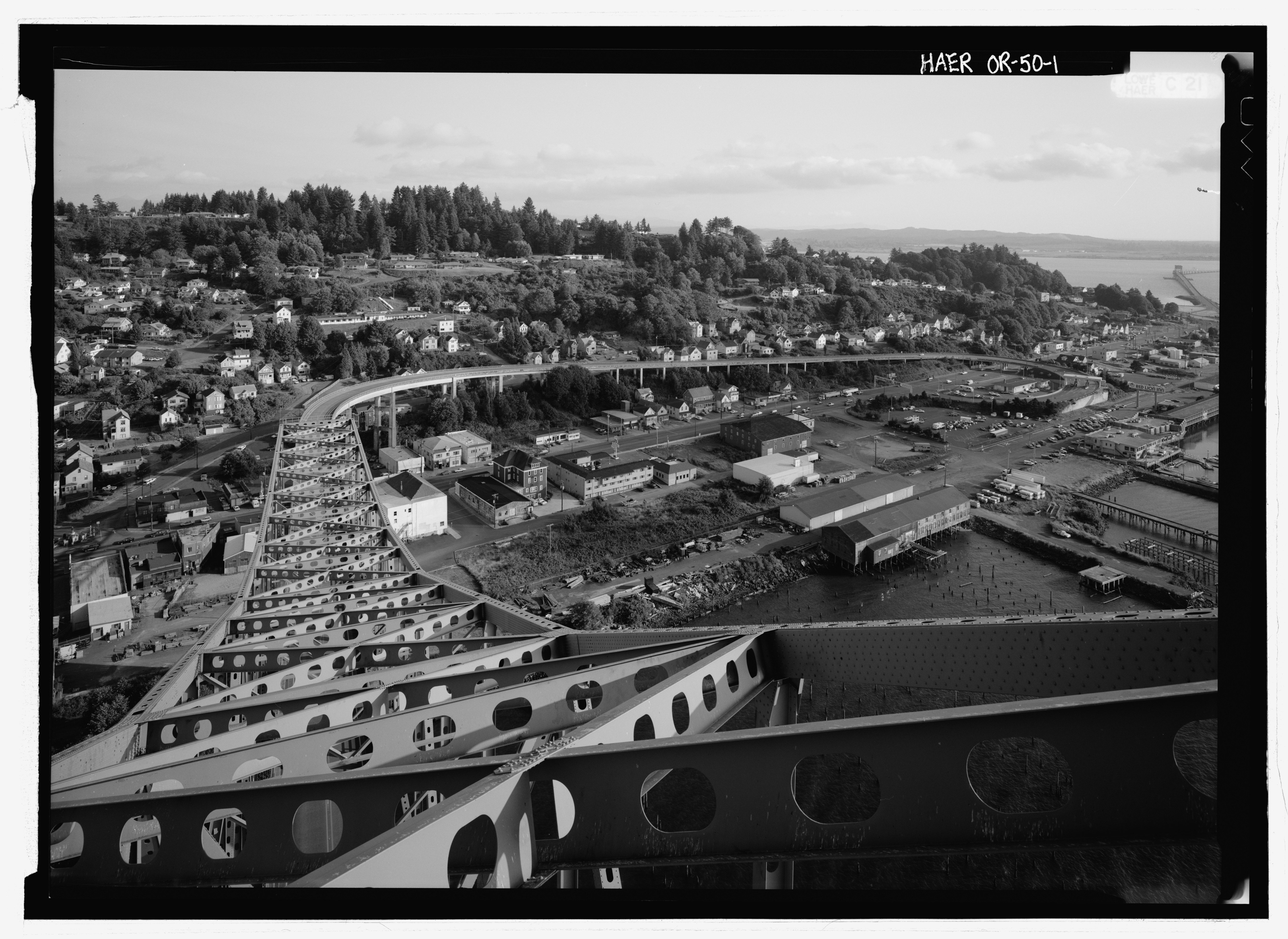
Dismal Nitch
Dismal Nitch · Pacific County · November 10–15, 1805 · Columbia Mouth
A November 1805 storm pinned the Corps of Discovery to a rocky Washington cove for six days — Clark called it “that dismal little nitch.”
- History
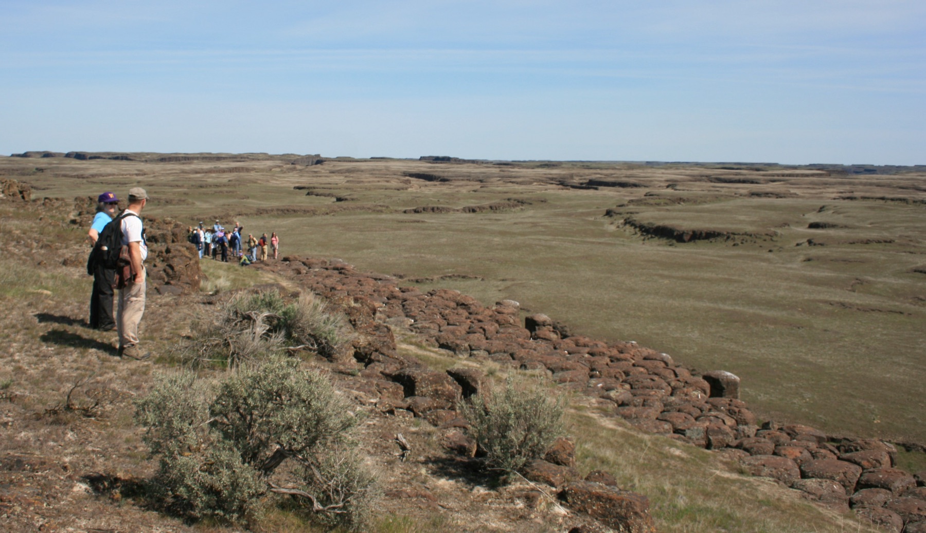
Drumheller Channels
Drumheller Channels · Grant County · designated a National Natural Landmark in 1986 · Columbia Basin
A cascade of buttes and basins west of Othello is the Ice Age Floods landscape the National Park Service calls the most spectacular of its kind.
- Geography & Geology
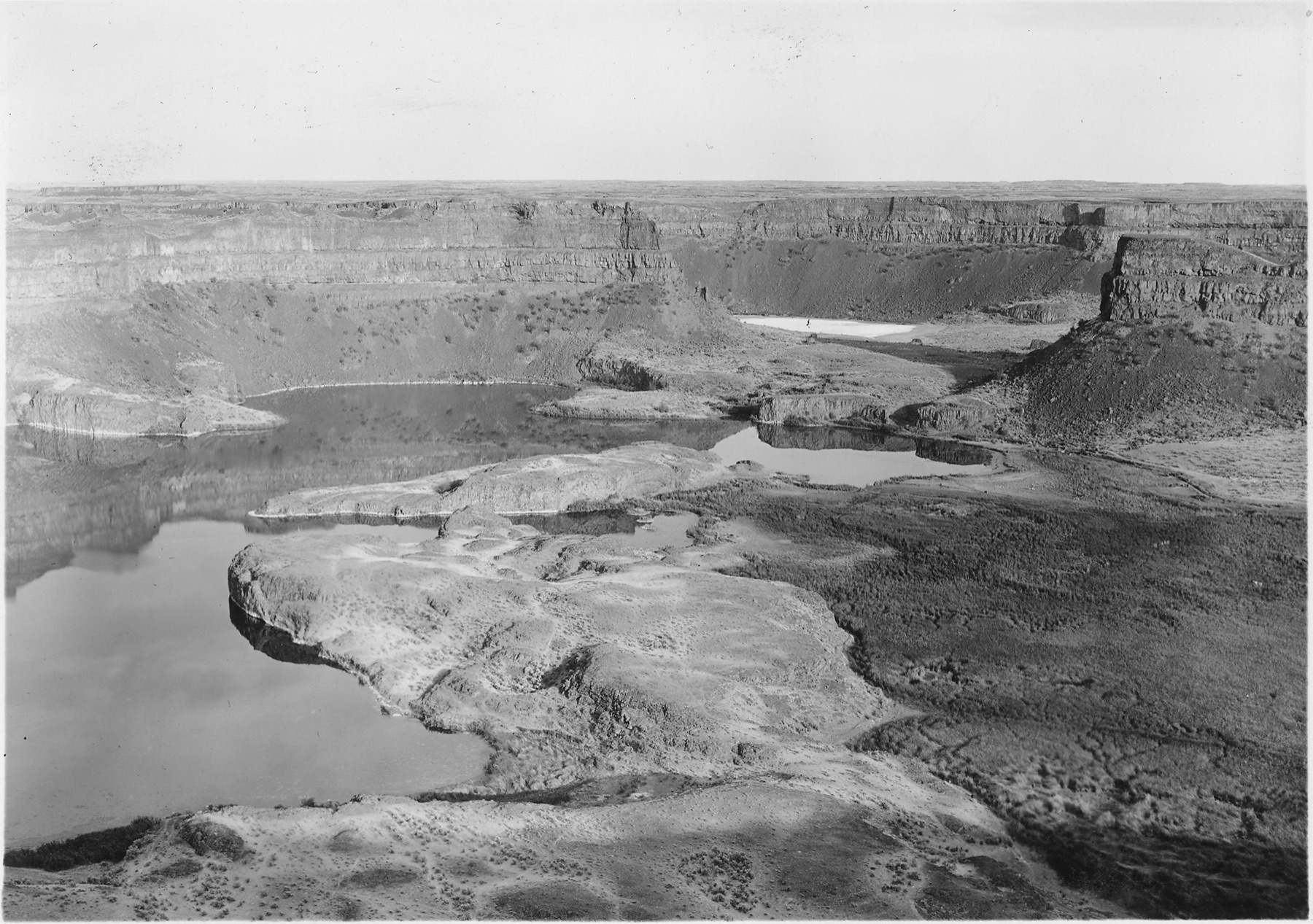
Dry Falls
Dry Falls · Grant County · about 17,000–15,000 years ago · Columbia Basin
A 3.5-mile cliff in the Grand Coulee is the lip of a waterfall that once dwarfed Niagara.
- Geography & Geology
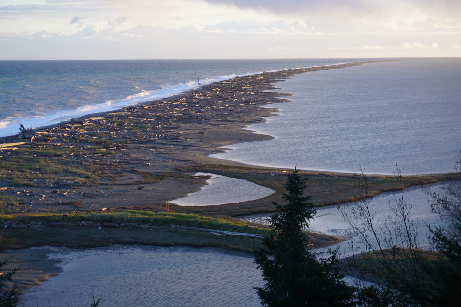
Dungeness Spit
Dungeness National Wildlife Refuge · Clallam County · established January 20, 1915 · Olympic Peninsula
One of the world's longest sand spits shelters a bay President Wilson set aside in 1915 as a refuge, preserve, and breeding ground for native birds.
- Geography & Geology
- Wildlife & Ecology
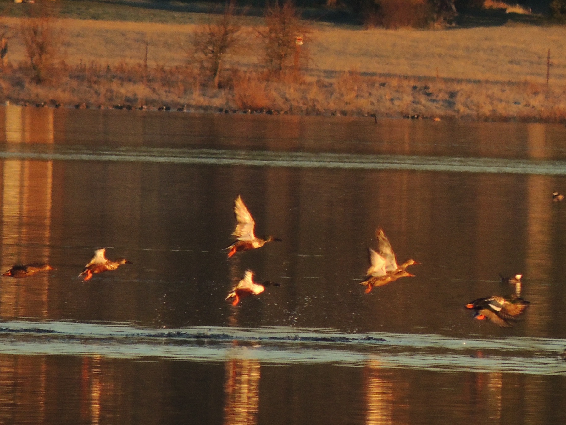
Ebey's Landing
Ebey's Landing National Historical Reserve · Island County · established 1978 · Puget Sound
Congress made this the first national historical reserve in 1978, a working landscape on Whidbey Island that is mostly still in private hands.
- Geography & Geology
- History
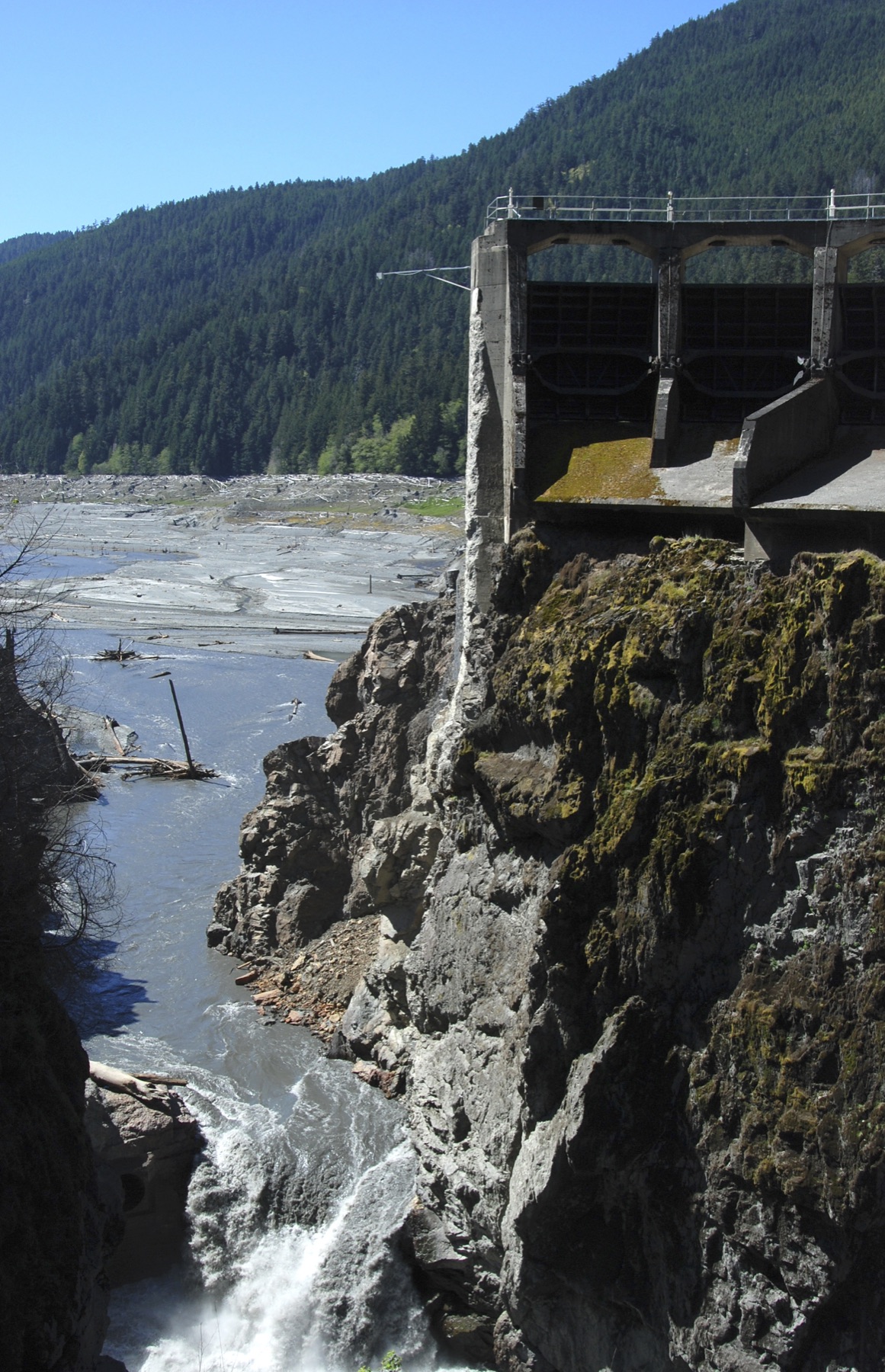
Elwha River restoration
Elwha River · Clallam County · 2011–2014 · Olympic Peninsula
The largest dam removal in U.S. history gave the Elwha back to salmon — and to the people who lived along it.
- Wildlife & Ecology
- History
- Indigenous History & Place
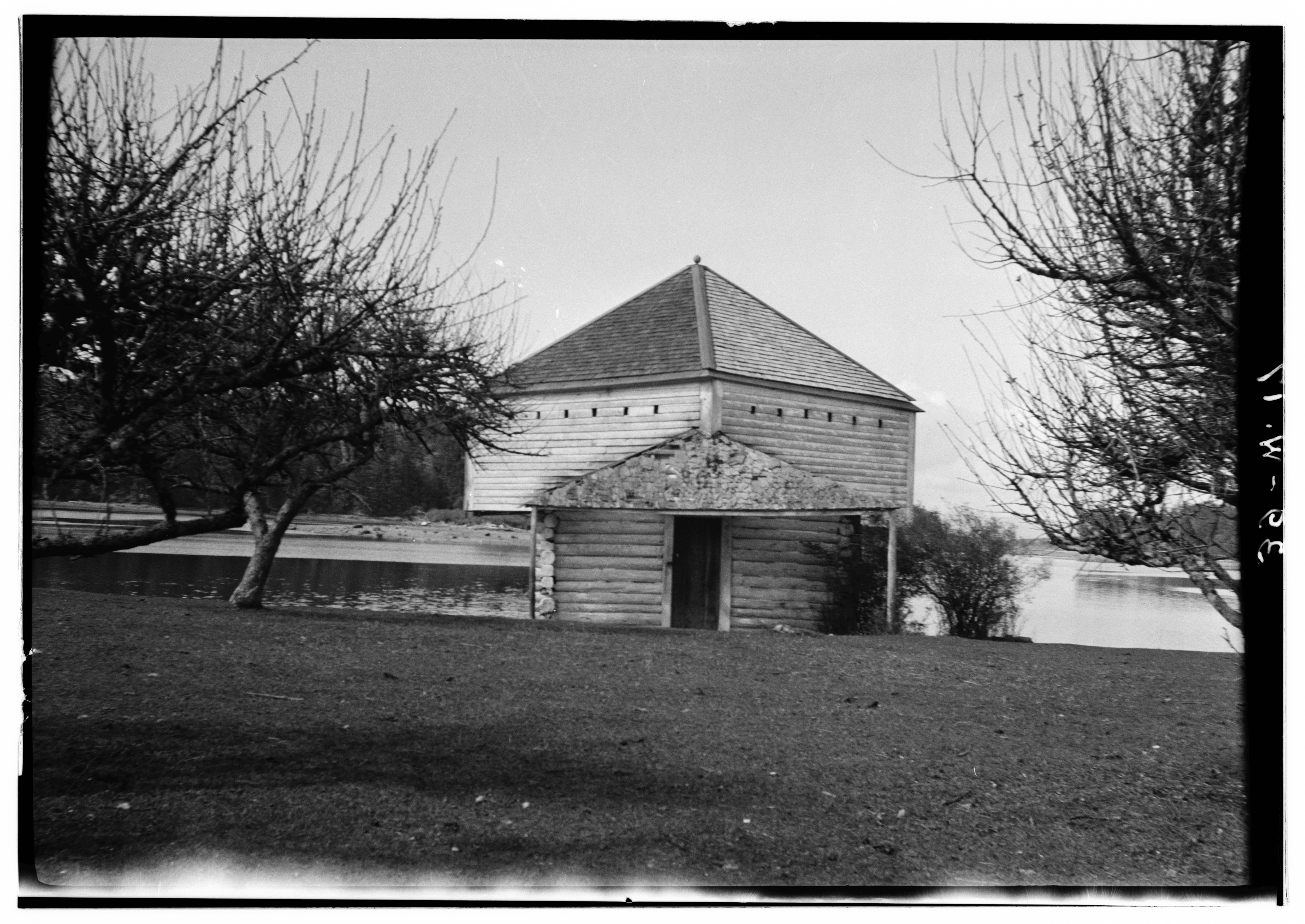
English Camp
English Camp · San Juan County · joint occupation, 1859–1872 · San Juan Islands
Royal Marines camped on a Coast Salish shell bank on Garrison Bay while the United States and Britain argued over who owned the San Juans.
- History
- Indigenous History & Place
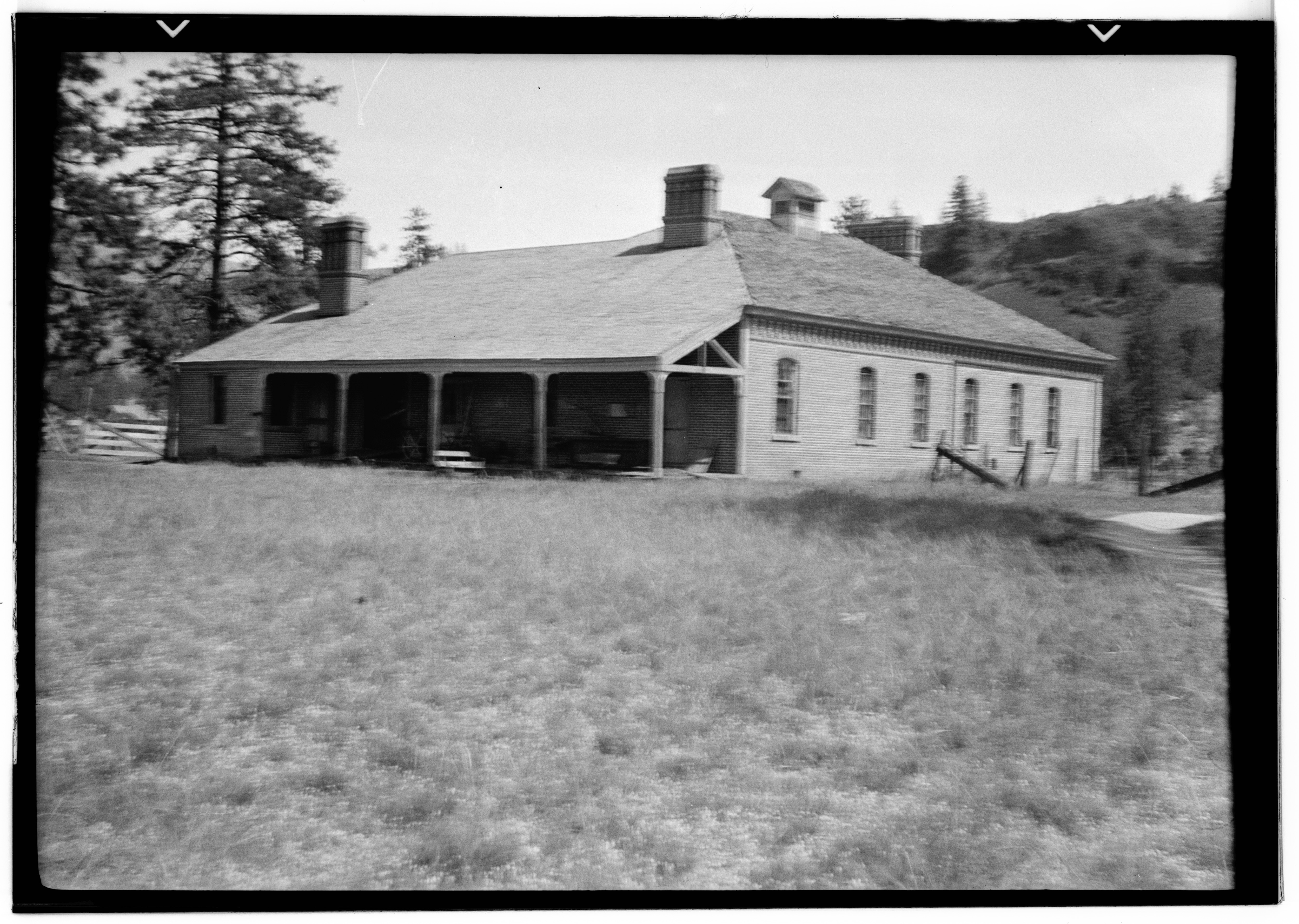
Fort Spokane
Fort Spokane · Lincoln County · 1880 · Columbia Basin
The Army built a fort above the Spokane–Columbia confluence in 1880. After the garrison left, the same buildings became a boarding school and then a hospital.
- History
- Indigenous History & Place
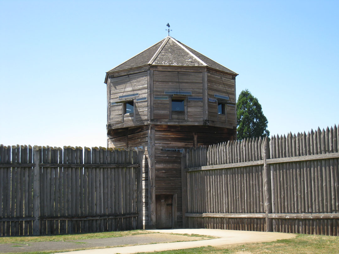
Fort Vancouver
Fort Vancouver · Clark County · 1825–1860 · Columbia Gorge
A Hudson's Bay Company depot on the Columbia became the colonial capital of the Pacific Northwest — then an Army post.
- History
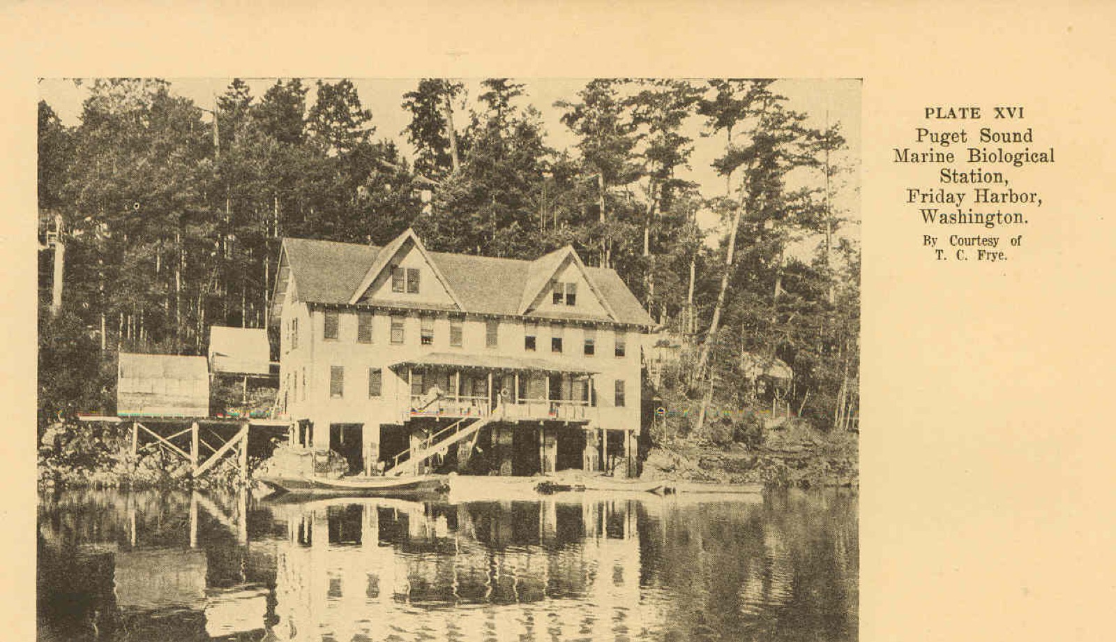
Friday Harbor Laboratories
Friday Harbor · San Juan County · station started 1903 · San Juan Islands
UW’s marine station on San Juan Island has run since 1903, on a 490-acre biological preserve in some of the richest cold water on the coast.
- Wildlife & Ecology
- Science / Strange Washington
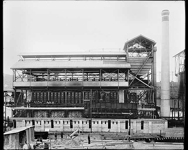
Gas Works Park
Gas Works Park · King County · opened 1975 · Puget Sound
A coal-gas plant on Lake Union ran from 1906 to 1956. Seattle kept the towers and opened the ruins as a park.
- History
- Science / Strange Washington
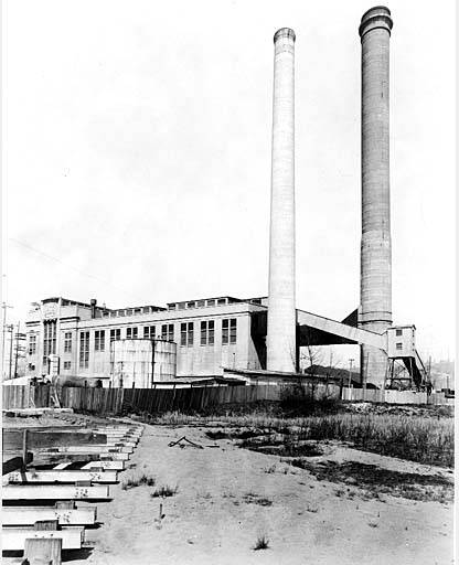
Georgetown
Georgetown · King County · annexed April 11, 1910 · Puget Sound
Seattle’s last small-town annexation of the 1900s still holds a National Historic Landmark steam plant on the Duwamish.
- History
- Science / Strange Washington
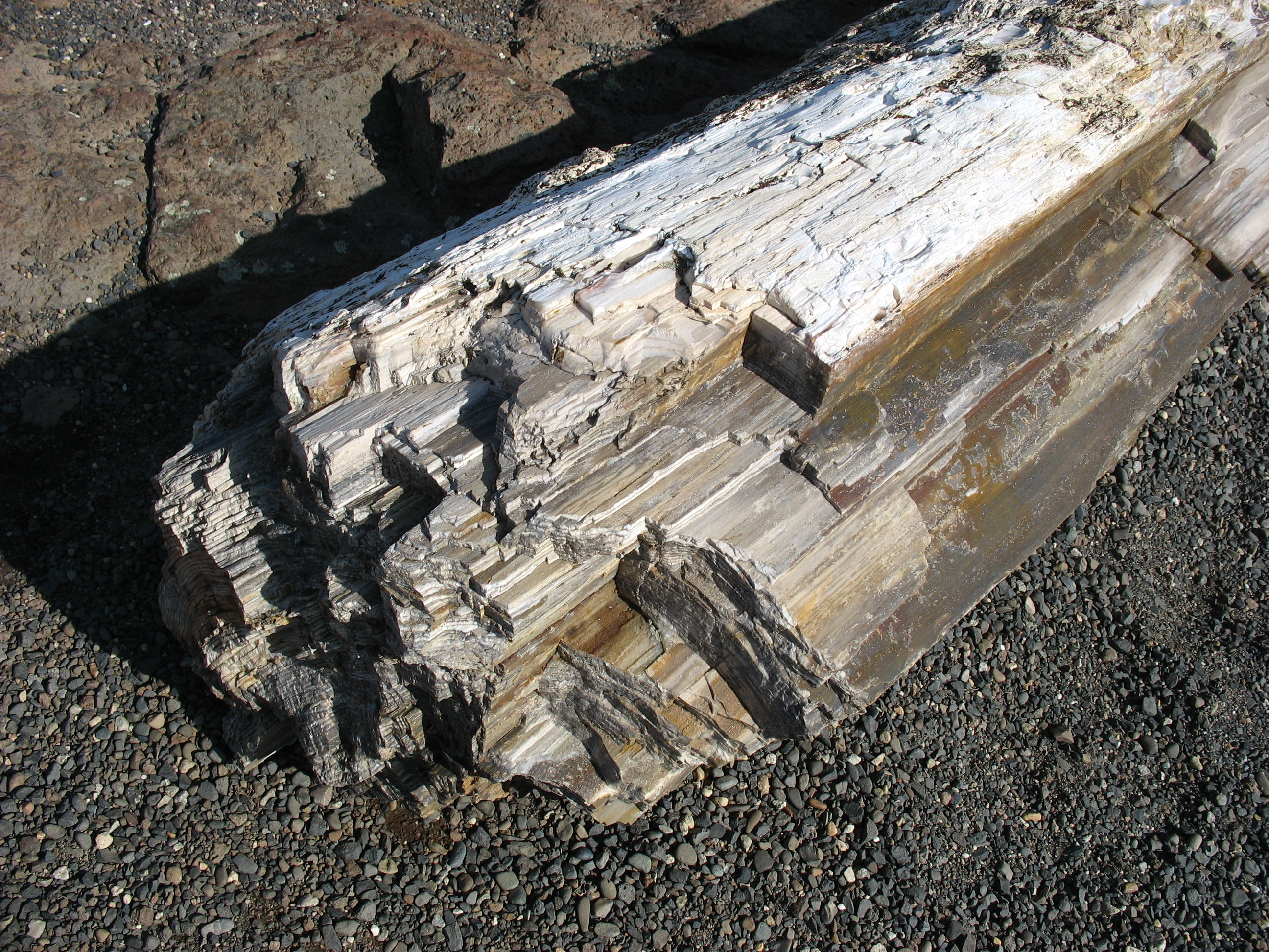
Ginkgo Petrified Forest
Ginkgo Petrified Forest · Kittitas County · ginkgo discovered 1932 · Columbia Basin
One of North America's most diverse fossil forests sits above the Columbia at Vantage — and petrified ginkgo turned up here in 1932.
- Geography & Geology
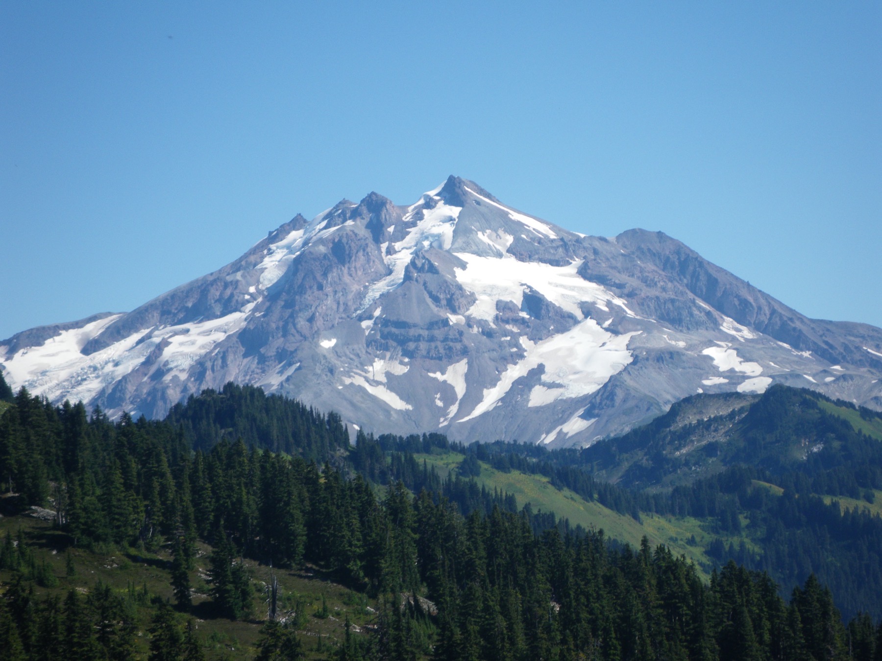
Glacier Peak
Glacier Peak · Snohomish County · last eruption about 1,100 years ago · North Cascades
Washington's most remote active volcano is easy to miss from the cities — and has produced some of the biggest eruptions in the Lower 48.
- Geography & Geology
- Science / Strange Washington
Goldendale Observatory
Goldendale Observatory · Klickitat County · public observatory, State Parks · Columbia Gorge
A state-park observatory in the hills above the Columbia that Parks says houses one of the nation’s largest public telescopes.
- Science / Strange Washington
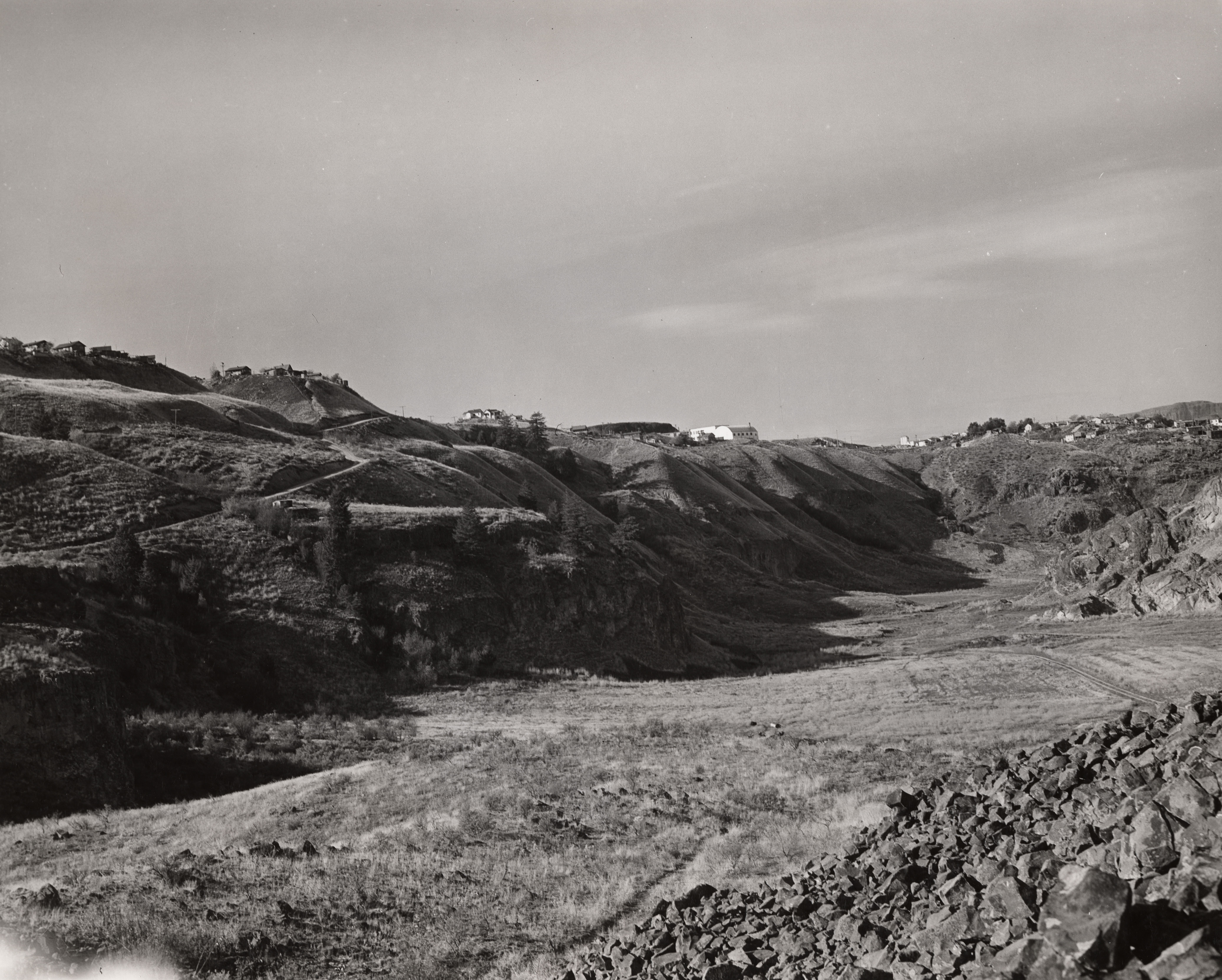
Grand Coulee
Grand Coulee · Grant County · Ice Age floods · Columbia Basin
A dry canyon about 50 miles long holds the geologic story of a river that lost its channel — until people flooded part of it as Banks Lake.
- Geography & Geology
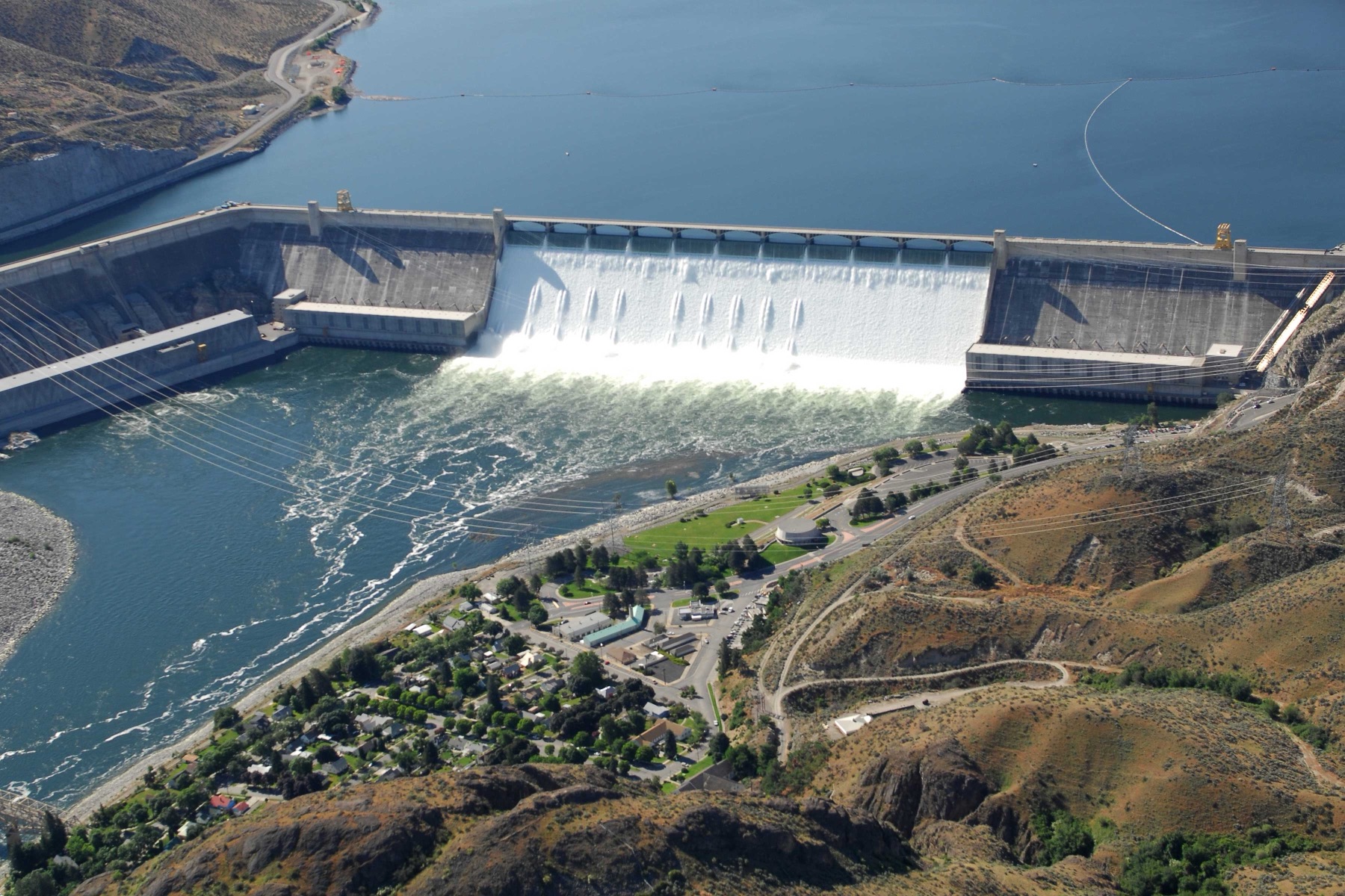
Grand Coulee Dam
Grand Coulee Dam · Grant County · 1933–1942 · Columbia Basin
A Depression-era dam turned the Columbia into irrigation, power, and a 151-mile lake.
- Geography & Geology
- History
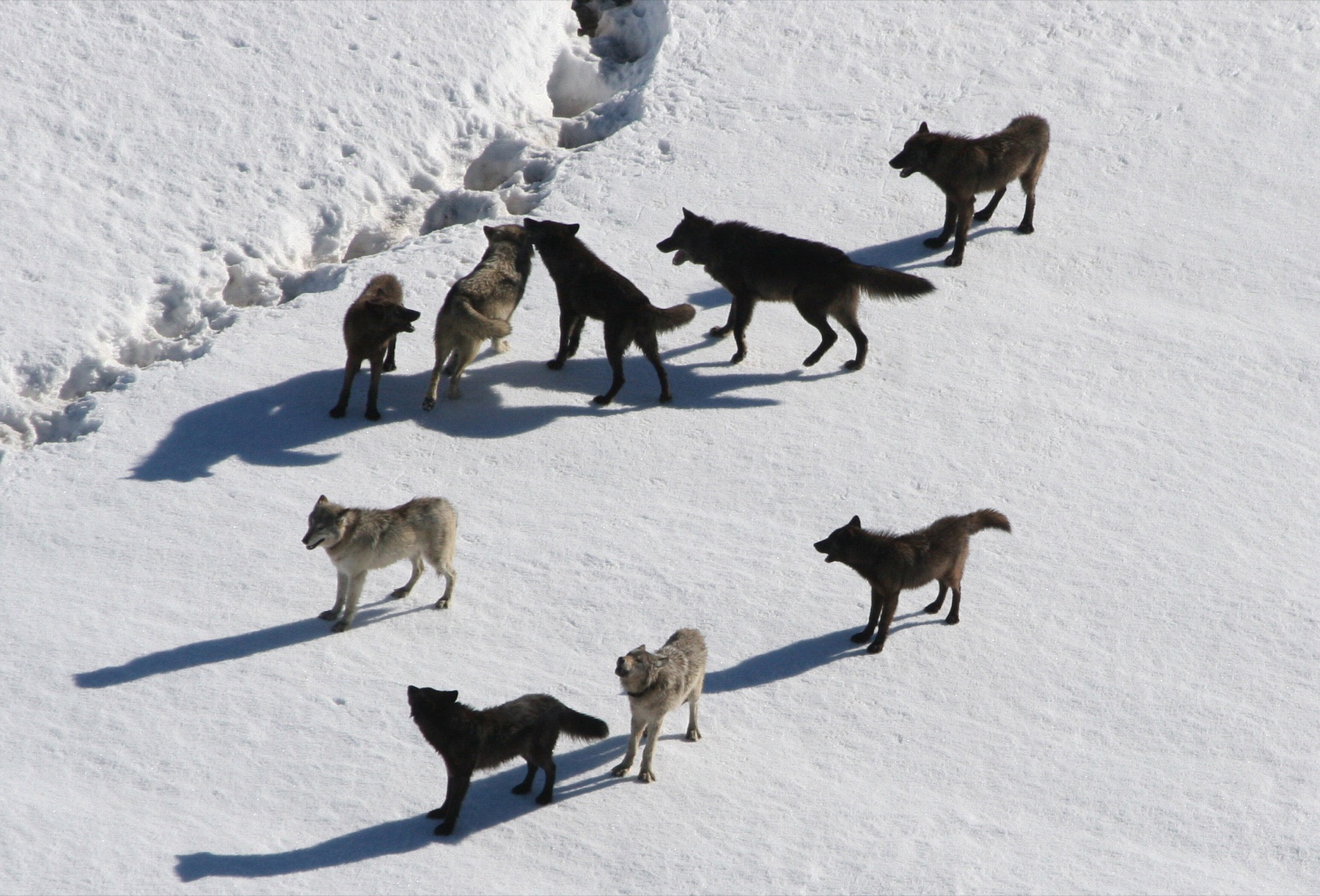
Gray Wolves in Washington
Northeastern Washington · Ferry County · listed endangered at species level in 1978 · Northeast Washington
USFWS treats the gray wolf as a recovered species in much of the West, after listing it as endangered across the contiguous United States in 1978.
- Wildlife & Ecology
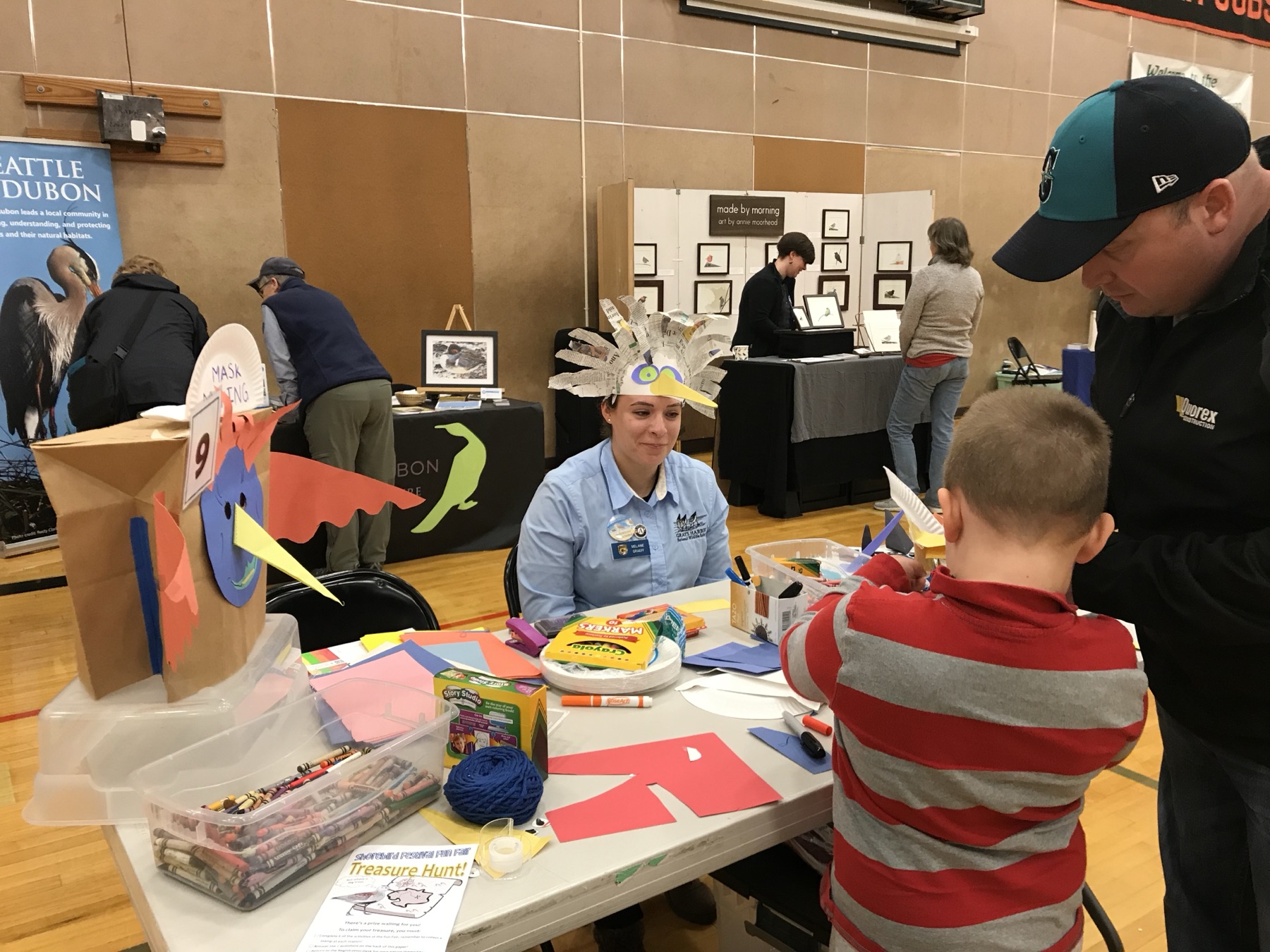
Grays Harbor National Wildlife Refuge
Grays Harbor National Wildlife Refuge · Grays Harbor County · authorized 1988 · Southwest Washington
Two percent of Grays Harbor's intertidal flats can hold up to half the harbor's spring shorebirds, especially western sandpipers and dunlin.
- Wildlife & Ecology
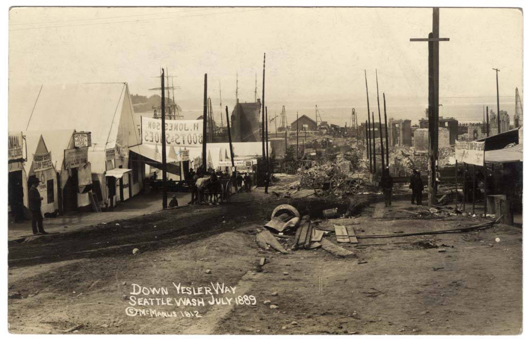
Great Seattle Fire, 1889
Pioneer Square · King County · June 6, 1889 · Puget Sound
A paint-shop fire at Front and Madison on June 6, 1889, burned for 18 hours, leveled 100 acres, and left the city to rebuild within a year.
- History
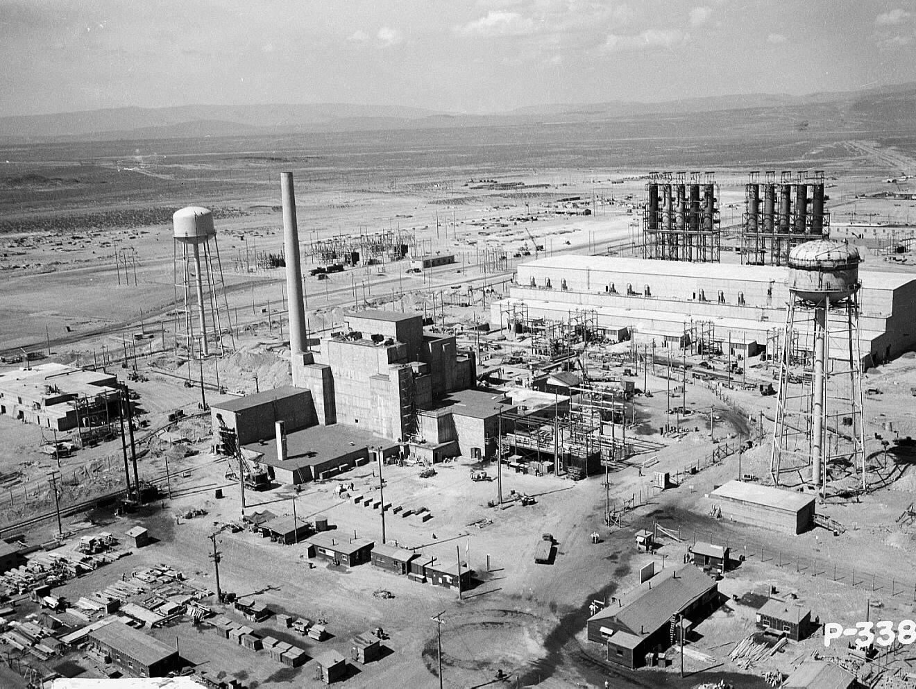
Hanford B Reactor
B Reactor · Benton County · 1943–1968 · Columbia Basin
In eleven months, the Manhattan Project built the world's first full-scale plutonium reactor on the Columbia.
- History
- Science / Strange Washington
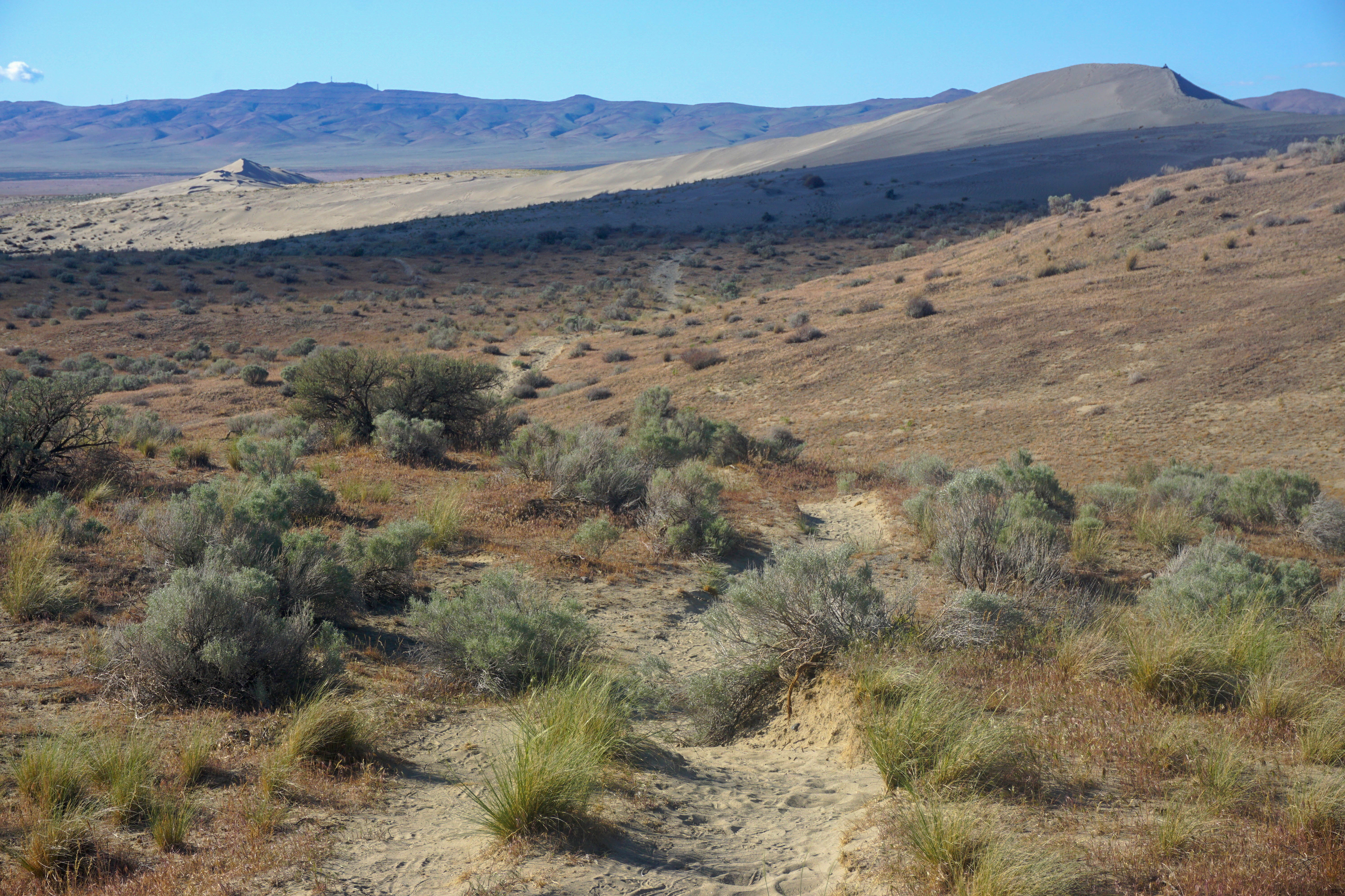
Hanford Reach National Monument
Hanford Reach National Monument · Benton County · 2000 · Columbia Basin
A wartime buffer around the plutonium works left 196,000 acres of shrub-steppe and the last free-flowing stretch of the Columbia above Bonneville.
- Geography & Geology
- Wildlife & Ecology
- History
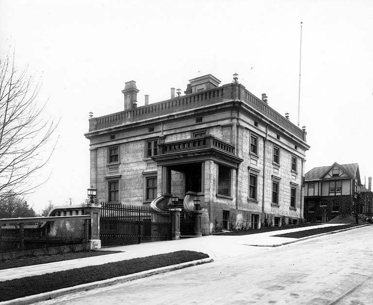
Harvard-Belmont
Capitol Hill · King County · district 1980 · Puget Sound
A 14-block Capitol Hill district of early-1900s estates, later protected after neighbors asked the city to make it a landmark.
- History
- Music & Culture
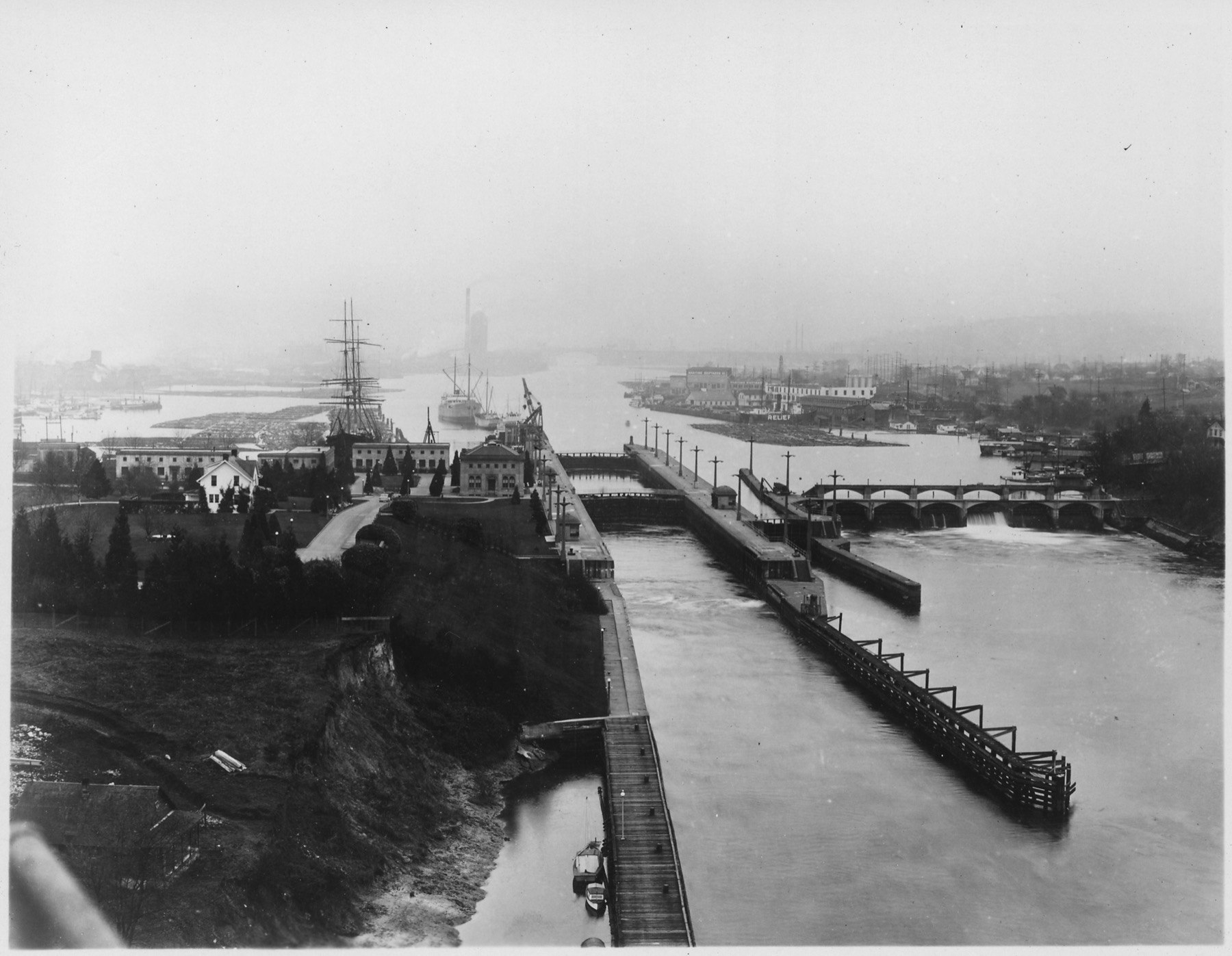
Hiram M. Chittenden Locks
Hiram M. Chittenden Locks · King County · opened 1916–1917 · Puget Sound
Two concrete chambers in Ballard lift ships between Puget Sound and Seattle's lakes — and pass salmon the other way.
- History
- Science / Strange Washington
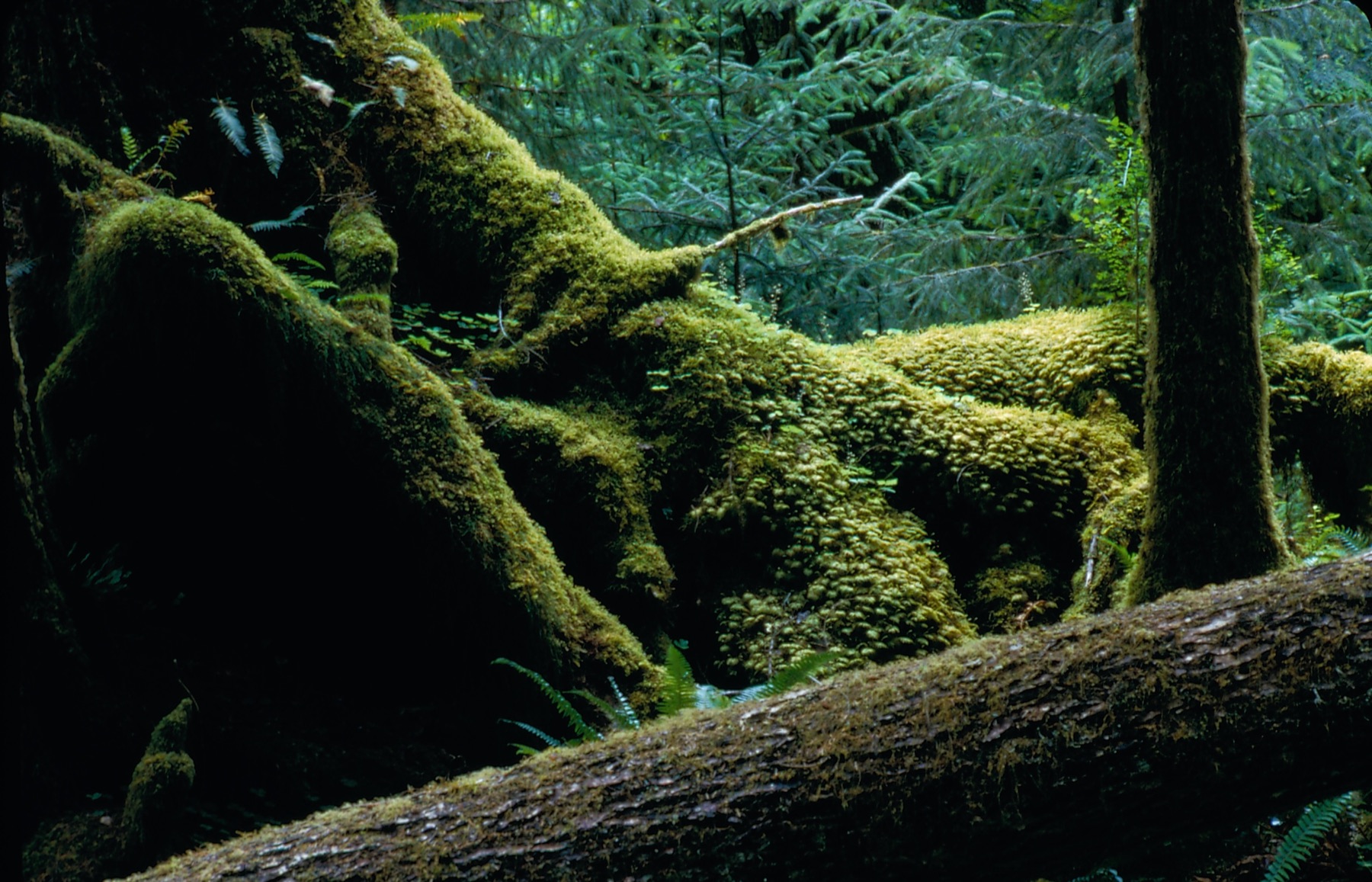
Hoh Rain Forest
Hoh Rain Forest · Jefferson County · Olympic Peninsula
Pacific storms drop 12 to 14 feet of rain a year on one of the last primeval temperate rain forests in the lower 48.
- Geography & Geology
- Wildlife & Ecology
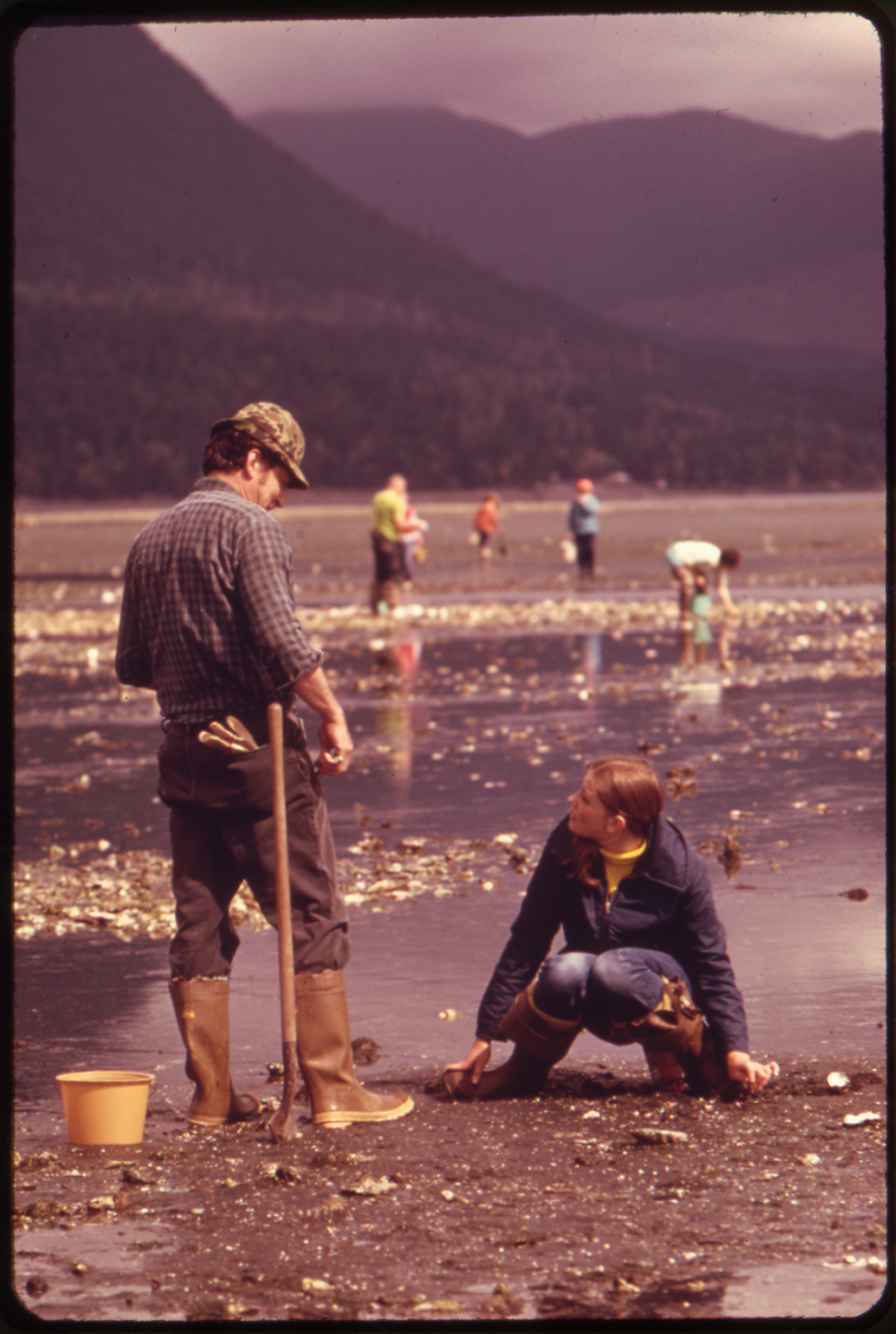
Hood Canal Hypoxia
Skokomish Flats, southern Hood Canal · Mason County · MAPCO2 buoy near Twanoh, August 22, 2009 · Puget Sound
A slow-flushing fjord on the west side of Puget Sound where NOAA says oxygen is characteristically lowest in Lower Hood Canal, and where hypoxia has killed fish.
- Geography & Geology
- Wildlife & Ecology
- Science / Strange Washington
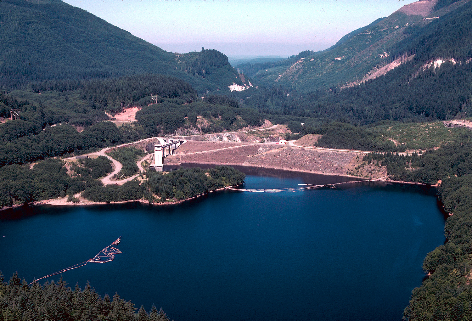
Howard Hanson Dam
Howard Hanson Dam · King County · operational Christmas Day 1961 · Puget Sound
An earth-and-rockfill dam on the Green River, operational Christmas Day 1961, that the Corps credits with about $4.6 billion in damages prevented in the January 2009 flood alone.
- Geography & Geology
- History
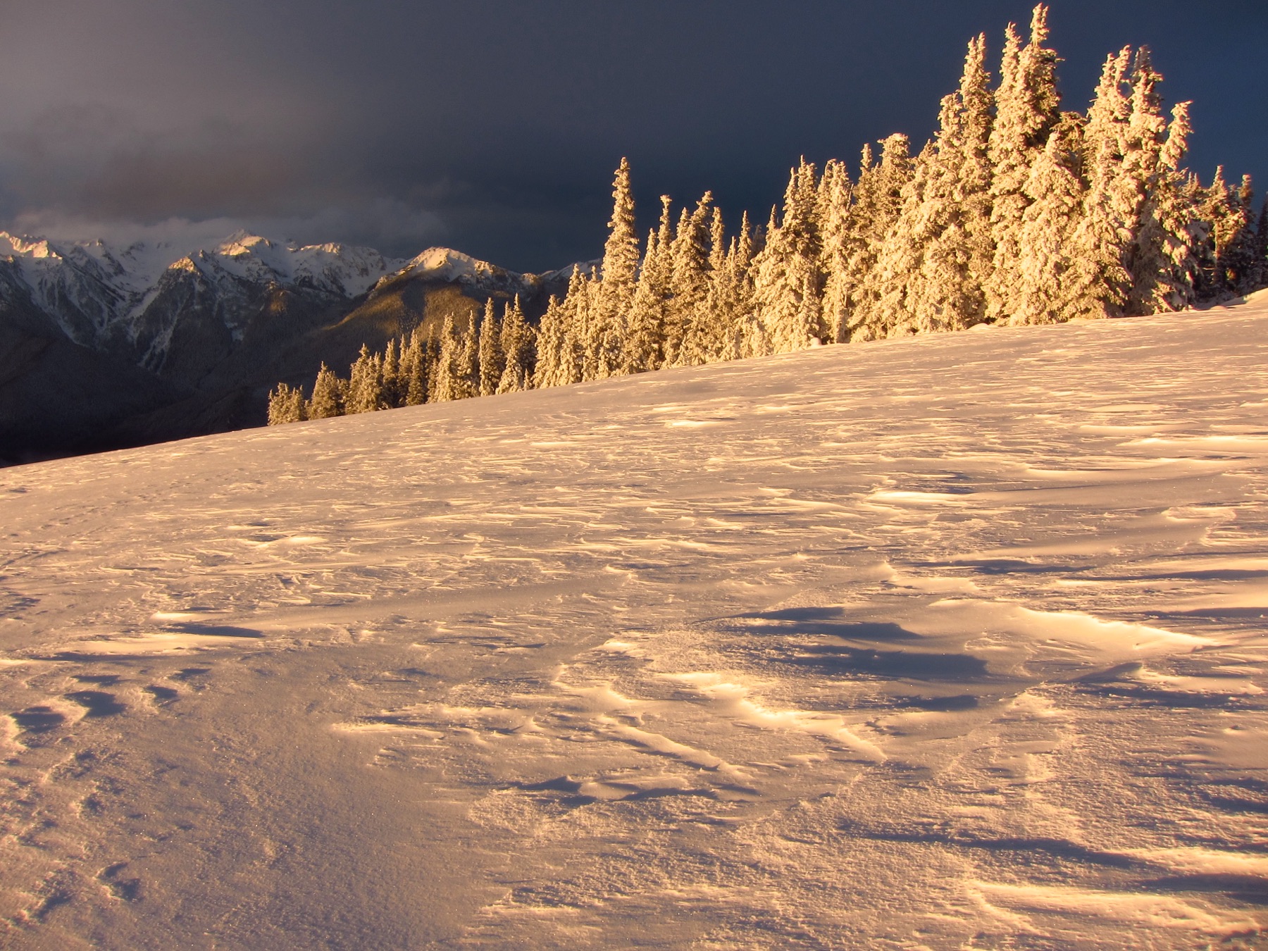
Hurricane Ridge
Hurricane Ridge · Clallam County · Olympic high country · Olympic Peninsula
The most easily reached mountain area in Olympic National Park sits 17 miles south of Port Angeles, with ridgetop trails and winter snow sports when the road is open.
- Geography & Geology
- Wildlife & Ecology
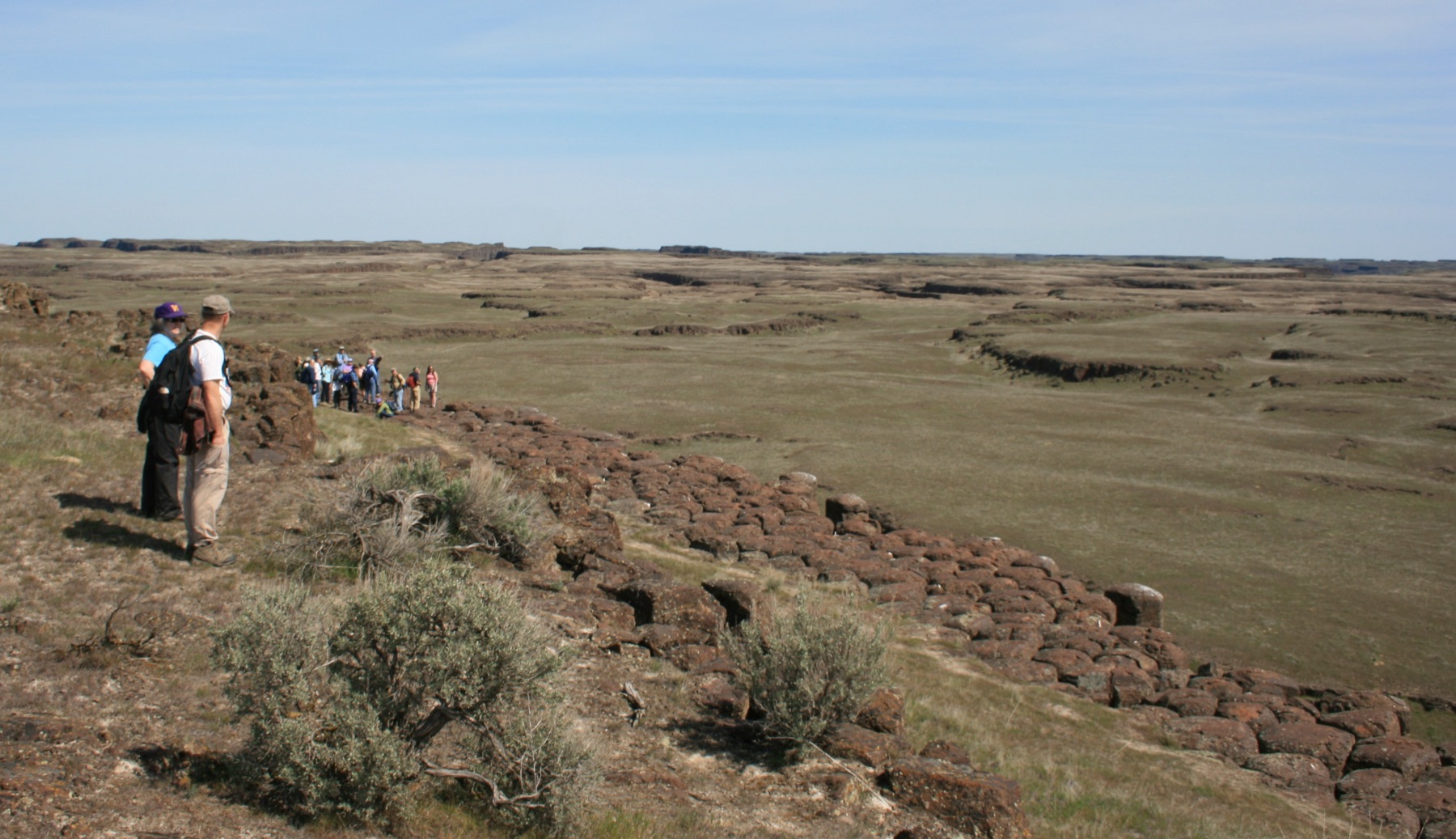
Ice Age Floods
Ice Age Floods National Geologic Trail · Grant County · about 18,000–15,000 years ago · Columbia Basin
NPS says that 18,000 to 15,000 years ago an ice dam in northern Idaho failed, sending Glacial Lake Missoula across Washington and down the Columbia.
- Geography & Geology
- Science / Strange Washington
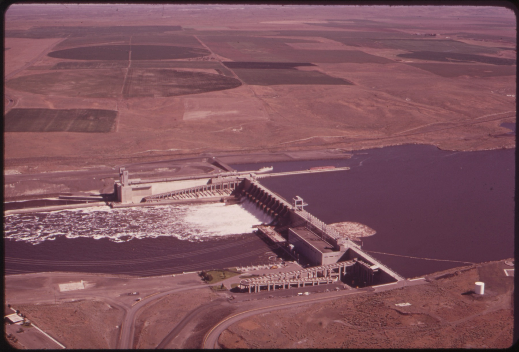
Ice Harbor Dam
Ice Harbor Dam · Franklin County · construction began 1956 · Columbia Basin
The first of four Lower Snake dams sits at river mile 9.7 near Pasco and backs up 32-mile Lake Sacajawea.
- Geography & Geology
- History
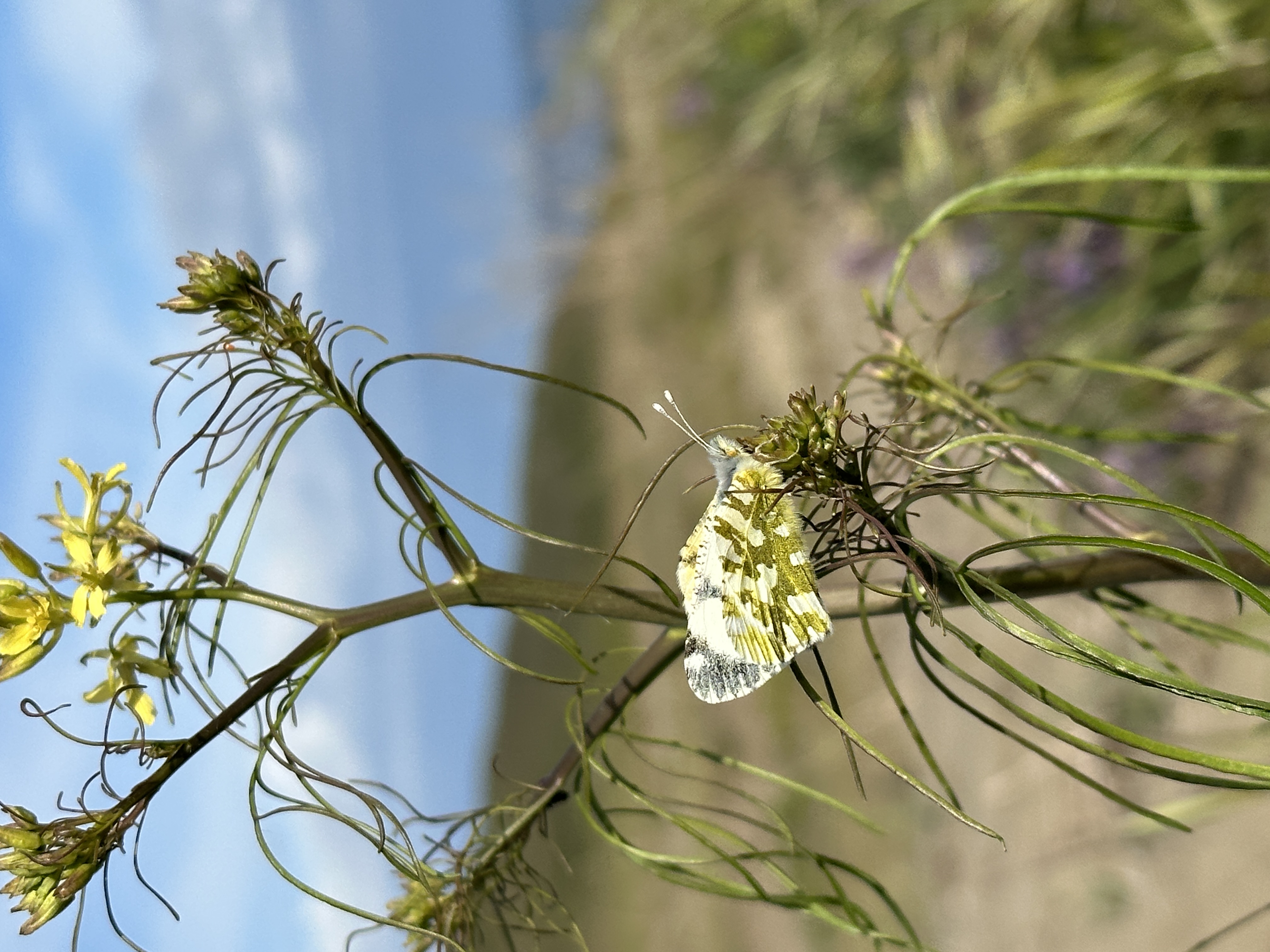
Island Marble Butterfly
American Camp prairie · San Juan County · rediscovered 1998 · San Juan Islands
Thought extinct since 1908, this fuzzy green-and-white butterfly turned up at American Camp in 1998 — and is now federally endangered.
- Wildlife & Ecology
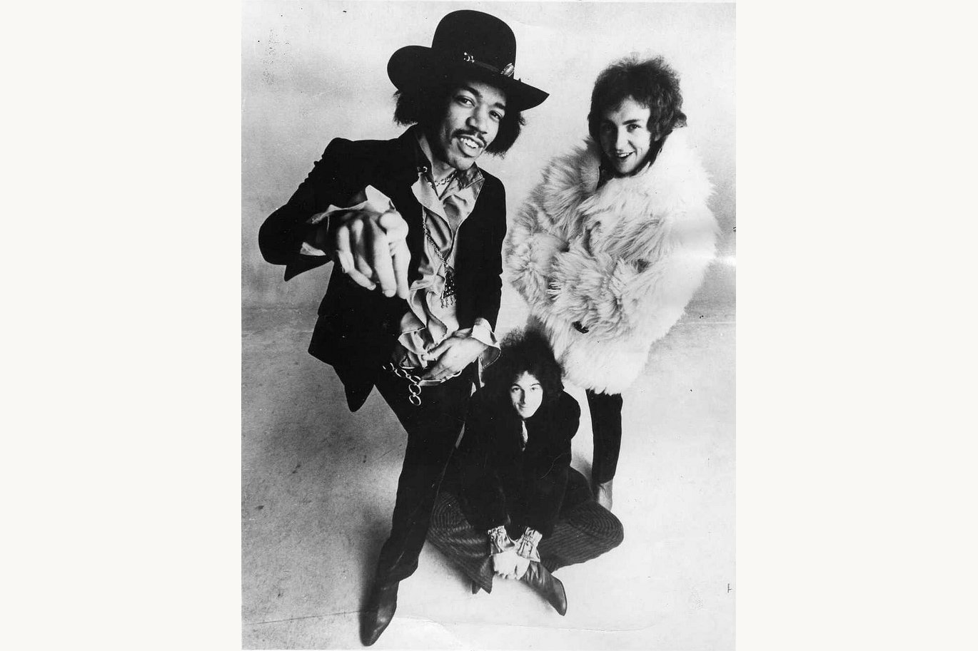
Jimi Hendrix in Seattle
Jimi Hendrix Park · King County · born 1942 · Puget Sound
The guitarist who rewrote rock was born in a Seattle hospital and is remembered in the neighborhood where he grew up.
- Music & Culture
- Pop Culture
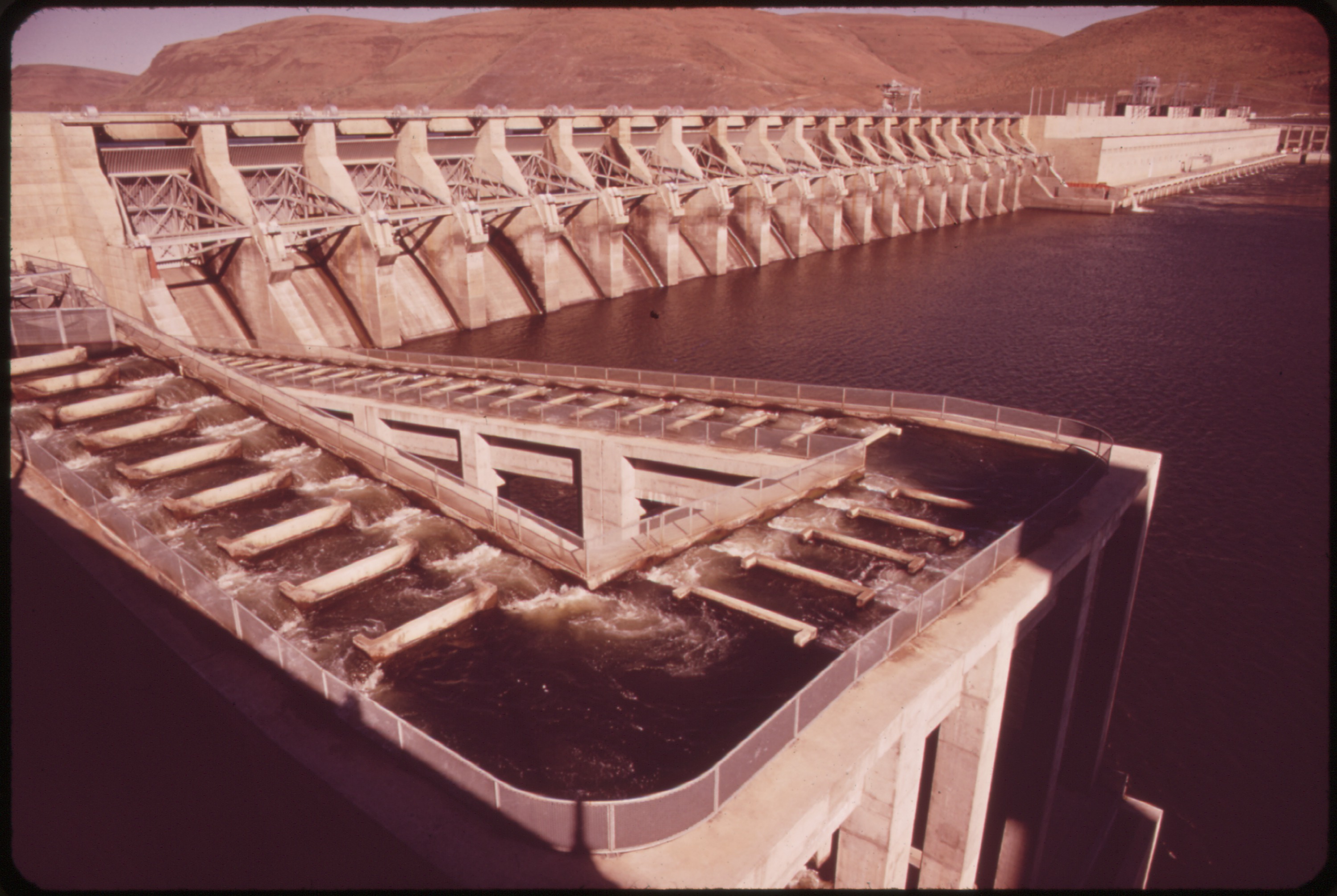
John Day Dam
John Day Dam · Klickitat County · Flood Control Act of 1950 · Columbia Gorge
Sixteen turbine units and a 110-foot lock sit on the Columbia at river mile 215, backing up Lake Umatilla.
- Geography & Geology
- History
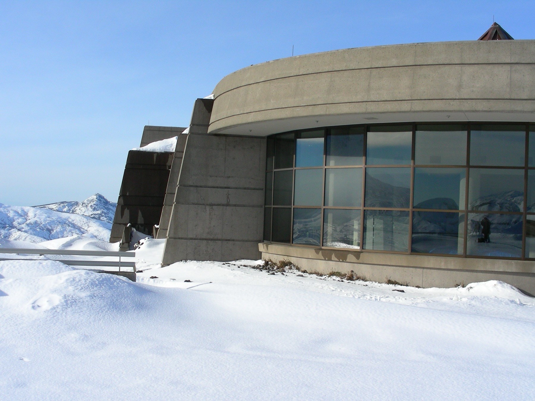
Johnston Ridge Observatory
Johnston Ridge Observatory · Cowlitz County · named for David Johnston, May 18, 1980 · Cascades
The observatory sits in the center of the 1980 blast zone, about 5 miles north of the crater, and is named for the USGS volcanologist who died on duty that morning.
- Geography & Geology
- History
- Science / Strange Washington
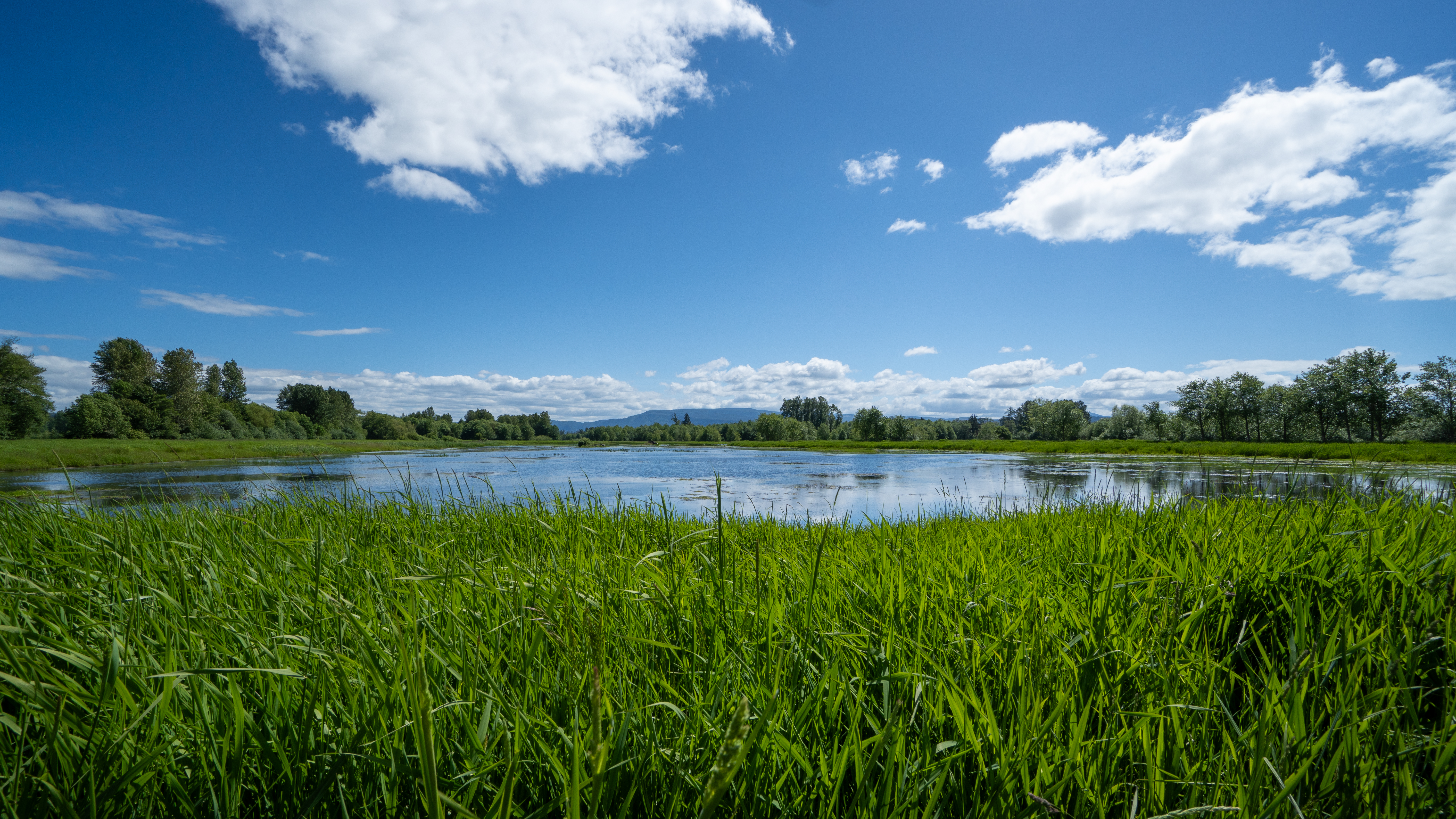
Julia Butler Hansen Refuge
Julia Butler Hansen Refuge · Wahkiakum County · December 1971 · Columbia River
A 1971 refuge on the lower Columbia was set aside for a deer that had nearly vanished, then renamed for Washington's first Democratic congresswoman.
- Wildlife & Ecology
- History
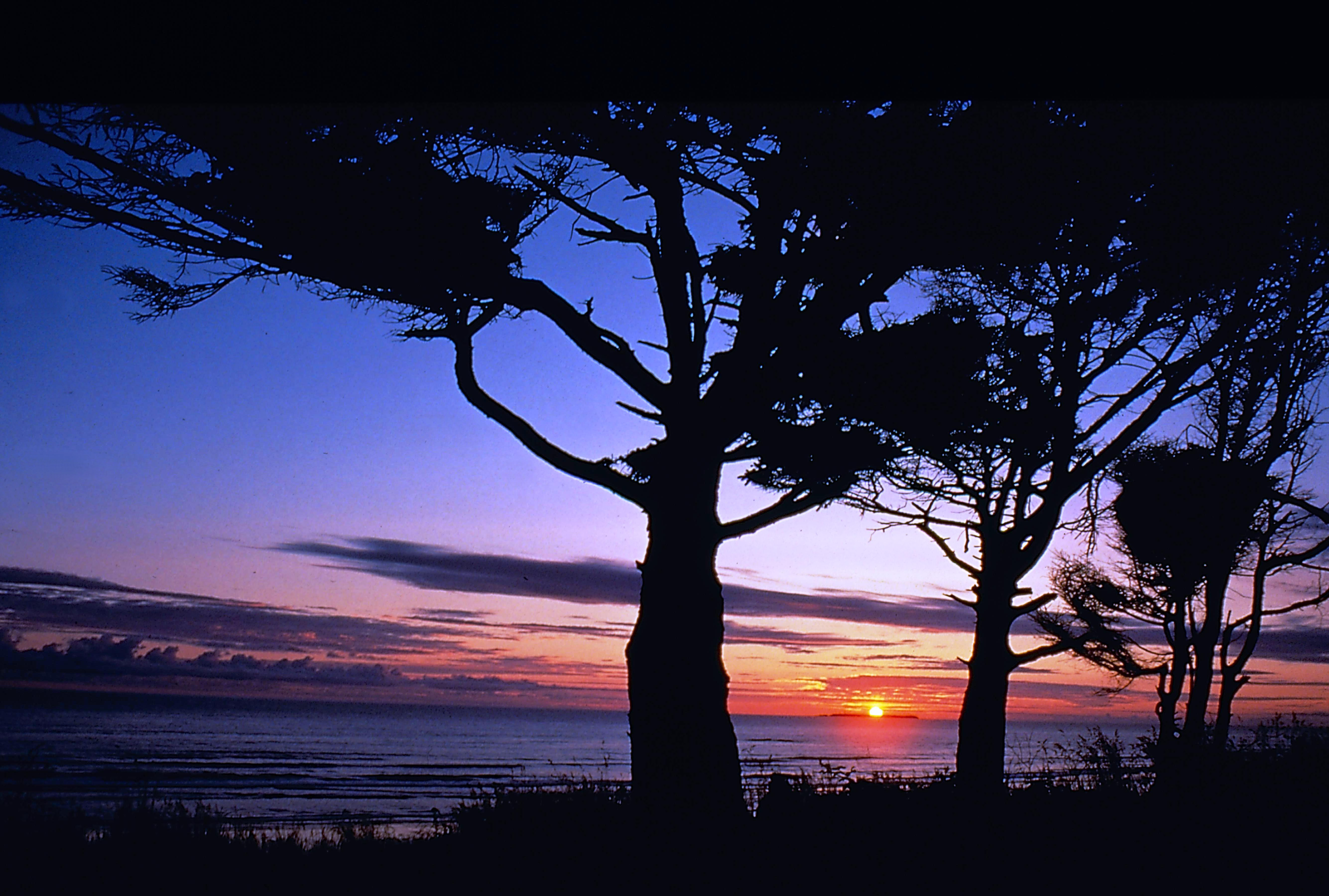
Kalaloch
Kalaloch · Jefferson County · Olympic Coast
One of the most visited stretches of Olympic National Park sits right on Highway 101, with seven beach trails and a year-round campground on the bluff.
- Geography & Geology
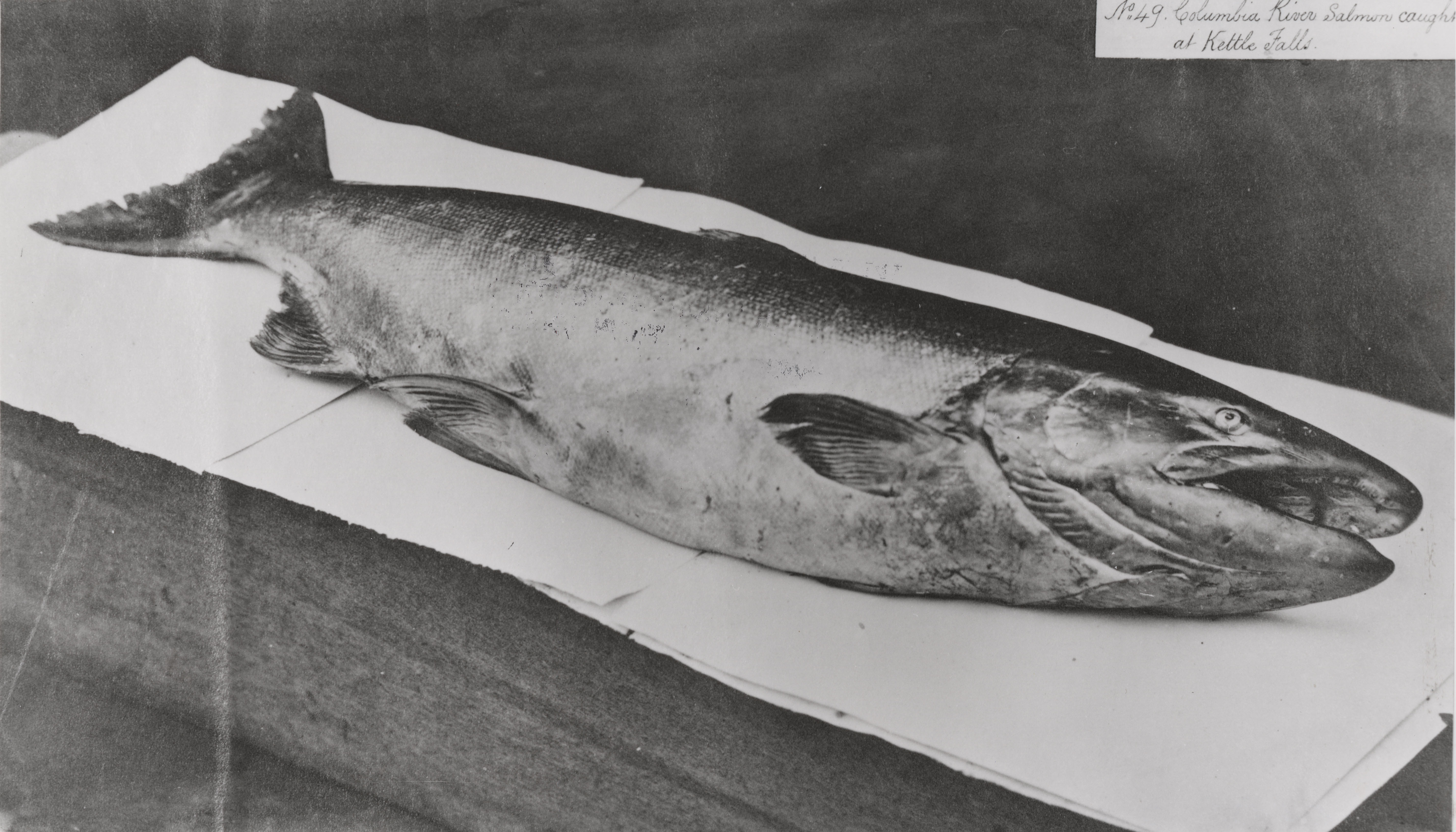
Kettle Falls Fishery
Kettle Falls · Stevens County · falls submerged after Grand Coulee, 1941 · Columbia Basin
NPS calls the drowned falls an inland-Northwest center for more than 9,000 years. Tribes speared and netted thousands of salmon—enough, the park says, for half a year’s diet.
- History
- Indigenous History & Place
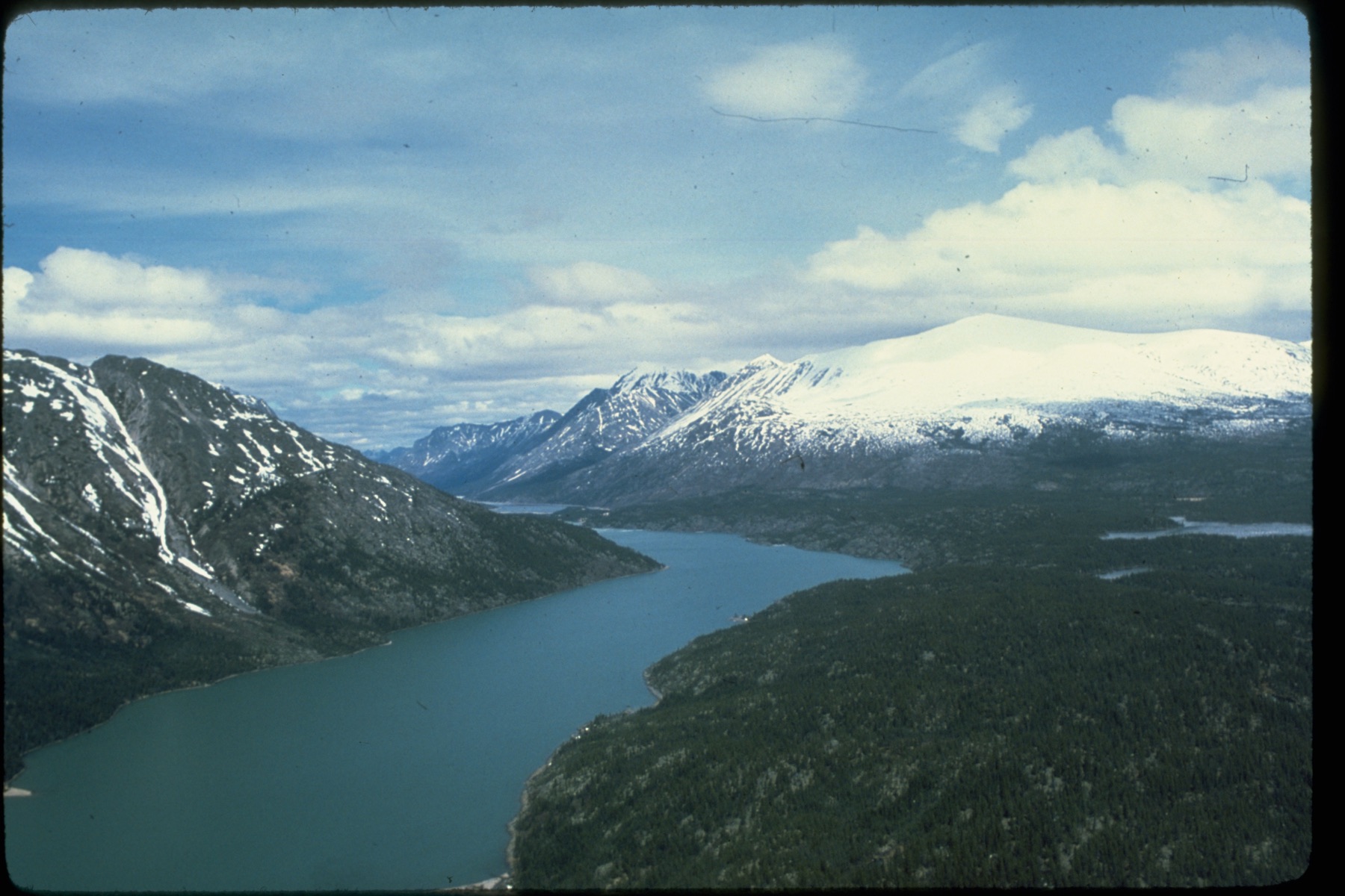
Lake Chelan
Lake Chelan · Chelan County · glacial lake · North Cascades
NPS calls this the third-deepest lake in the United States, a long glacial trench that ends at the roadless village of Stehekin.
- Geography & Geology
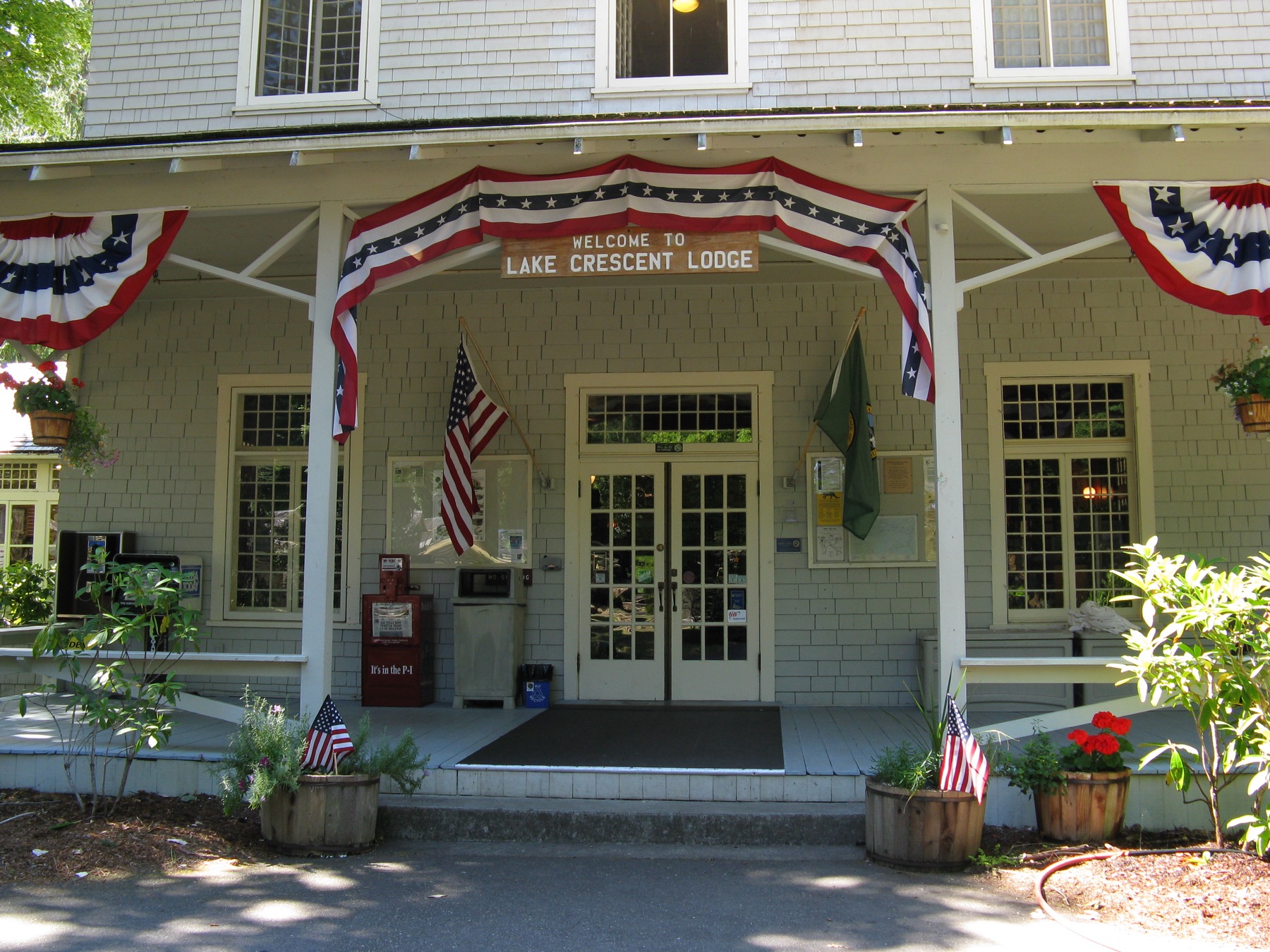
Lake Crescent
Lake Crescent · Clallam County · landslide about 7,000 years ago · Olympic Peninsula
A glacially carved lake 624 feet deep is so low in nitrogen that NPS says you can see 60 feet down, and it holds two trout found nowhere else.
- Geography & Geology
- Wildlife & Ecology
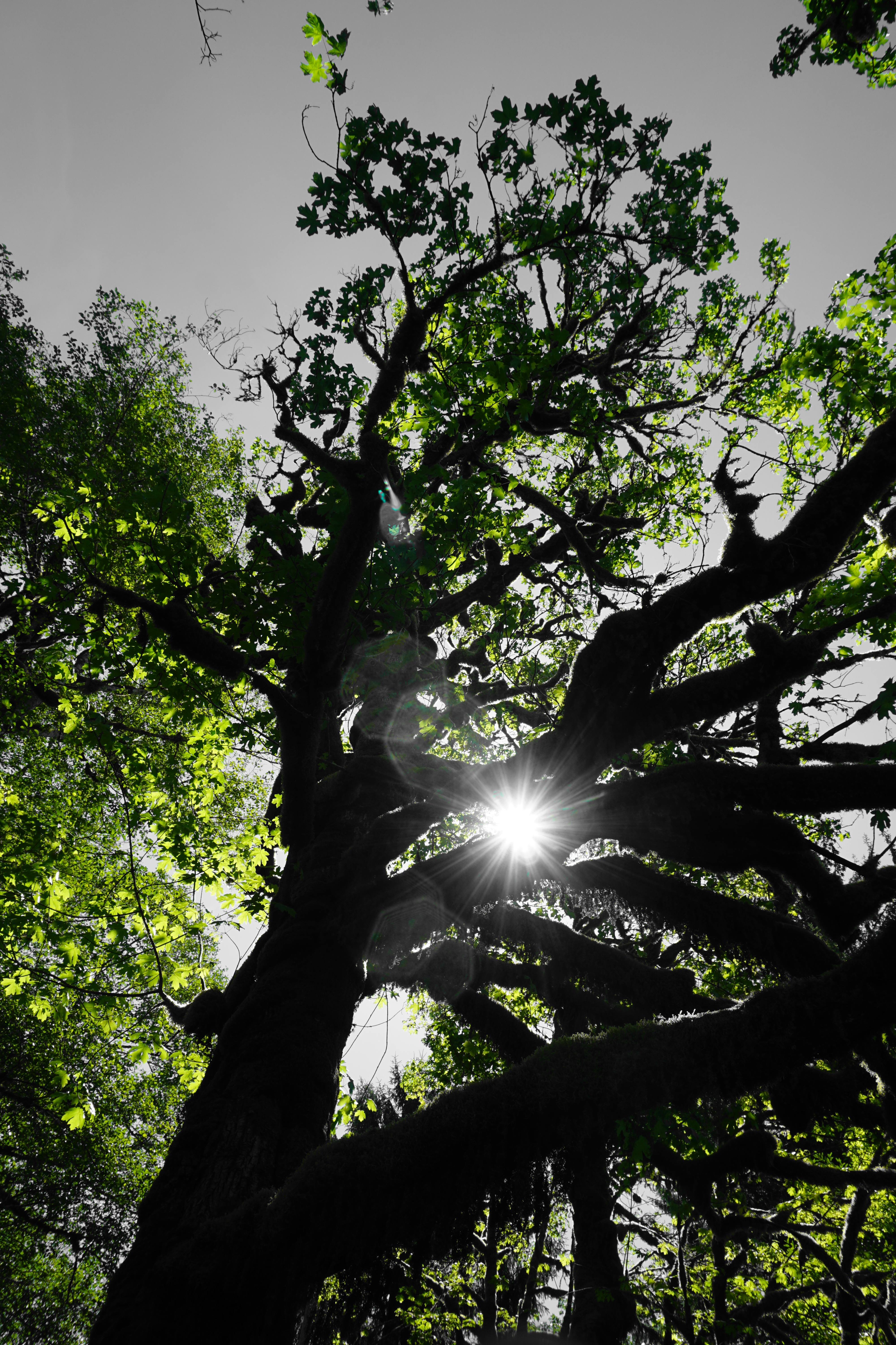
Lake Quinault
Lake Quinault · Grays Harbor County · Olympic Peninsula
Olympic's west-side valleys take more than 12 feet of rain a year, and Quinault's north shore is in the park while the south shore is National Forest.
- Geography & Geology
- Indigenous History & Place
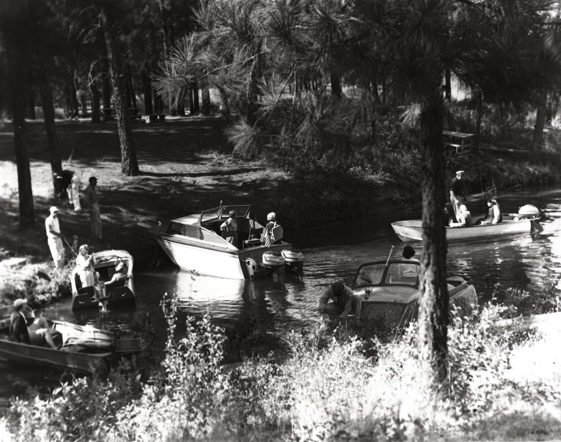
Lake Roosevelt
Lake Roosevelt · Lincoln County · reservoir completed 1941 · Columbia Basin
The reservoir behind Grand Coulee Dam is officially Franklin D. Roosevelt Lake, a long pool NPS says is the largest reservoir in the Pacific Northwest.
- Geography & Geology
- History
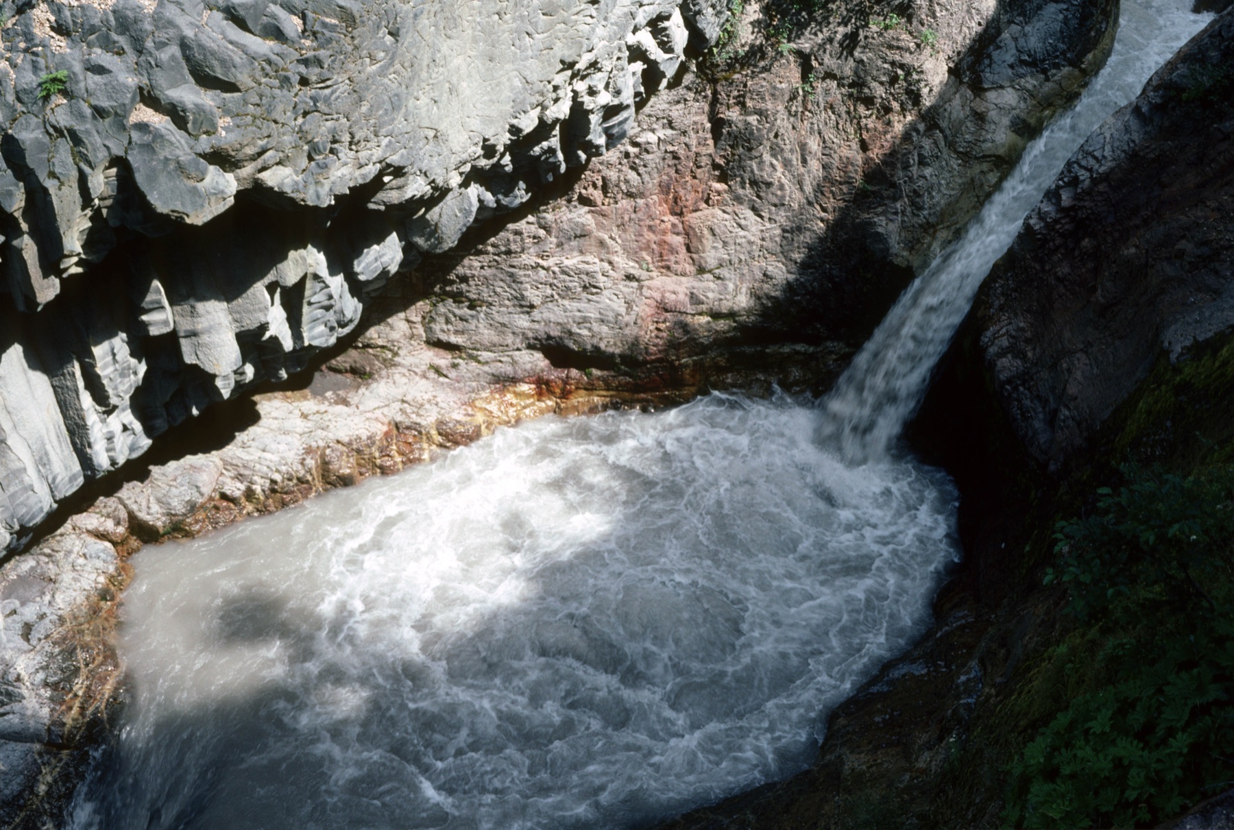
Lava Canyon
Lava Canyon Interpretive Site · Skamania County · mudflow-scoured canyon · South Cascades
A mudflow-scoured canyon on the southeast side of Mount St. Helens drops a waterfall over ancient lava, with a trail that the Forest Service warns is not for going off-trail.
- Geography & Geology
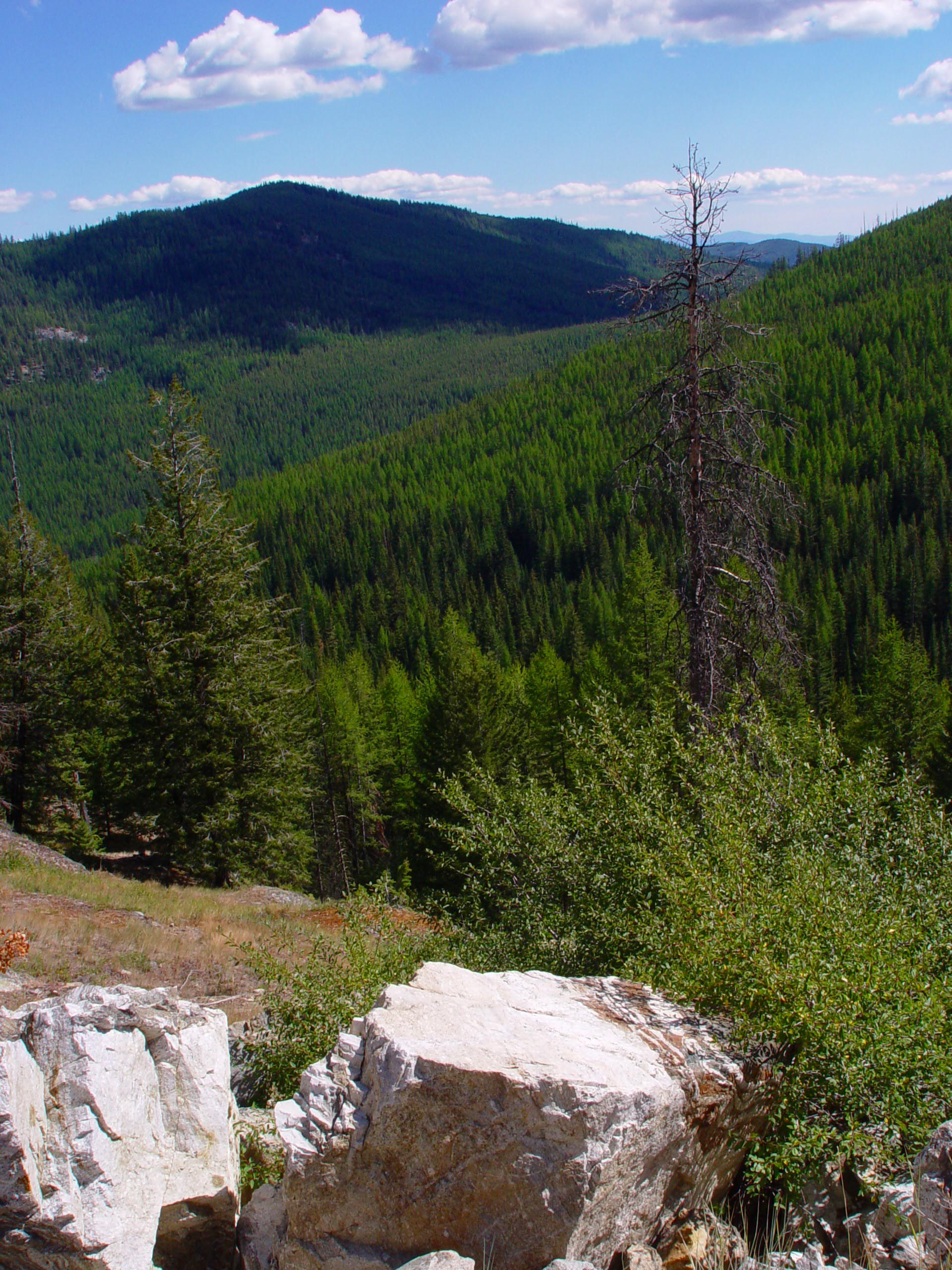
Little Pend Oreille National Wildlife Refuge
Little Pend Oreille National Wildlife Refuge · Stevens County · Northeast Washington
The only mountainous mixed-conifer refuge in the National Wildlife Refuge System rises from 1,800 to 5,600 feet southeast of Colville.
- Wildlife & Ecology
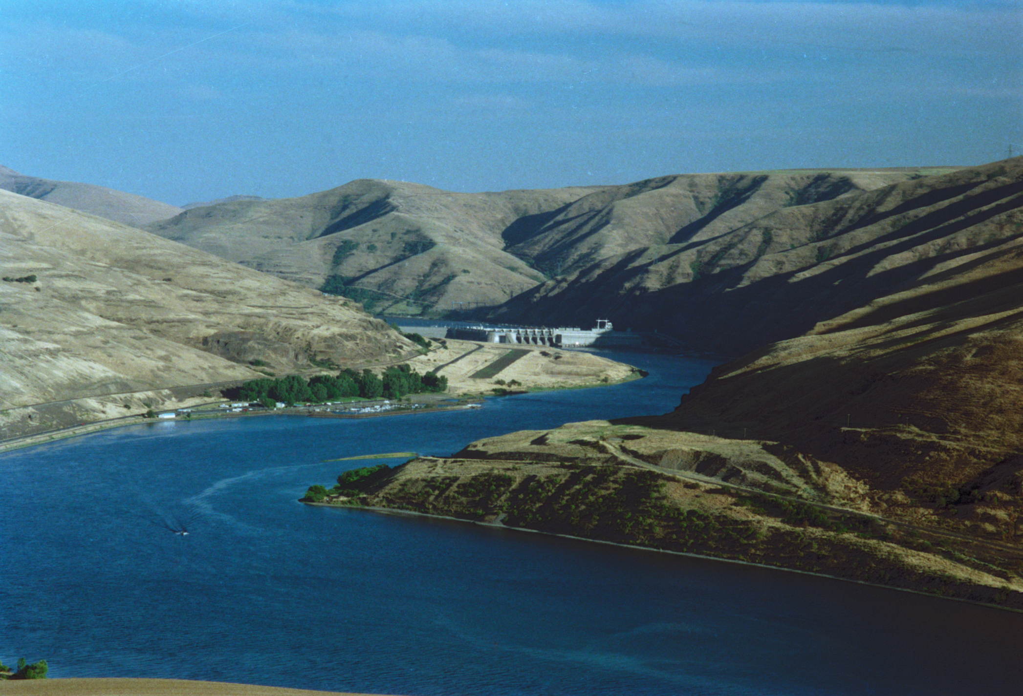
Lower Granite Dam
Lower Granite Dam · Garfield County · construction began 1965 · Columbia Basin
The last of the four Lower Snake dams is 3,200 feet long. Lake Lower Granite backs water 40 miles up to Lewiston.
- Geography & Geology
- History
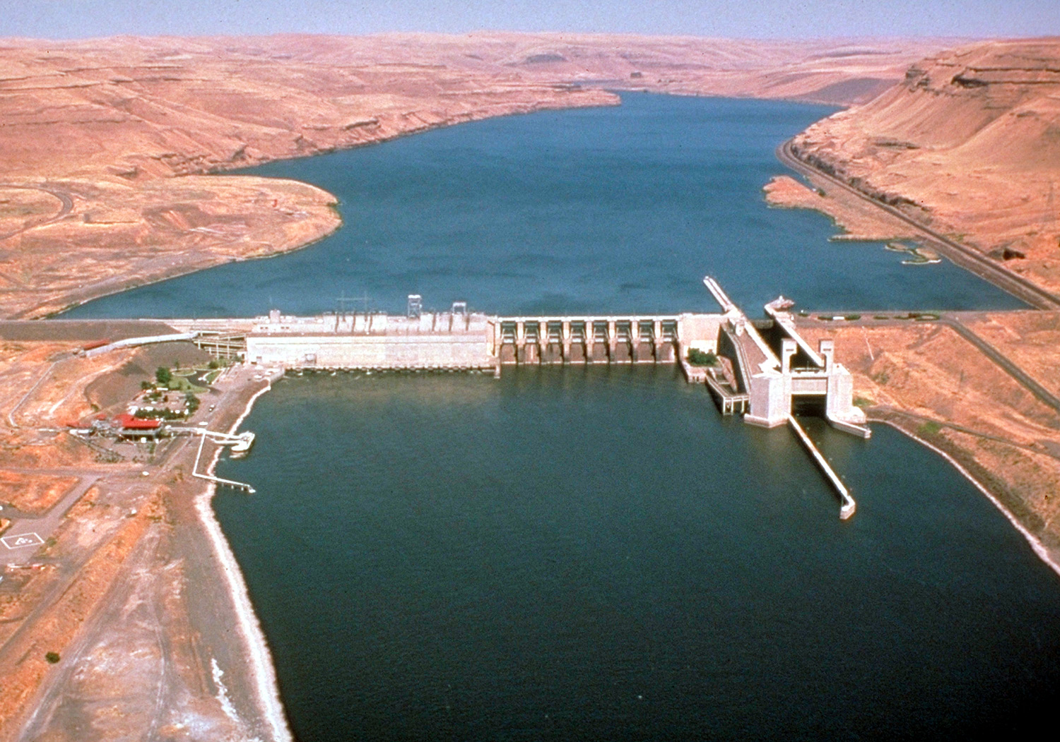
Lower Monumental Dam
Lower Monumental Dam · Walla Walla County · construction began 1961 · Columbia Basin
The second Lower Snake dam is 3,791 feet long at river mile 41.6 near Kahlotus. Lake West runs 28 miles up to Little Goose.
- Geography & Geology
- History
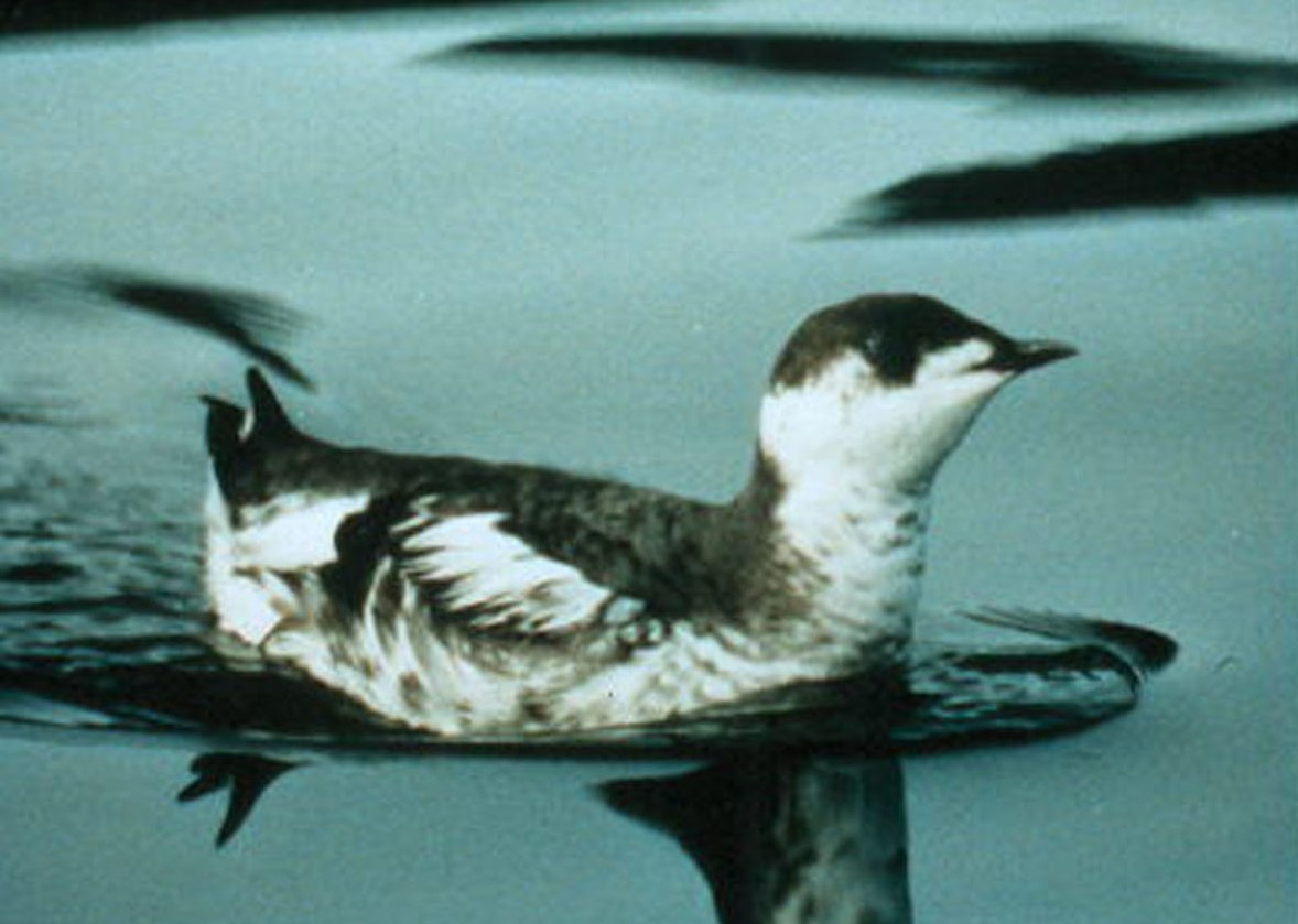
Marbled Murrelet
Olympic coast forests · Jefferson County · listed threatened October 1, 1992 · Olympic Peninsula
A robin-sized seabird that fishes the nearshore and nests up to 53 miles inland on mossy old-growth limbs.
- Wildlife & Ecology
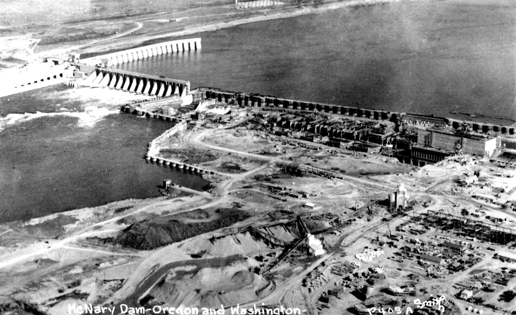
McNary Dam
McNary Dam · Benton County · construction began 1947 · Columbia River
The Corps places this Columbia River dam at Umatilla, Washington, river mile 292, with a 64-mile reservoir that reaches Hanford.
- Geography & Geology
- History
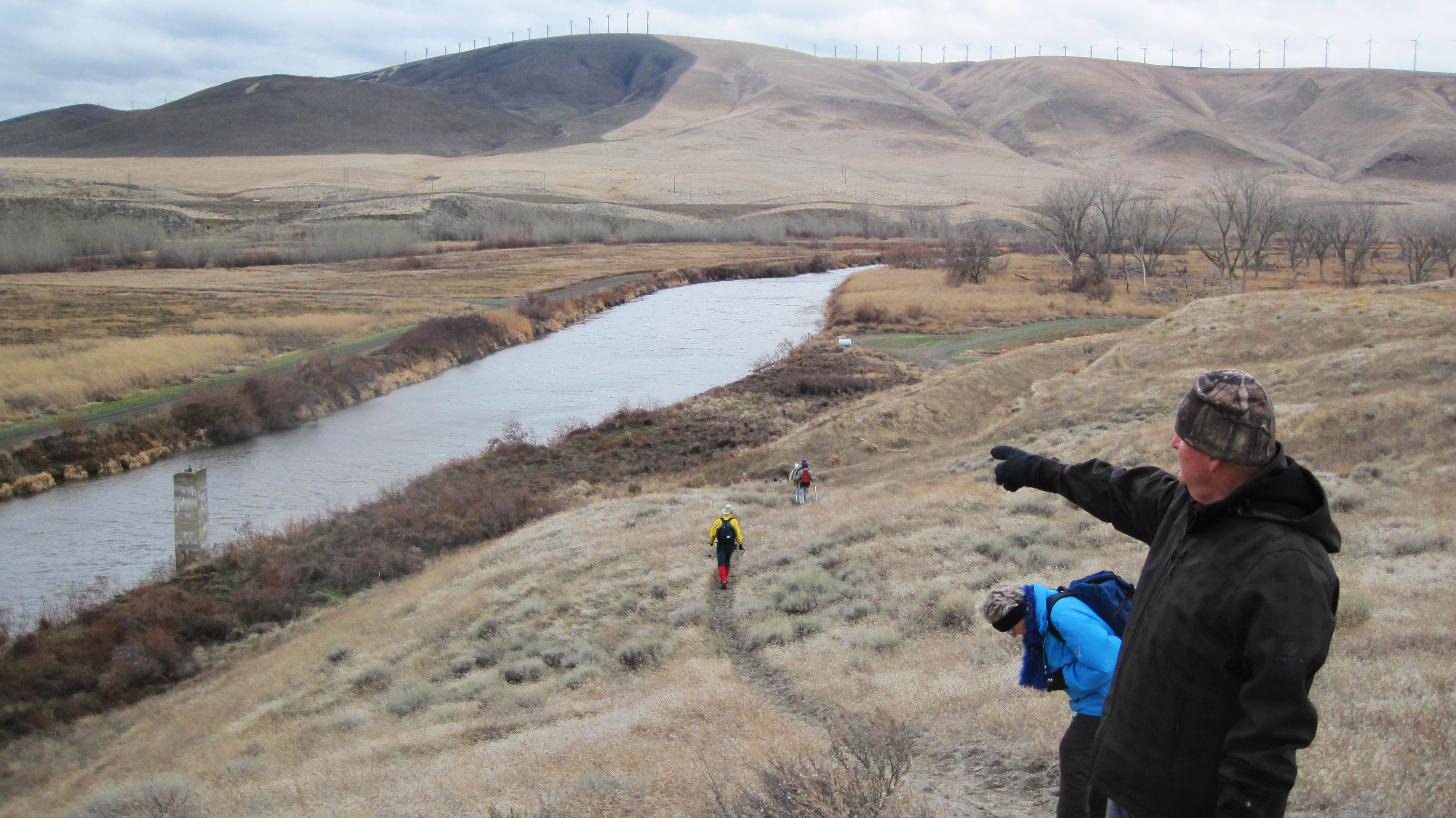
McNary National Wildlife Refuge
McNary National Wildlife Refuge · Walla Walla County · 1956 · Columbia Basin
Fifteen thousand acres of sloughs and shrub-steppe were set aside in 1956 to replace habitat the dam drowned. More than half the Pacific Flyway's mallards winter in this basin.
- Wildlife & Ecology
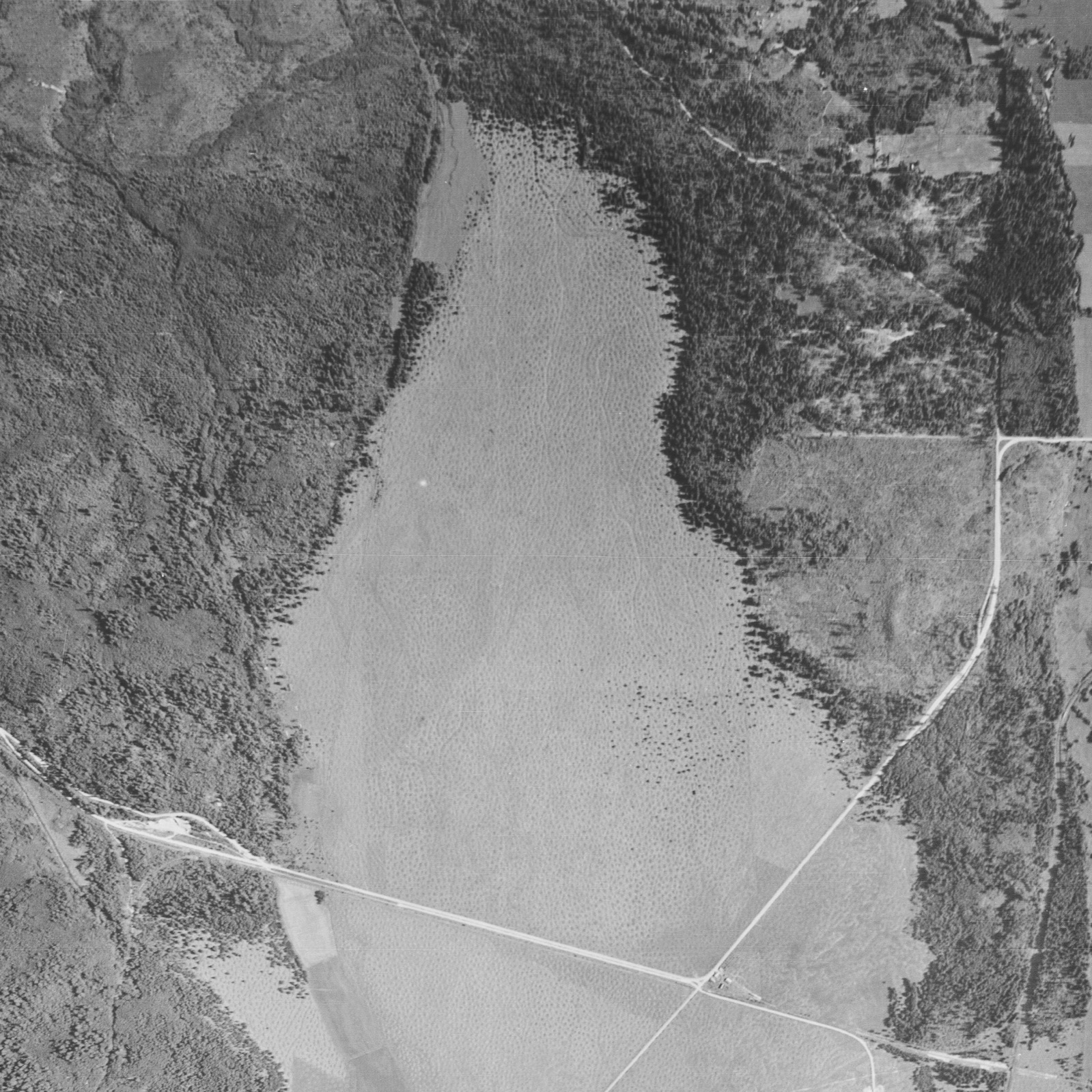
Mima Mounds
Mima Prairie · Thurston County · Natural Area Preserve established 1976 · Puget Sound
A Thurston County prairie of unexplained soil hills that DNR set aside in 1976, and that NPS named a National Natural Landmark in 1966.
- Geography & Geology
- Wildlife & Ecology
- Science / Strange Washington
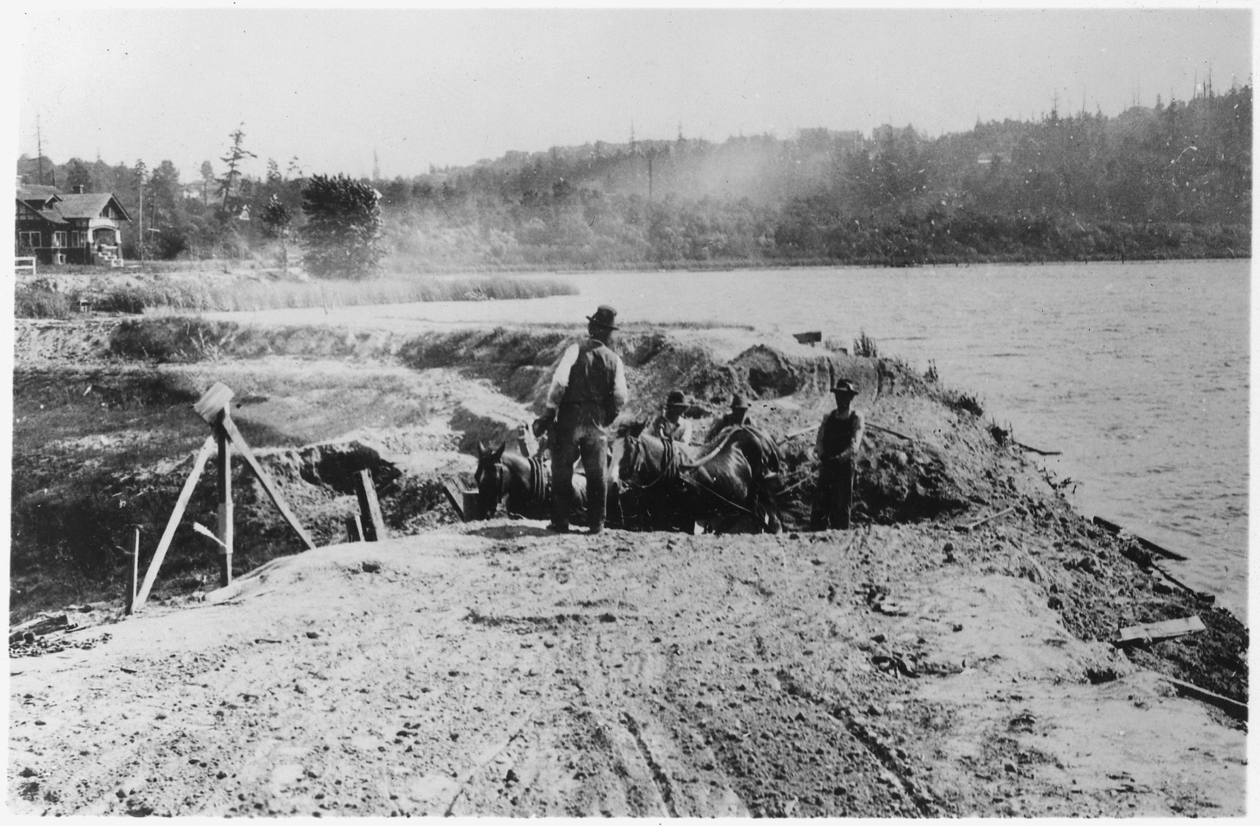
Montlake Cut
Montlake Cut · King County · Montlake Cut opened May 8, 1917 · Puget Sound
The last cut of the Lake Washington Ship Canal opened on May 8, 1917, a 100-foot channel through Montlake that still joins the lakes to the locks.
- History
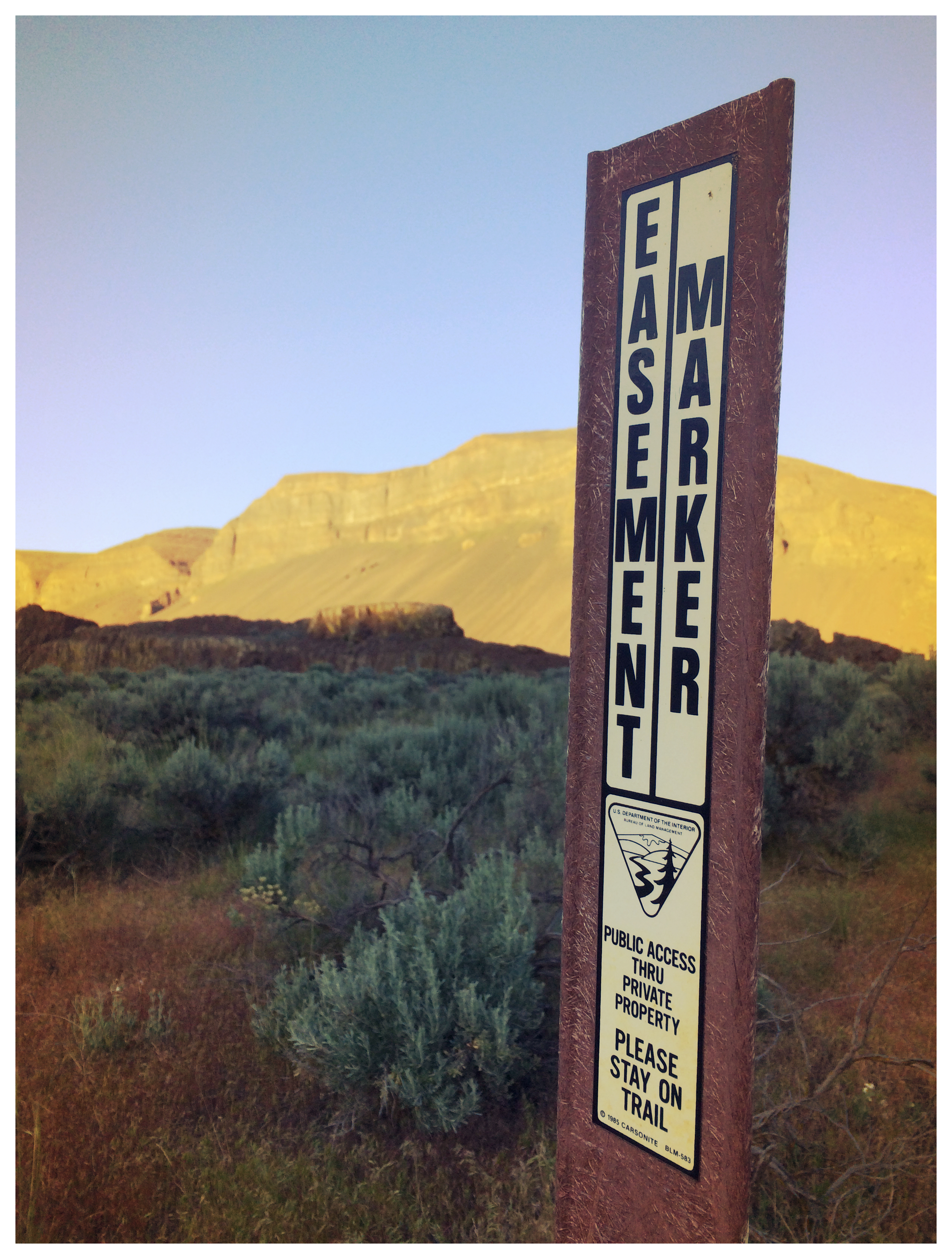
Moses Coulee Gravel Bar
Great Gravel Bar of Moses Coulee · Douglas County · Ice Age floods · Columbia Basin
A teardrop of pebble-cobble gravel 3.2 miles long and 240 feet high — perhaps the largest flood bar in the Channeled Scabland.
- Geography & Geology
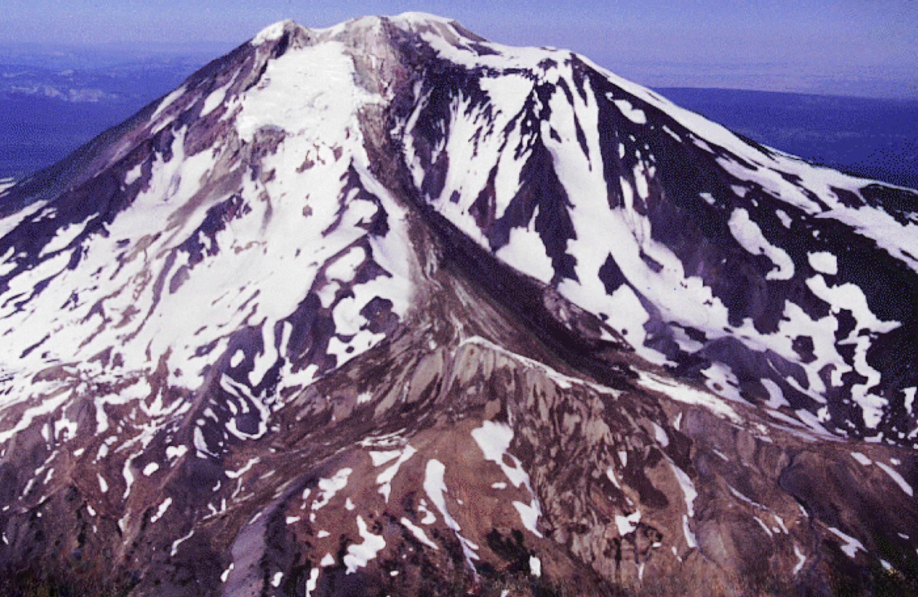
Mount Adams
Mount Adams · Yakima County · last eruption 3,800 years ago · Cascades
Washington's largest active volcano has produced more eruptive material in the past million years than any Cascade stratovolcano except Mount Shasta.
- Geography & Geology
- Science / Strange Washington
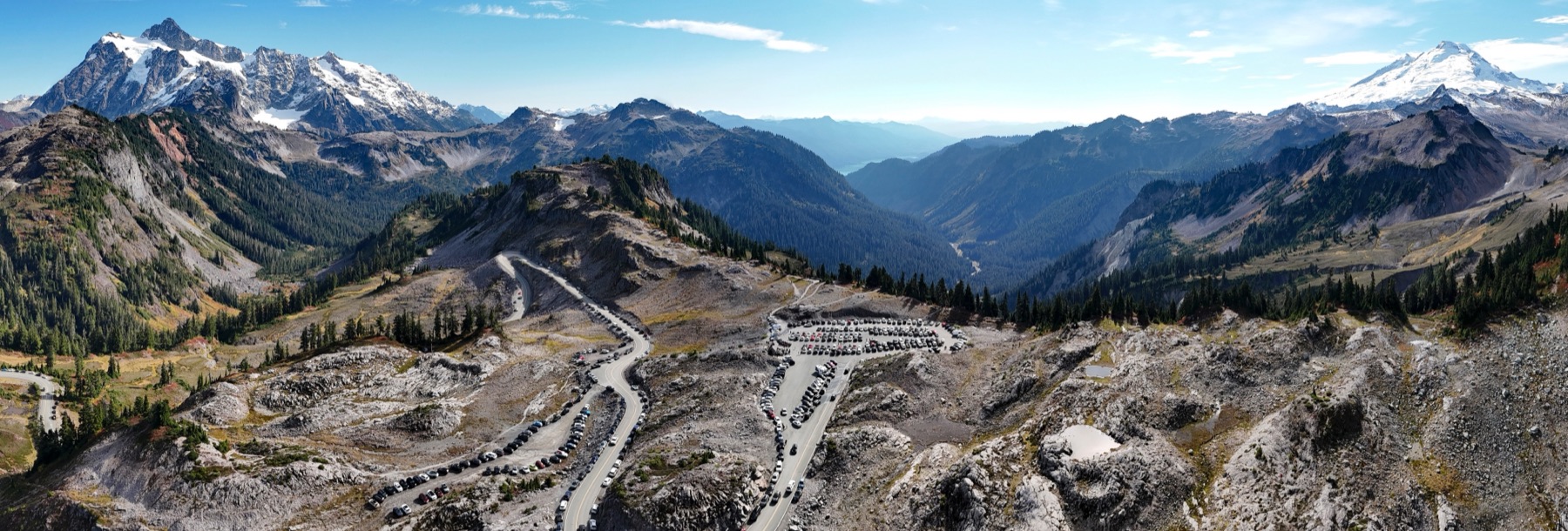
Mount Baker
Mount Baker · Whatcom County · last major eruption about 6,700 years ago · North Cascades
The highest peak in the North Cascades is also the northernmost volcano in the Lower 48, and it last erupted about 6,700 years ago.
- Geography & Geology
- Science / Strange Washington
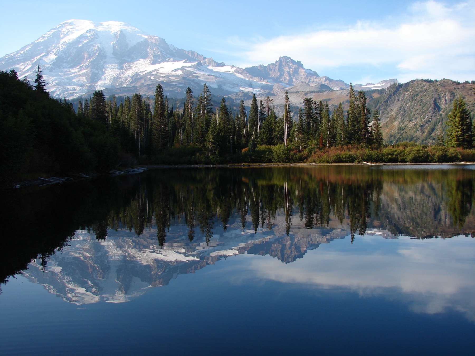
Mount Rainier
Mount Rainier · Pierce County · last eruption about 1,000 years ago · Cascades
The highest Cascade peak is also the most threatening volcano in the range — not for lava, but for mud.
- Geography & Geology
- Science / Strange Washington
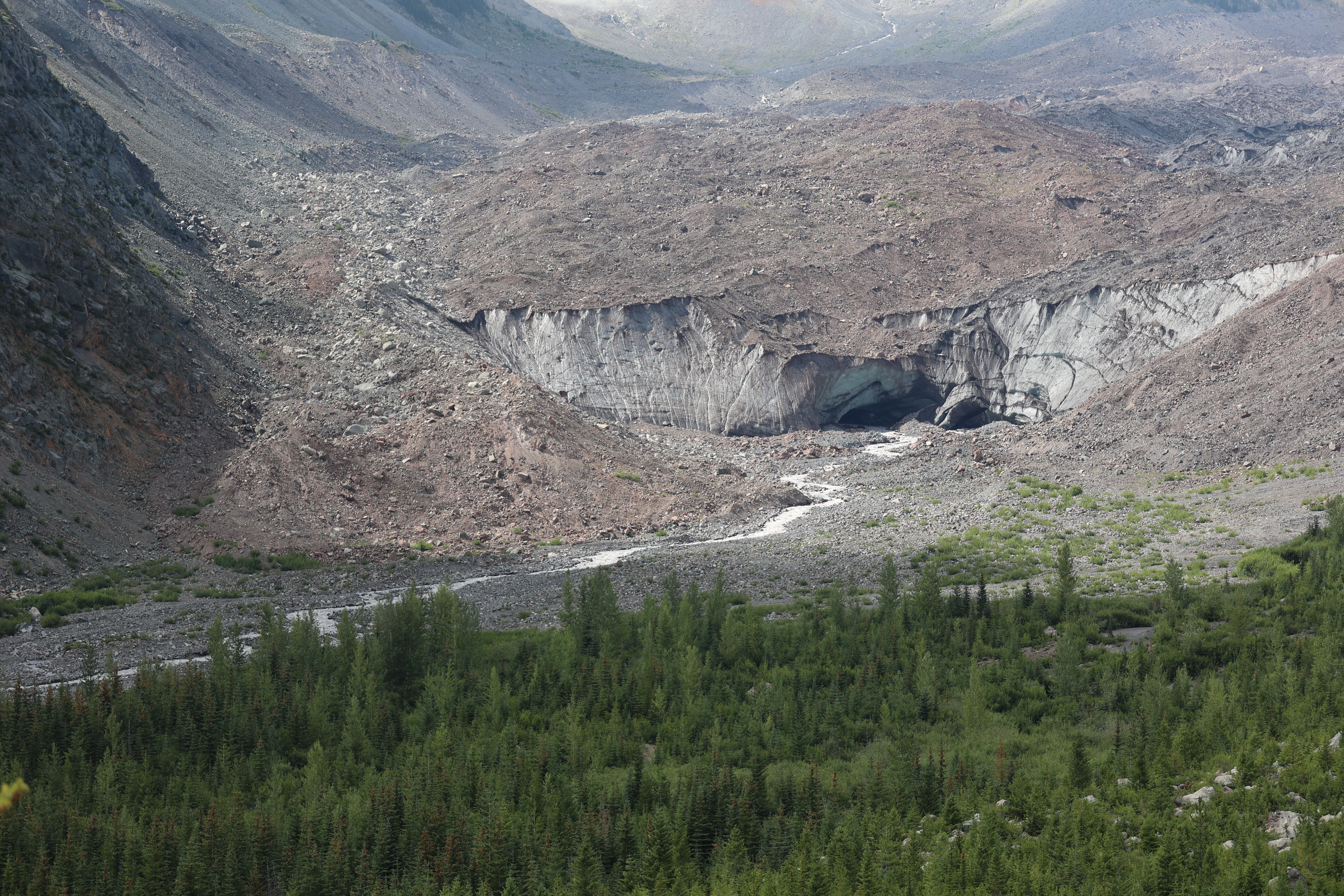
Mount Rainier Glaciers
Emmons Glacier · Pierce County · northeast collapse about 5,600 years ago · Cascades
Twenty-eight major glaciers cover about 30 square miles of the mountain. Emmons is the largest in the Lower 48; Carbon ends the lowest.
- Geography & Geology
- Science / Strange Washington
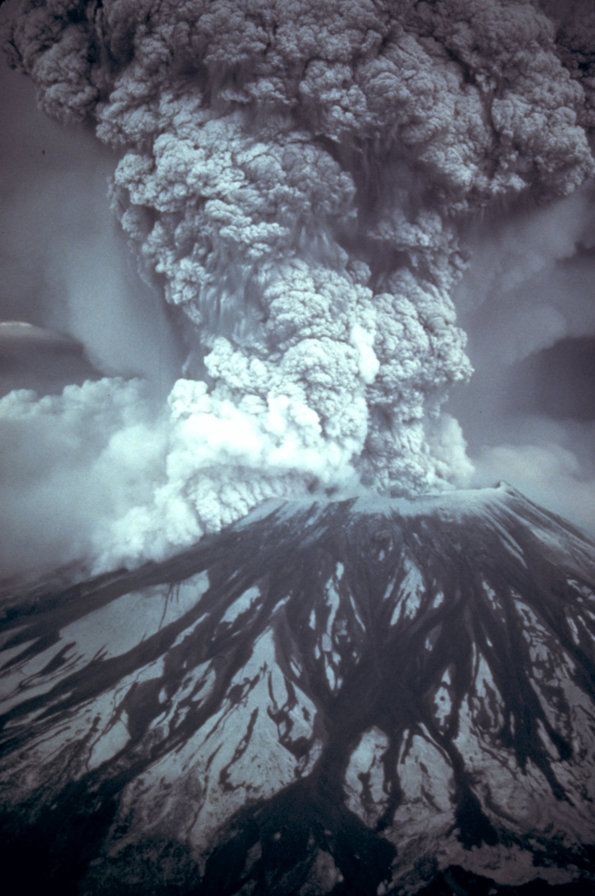
Mount St. Helens
Mount St. Helens · Skamania County · May 18, 1980 · Cascades
On a clear May morning, the north side of the mountain gave way.
- Geography & Geology
- History
Nirvana in Aberdeen
Kurt Cobain Memorial Park · Grays Harbor County · Coast
The city keeps a small park under the Young Street Bridge for the kid who hung out there — then rewrote rock.
- Music & Culture
- Pop Culture
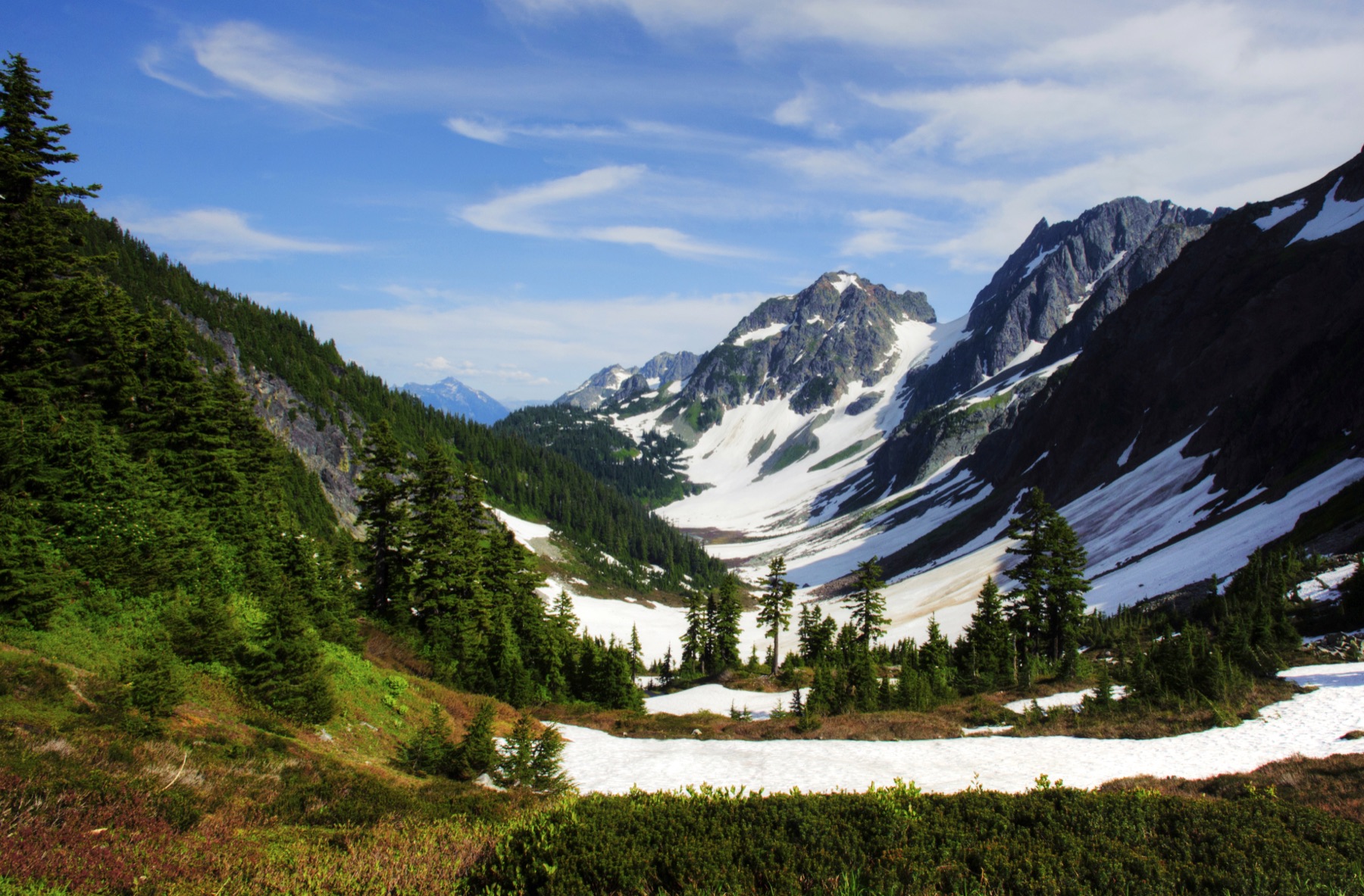
North Cascades National Park
North Cascades National Park · Whatcom County · established 1968 · North Cascades
NPS calls this the most heavily glaciated area in the United States outside Alaska, with more than 300 glaciers on the high peaks.
- Geography & Geology
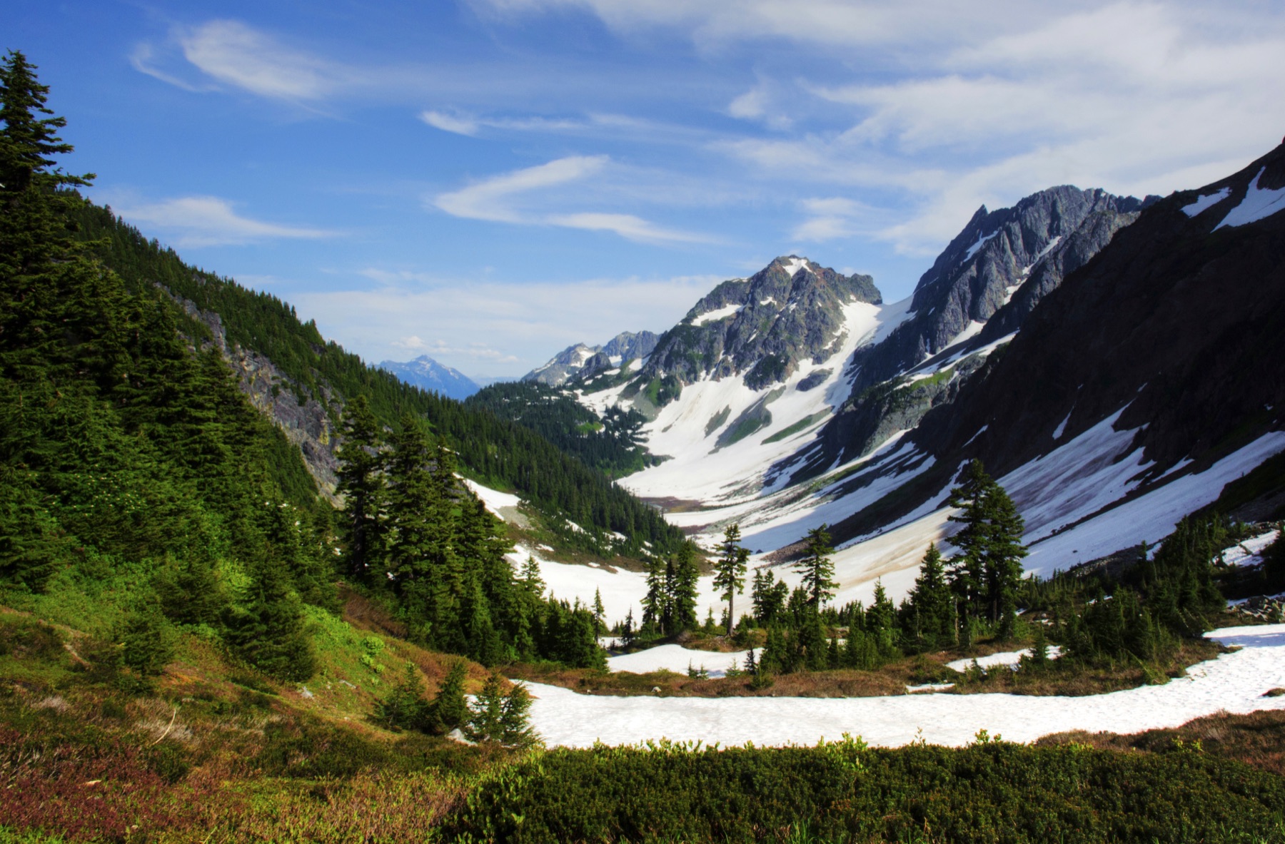
North Cascades National Park, 1968
North Cascades National Park · Whatcom County · October 2, 1968 · North Cascades
President Johnson signed Public Law 90-544 on October 2, 1968, creating a national park and two recreation areas for "majestic mountain scenery."
- Geography & Geology
- History
North Head Light
North Head Light · Pacific County · first lit 1898 · Coast
The Coast Guard lists this white conical tower as first lit in 1898, with a first-order Fresnel lens, still operational and automated in 1961.
- Geography & Geology
- History
Northern Exposure in Roslyn
Roslyn · Kittitas County · series 1990–1995 · Cascades
Cicely, Alaska, was a former coal town in the Cascades. Some bar interiors were shot in Redmond.
- Pop Culture
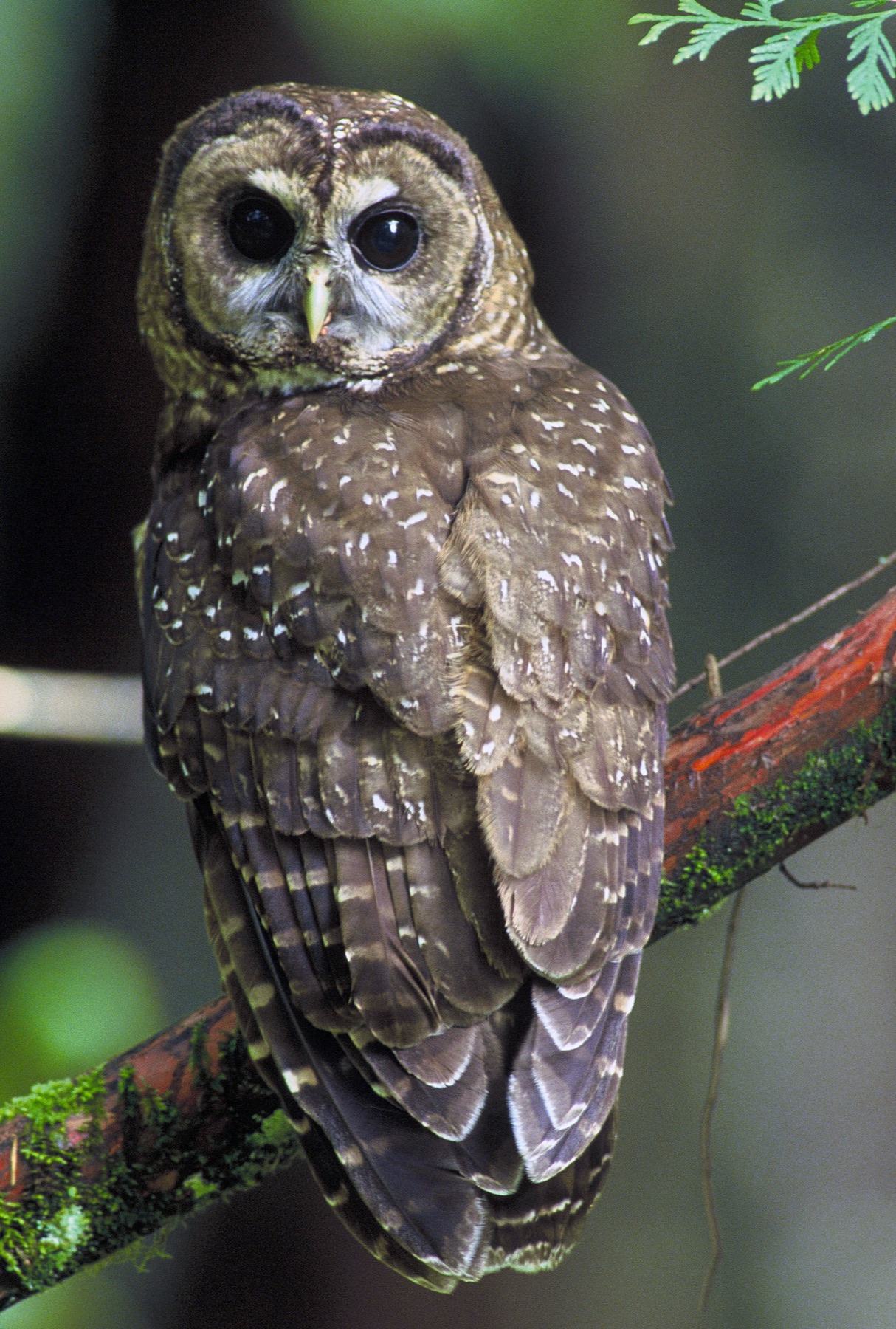
Northern Spotted Owl
Olympic National Forest · Jefferson County · listed threatened June 26, 1990 · Olympic Peninsula
USFWS listed this old-forest owl as threatened in 1990. It still holds that status, from southwestern British Columbia through Washington and Oregon into northern California.
- Wildlife & Ecology
Olympia Oyster
Discovery Bay · Jefferson County · 19 priority sites named 2012 · Olympic Peninsula
Washington’s only native oyster was cut to a remnant of its old beds. WDFW and partners are putting shell, and oysters, back.
- Wildlife & Ecology
- Science / Strange Washington
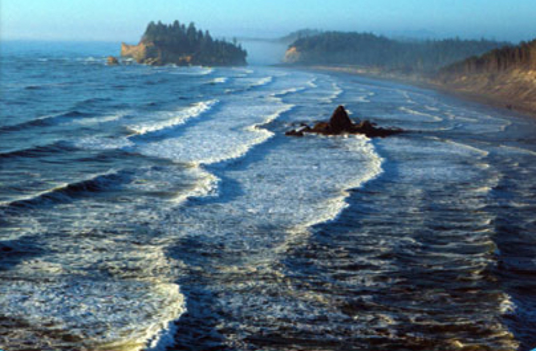
Olympic Coast National Marine Sanctuary
Olympic Coast National Marine Sanctuary · Jefferson County · designated July 22, 1994 · Olympic Peninsula
NOAA designated 3,188 square miles of ocean off the Olympic Peninsula on July 22, 1994, from the beaches out across the continental shelf.
- Geography & Geology
- Wildlife & Ecology
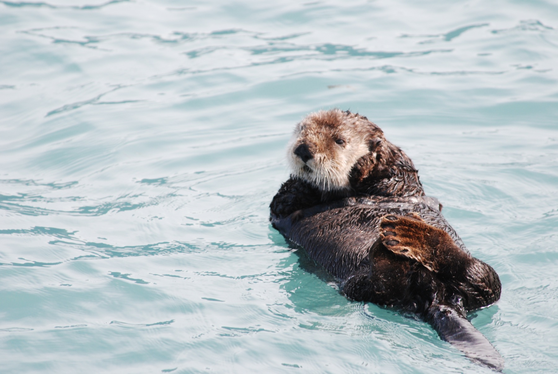
Olympic Coast Sea Otters
Olympic Coast · Jefferson County · reintroduced 1969–1970 · Olympic Peninsula
Washington's sea otters were gone by the early 1900s. FWS says 59 animals from Amchitka Island were released on the Olympic Coast in 1969 and 1970.
- Wildlife & Ecology
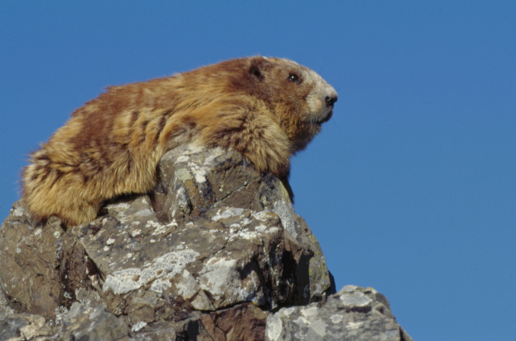
Olympic Marmot
Olympic Mountains · Clallam County · named official endemic mammal in 2009 · Olympic Peninsula
The only marmot that lives nowhere else is a high-meadow squirrel of the Olympic Mountains, and Washington named it the official endemic mammal in 2009.
- Wildlife & Ecology
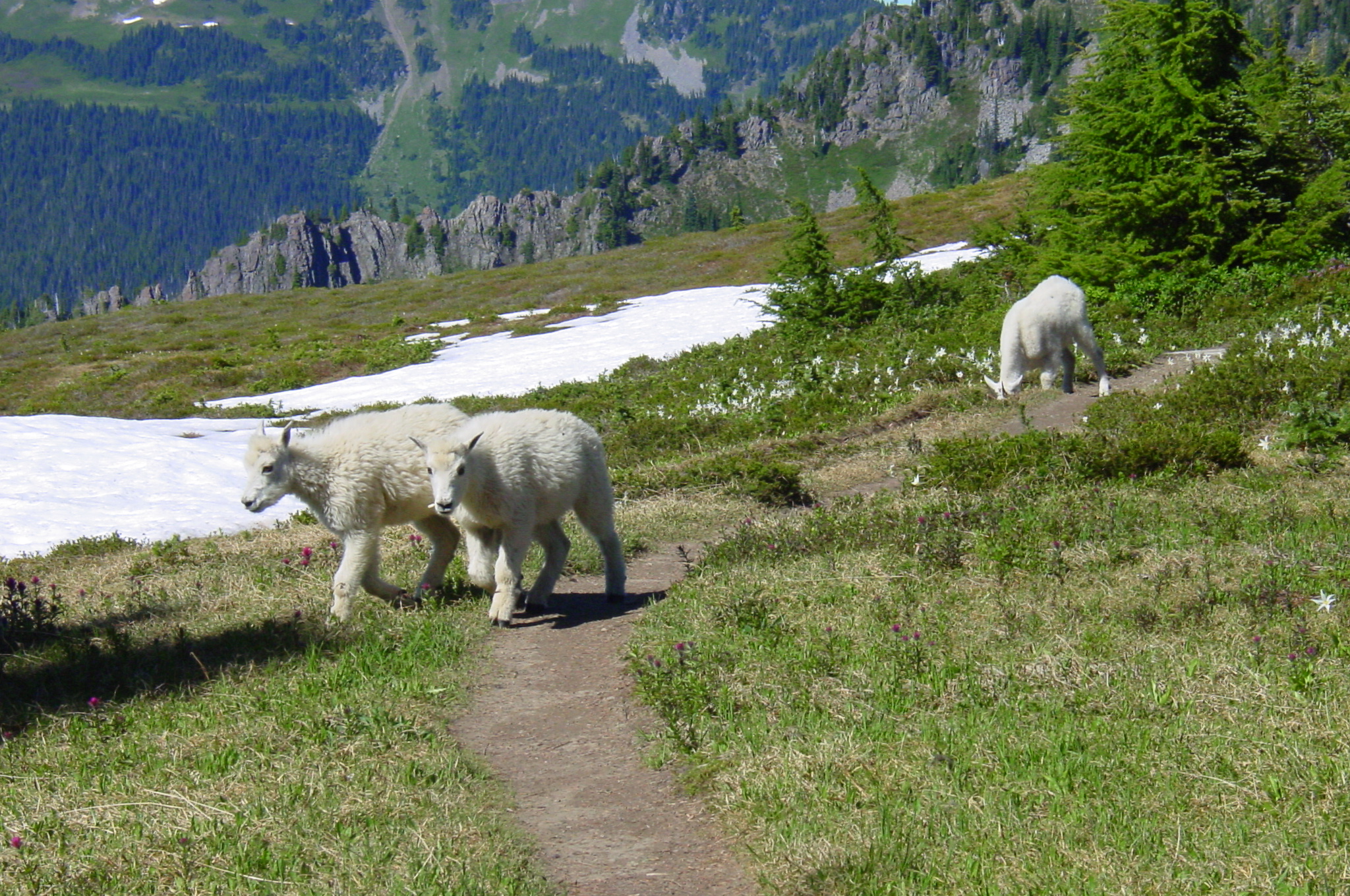
Olympic Mountain Goats
Hurricane Ridge · Clallam County · introduced 1925–1929 · Olympic Peninsula
Twelve mountain goats released near Lake Crescent in the 1920s were not native — and by 2018 the Olympic herd had grown to about 725.
- Wildlife & Ecology
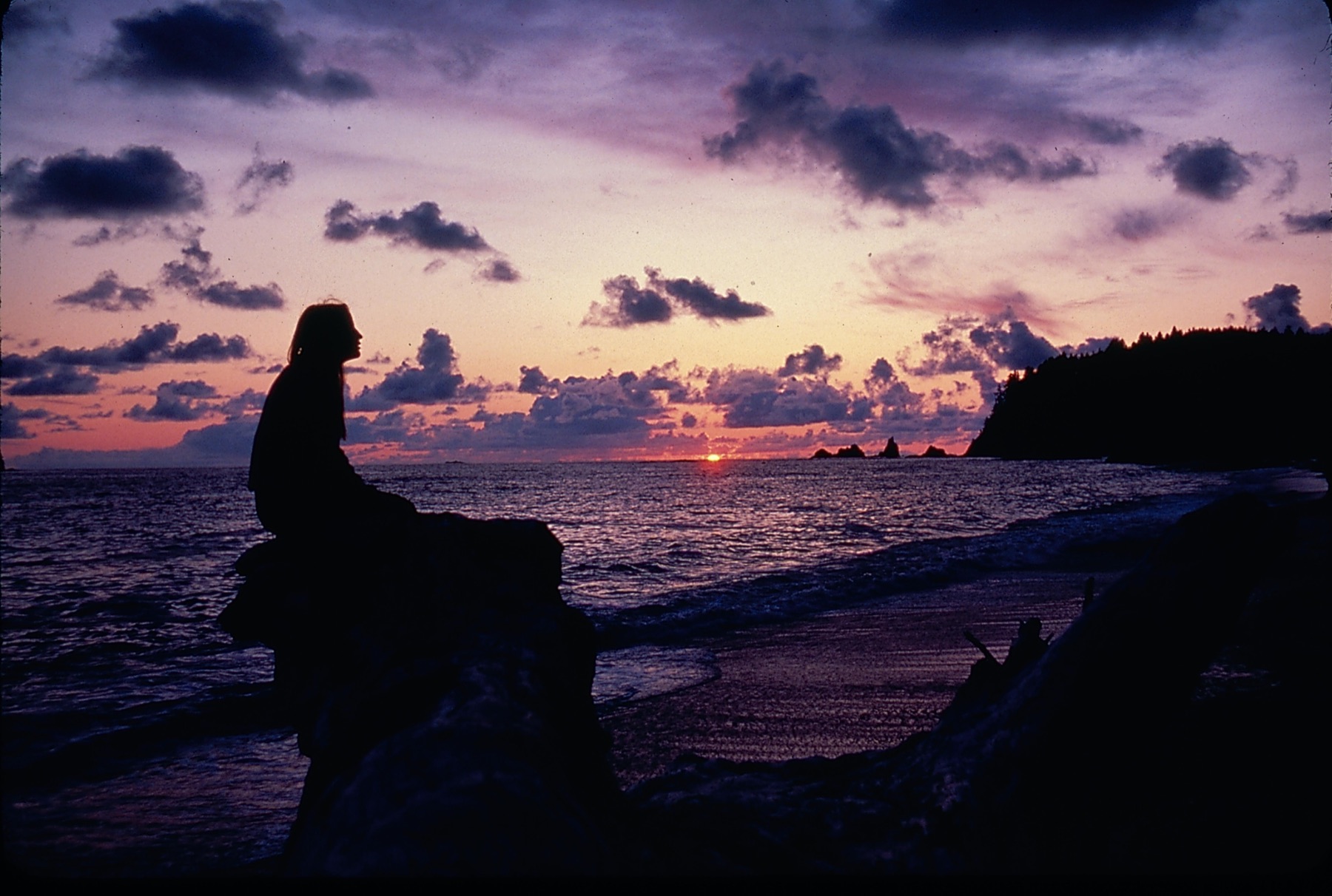
Olympic National Park, 1938
Olympic National Park · Jefferson County · June 29, 1938 · Olympic Peninsula
Franklin Roosevelt signed the park into law on June 29, 1938, after a 1937 visit, on ground first reserved in 1897 and later set aside for Roosevelt elk.
- Geography & Geology
- History
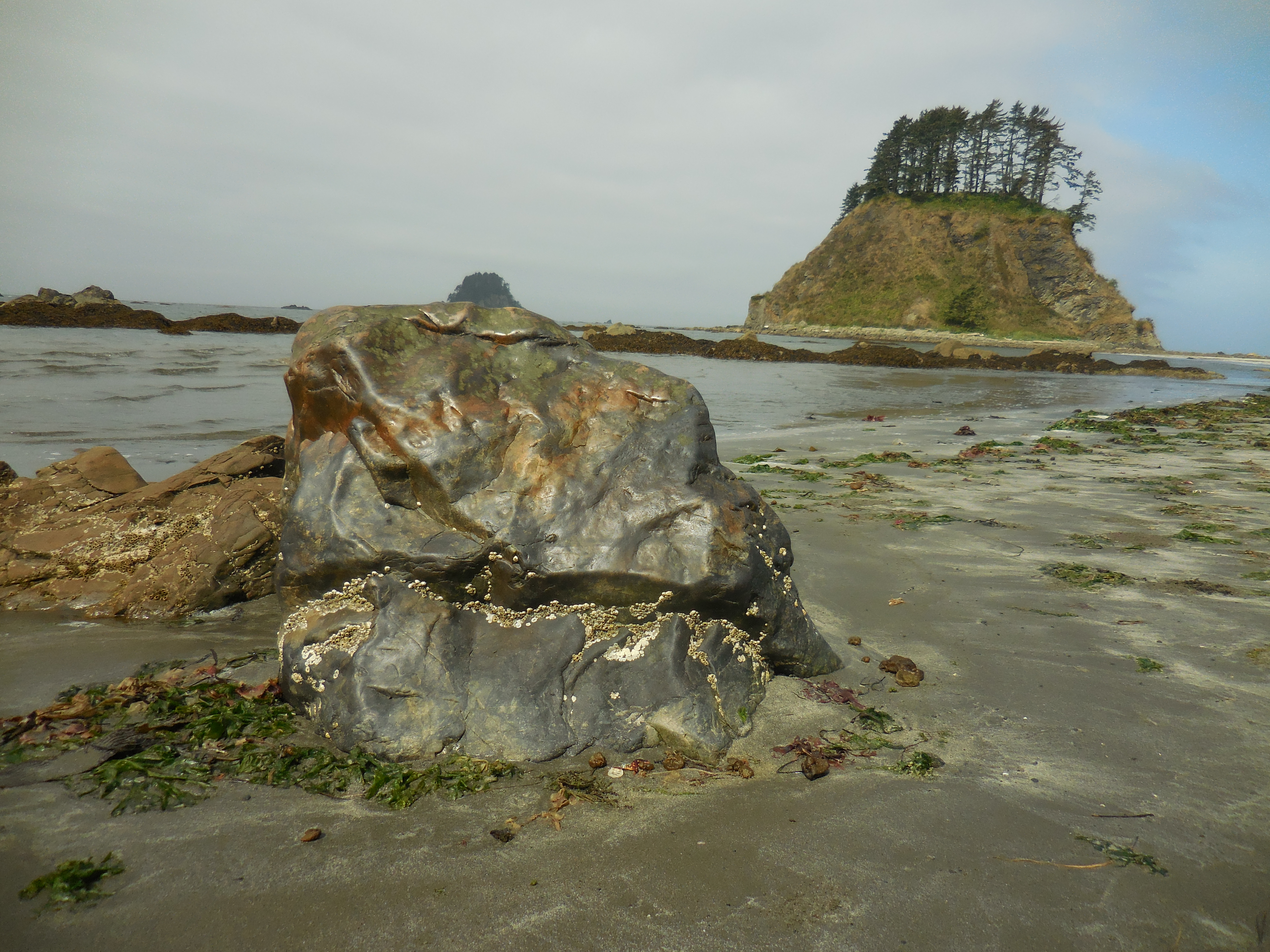
Ozette Loop
Cape Alava · Clallam County · added to the park 1940 · Olympic Coast
Three boardwalk and beach legs make a 9-mile triangle from Lake Ozette to Cape Alava and Sand Point.
- Geography & Geology
- Indigenous History & Place
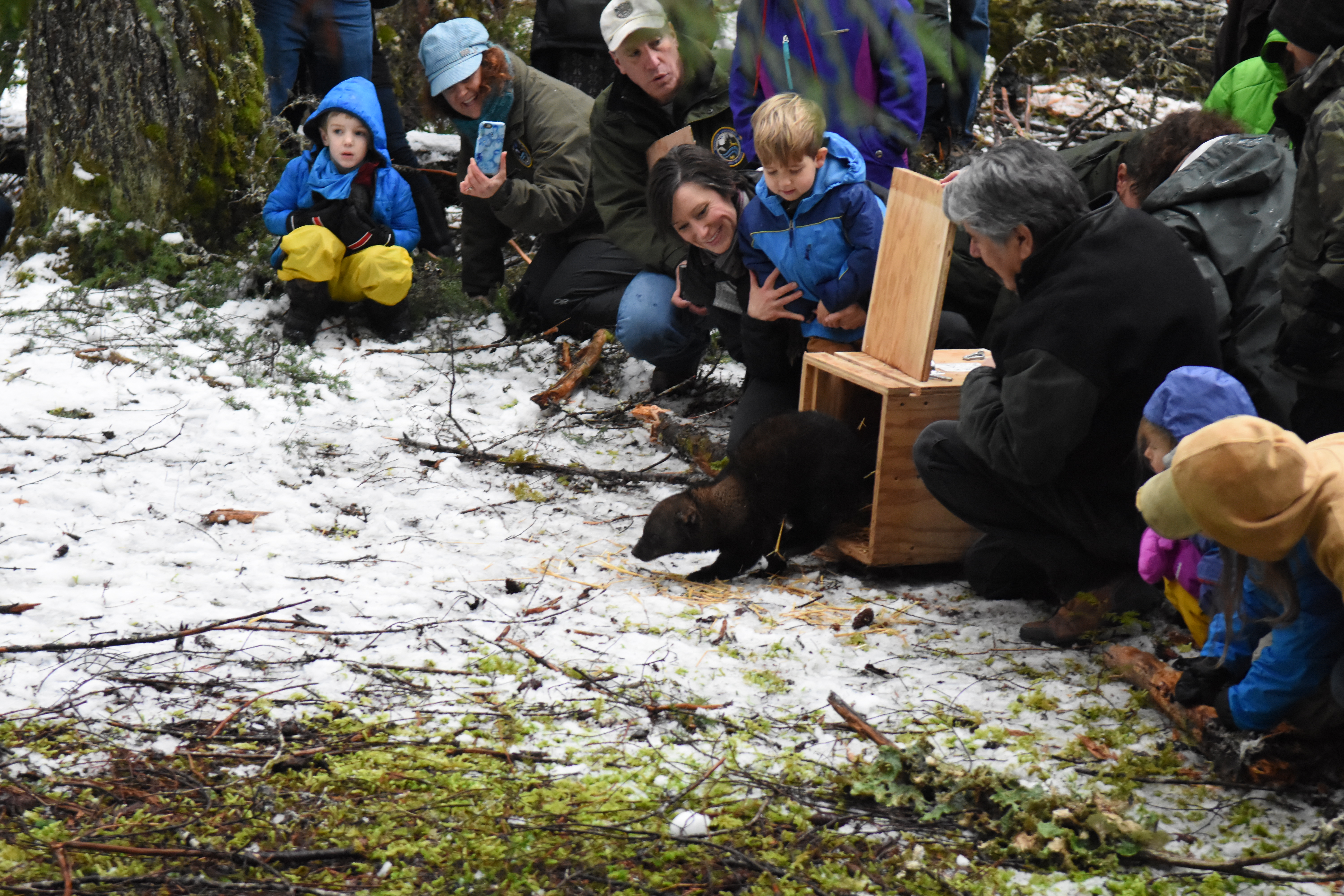
Pacific Fisher Reintroduction
Olympic National Park · Jefferson County · first Olympic release January 27, 2008 · Olympic Peninsula
On January 27, 2008, twelve fishers from British Columbia stepped into Olympic National Park — the first of 90 animals used to bring a housecat-sized weasel back to Washington.
- Wildlife & Ecology
Pacific Razor Clams
Copalis Beach · Grays Harbor County · state management since 1929 · Coast
WDFW has managed Washington’s coastal razor-clam digs since 1929, counting every beach before anyone is allowed to shovel.
- Wildlife & Ecology
- Science / Strange Washington
Padilla Bay Reserve
Padilla Bay · Skagit County · designated 1980 · Puget Sound
A NOAA estuary reserve on the Skagit delta that protects one of the largest eelgrass beds in the contiguous United States.
- Wildlife & Ecology
- Science / Strange Washington
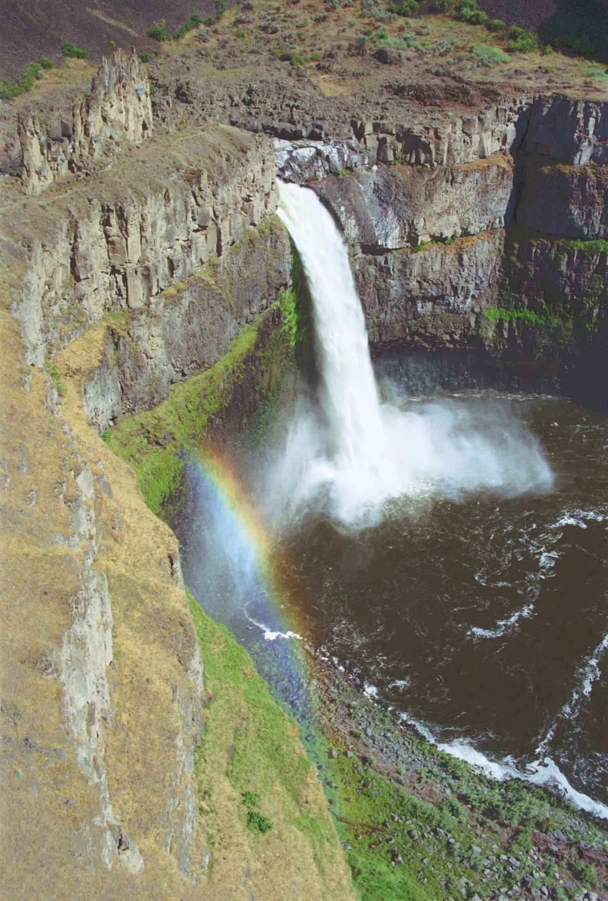
Palouse Falls
Palouse Falls · Franklin County · carved more than 13,000 years ago · Columbia Basin
A 200-foot drop in a Palouse coulee is the state waterfall, carved when Ice Age floods rerouted a river from the Columbia to the Snake.
- Geography & Geology
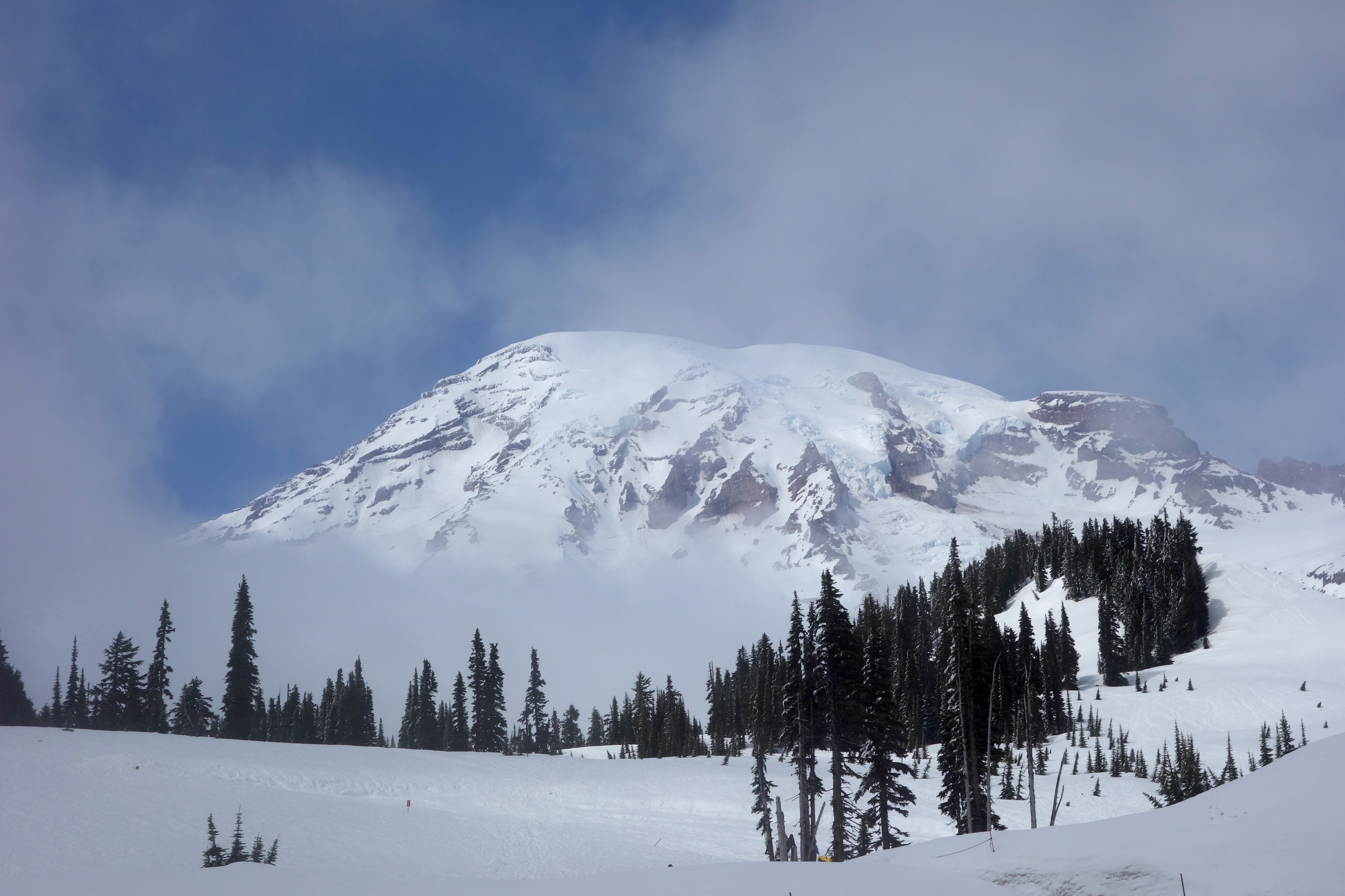
Paradise
Paradise · Pierce County · Cascades
Martha Longmire called this 5,400-foot meadow a paradise, and the park still measures about 640 inches of snow here in an average winter.
- Geography & Geology
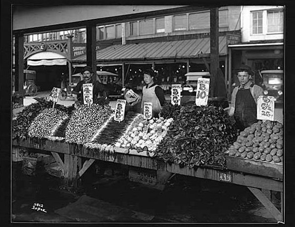
Pike Place Market
Pike Place Market · King County · opened August 17, 1907 · Puget Sound
Eight farmers met a crowd of nearly 10,000 on August 17, 1907. Seattle later voted to keep the market as “the soul of Seattle.”
- History
- Music & Culture
Pinto Abalone
Freshwater Bay · Clallam County · first experimental releases 2007 · Olympic Peninsula
A kelp-forest snail Washington listed as endangered in 2019, now the subject of a WDFW–UW hatchery partnership that has put tens of thousands of juveniles back in the water.
- Wildlife & Ecology
- Science / Strange Washington
Practical Magic in Coupeville
Coupeville · Island County · released 1998 · Puget Sound
Maria’s Island, Massachusetts, was Front Street on Whidbey. The Owens house was a shell on another island — and then it was gone.
- Pop Culture
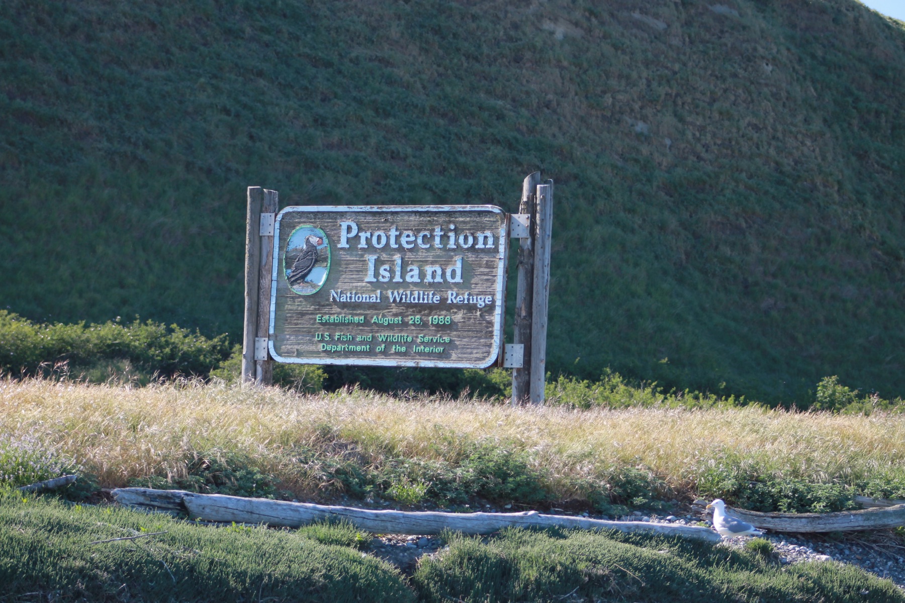
Protection Island
Protection Island National Wildlife Refuge · Jefferson County · established 1982 · Olympic Peninsula
A 364-acre refuge closed to the public holds puffins, auklets, and harbor seals, with a 200-yard watercraft buffer around the shore.
- Wildlife & Ecology
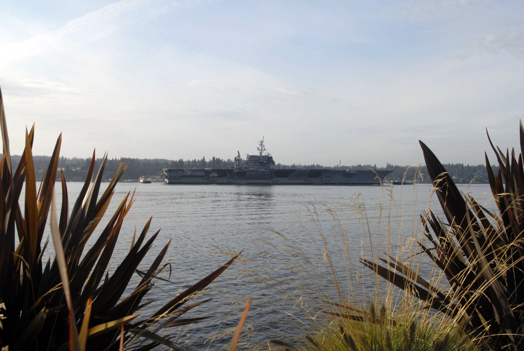
Puget Sound Naval Shipyard
Puget Sound Naval Shipyard · Kitsap County · established September 16, 1891 · Puget Sound
The Navy bought 145 acres at Bremerton on September 16, 1891. The yard later became the Navy's nuclear-capable shipyard on Puget Sound.
- History
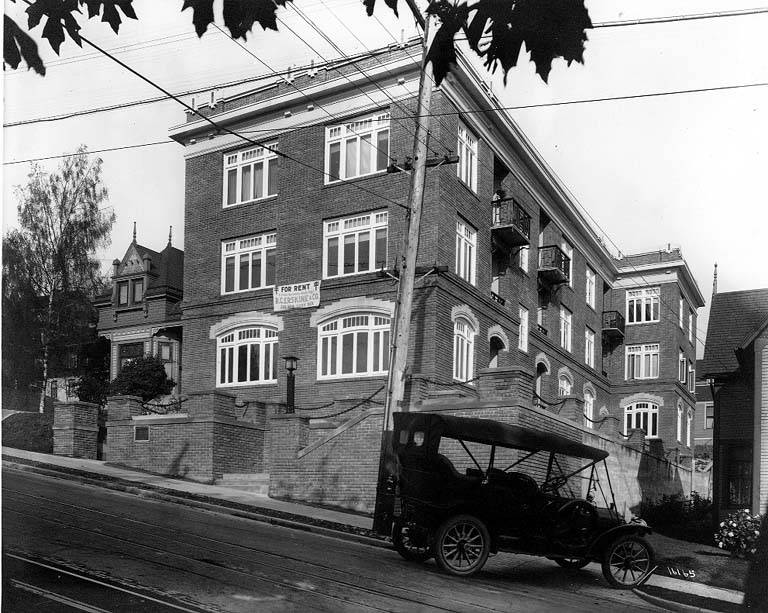
Queen Anne
Queen Anne · King County · annexed 1883 · Puget Sound
Thomas Mercer called the hill Eden. By the mid-1880s real-estate ads sold it as Queen Anne Town, after the houses on the slope.
- History
- Indigenous History & Place
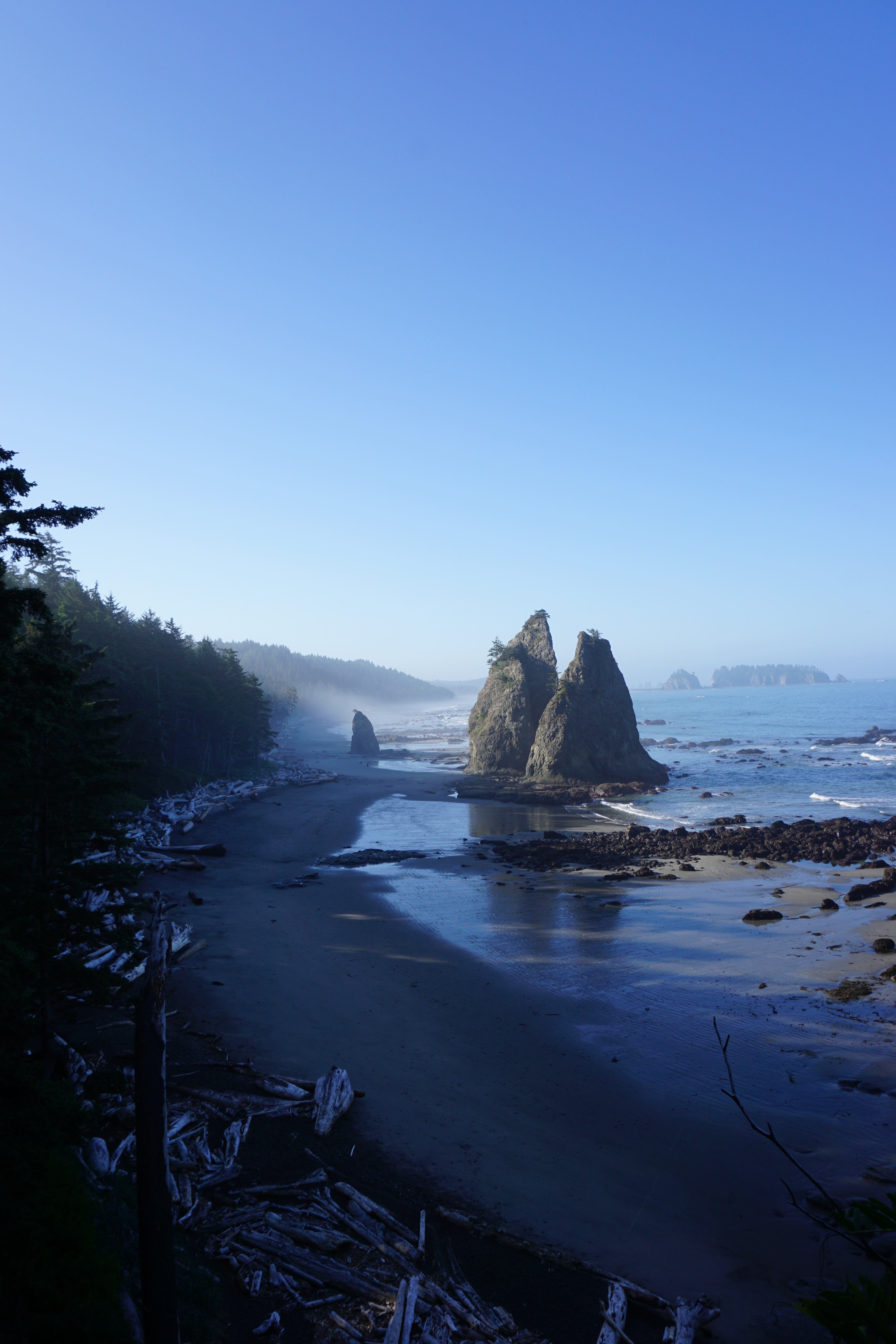
Rialto Beach
Rialto Beach · Clallam County · Olympic Peninsula
Drift logs, seastacks, and a 1.5-mile walk to Hole-in-the-Wall define this Olympic wilderness beach 75 miles from Port Angeles.
- Geography & Geology
- Wildlife & Ecology
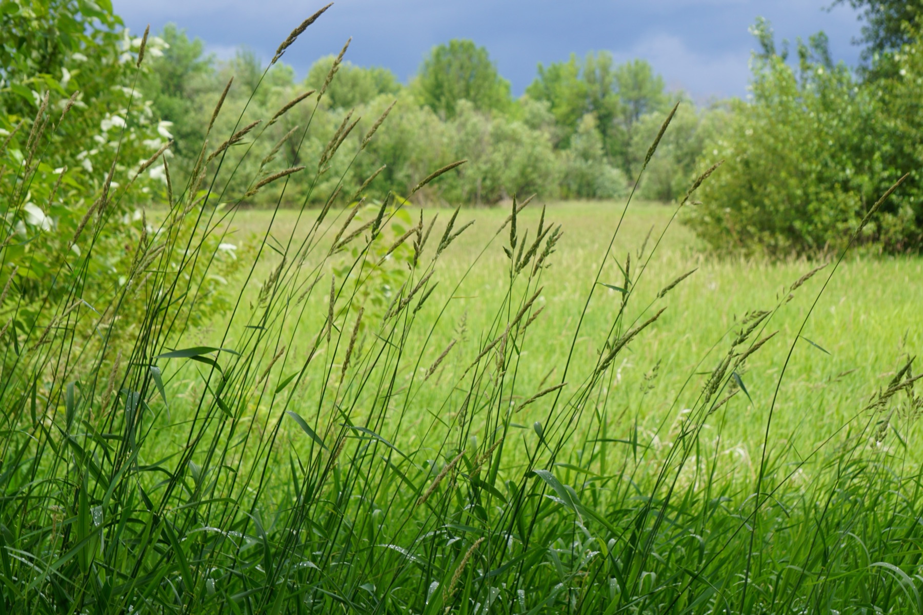
Ridgefield National Wildlife Refuge
Ridgefield National Wildlife Refuge · Clark County · established 1965 · Southwest Washington
FWS established this lower Columbia refuge in 1965 as wintering habitat for the dusky Canada goose, whose range is extremely limited.
- Wildlife & Ecology
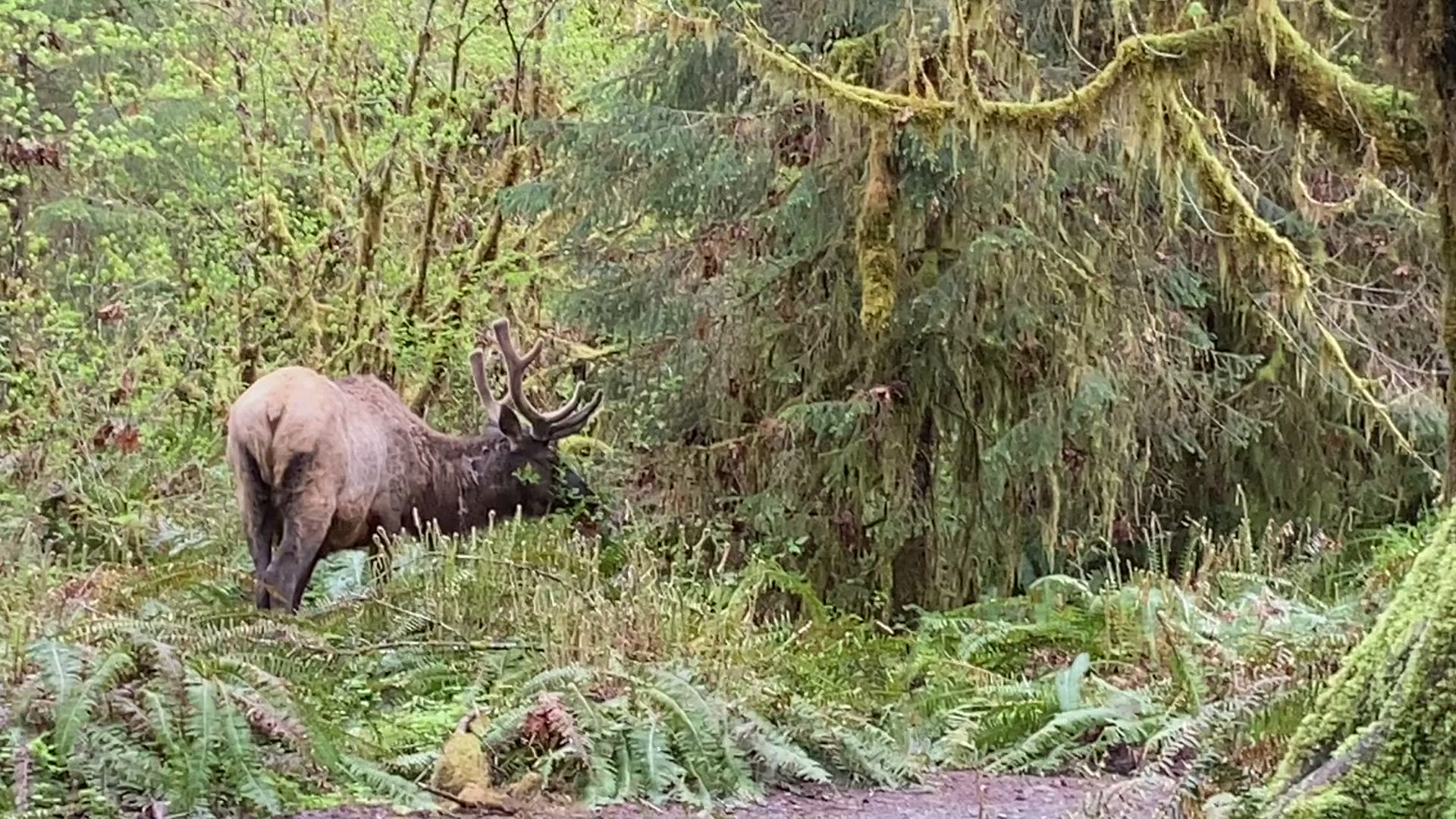
Roosevelt Elk
Hoh Rain Forest · Jefferson County · Mount Olympus National Monument 1909 · Olympic Peninsula
Olympic National Park holds the largest fully wild Roosevelt elk herd in the Pacific Northwest. Bulls can weigh 1,100 pounds.
- Wildlife & Ecology
- History
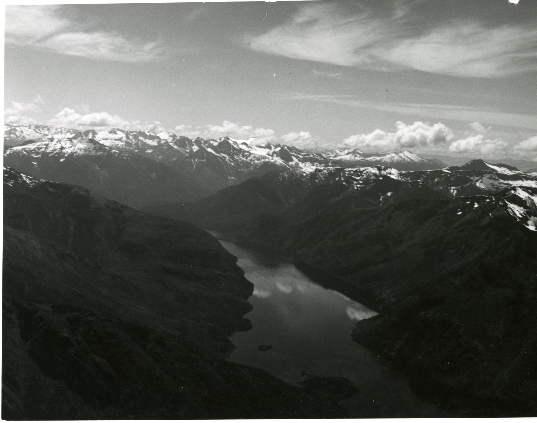
Ross Lake
Ross Lake · Whatcom County · Skagit Hydroelectric Project reservoir · North Cascades
A long reservoir behind Ross Dam fills the Skagit valley inside Ross Lake National Recreation Area, one of three lakes made by Seattle City Light.
- Geography & Geology
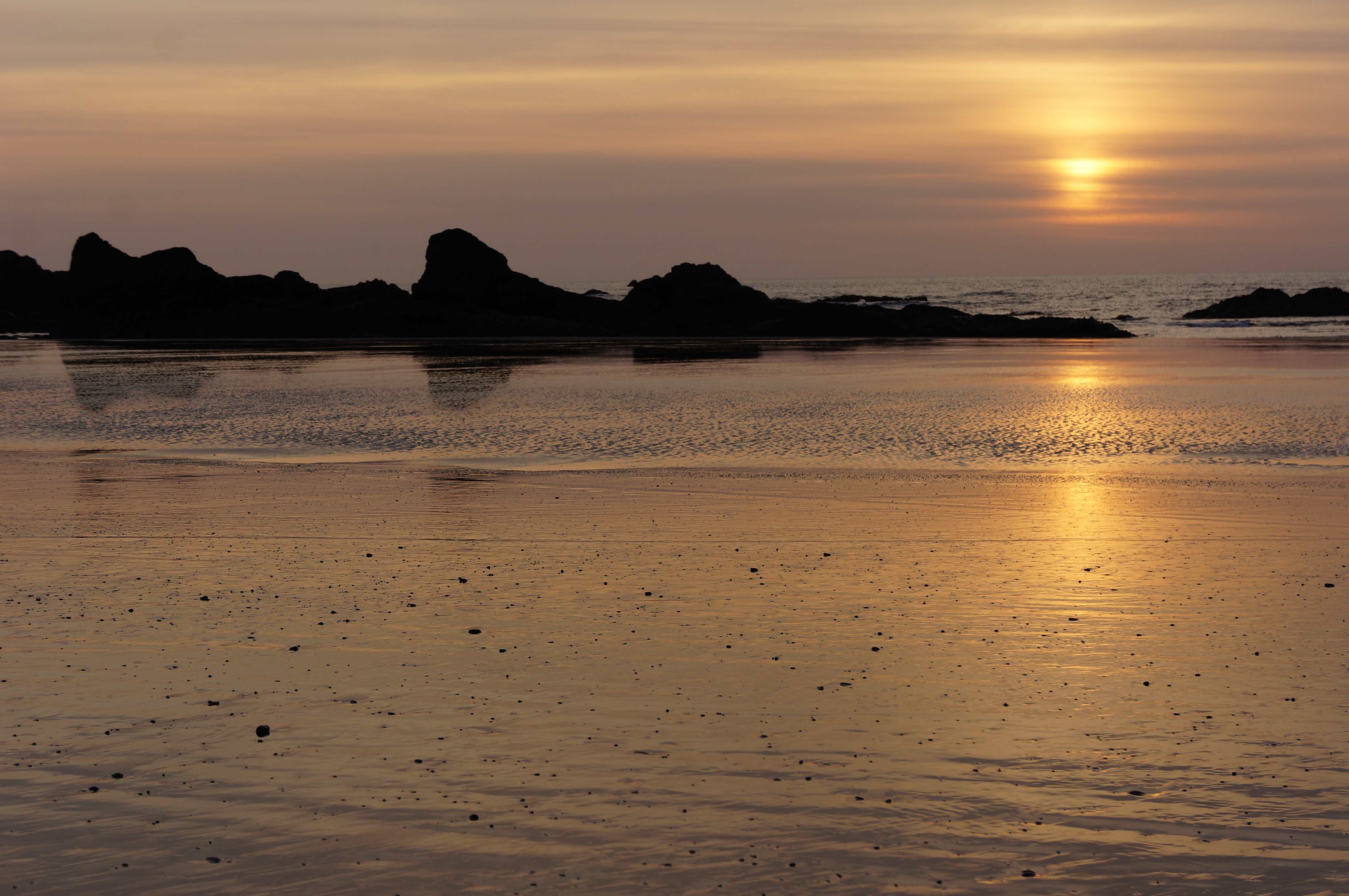
Ruby Beach
Ruby Beach · Jefferson County · Olympic Coast
Cedar Creek meets the Pacific 7.5 miles north of Kalaloch. About 225,000 people a year walk down to the stacks and tide pools.
- Geography & Geology
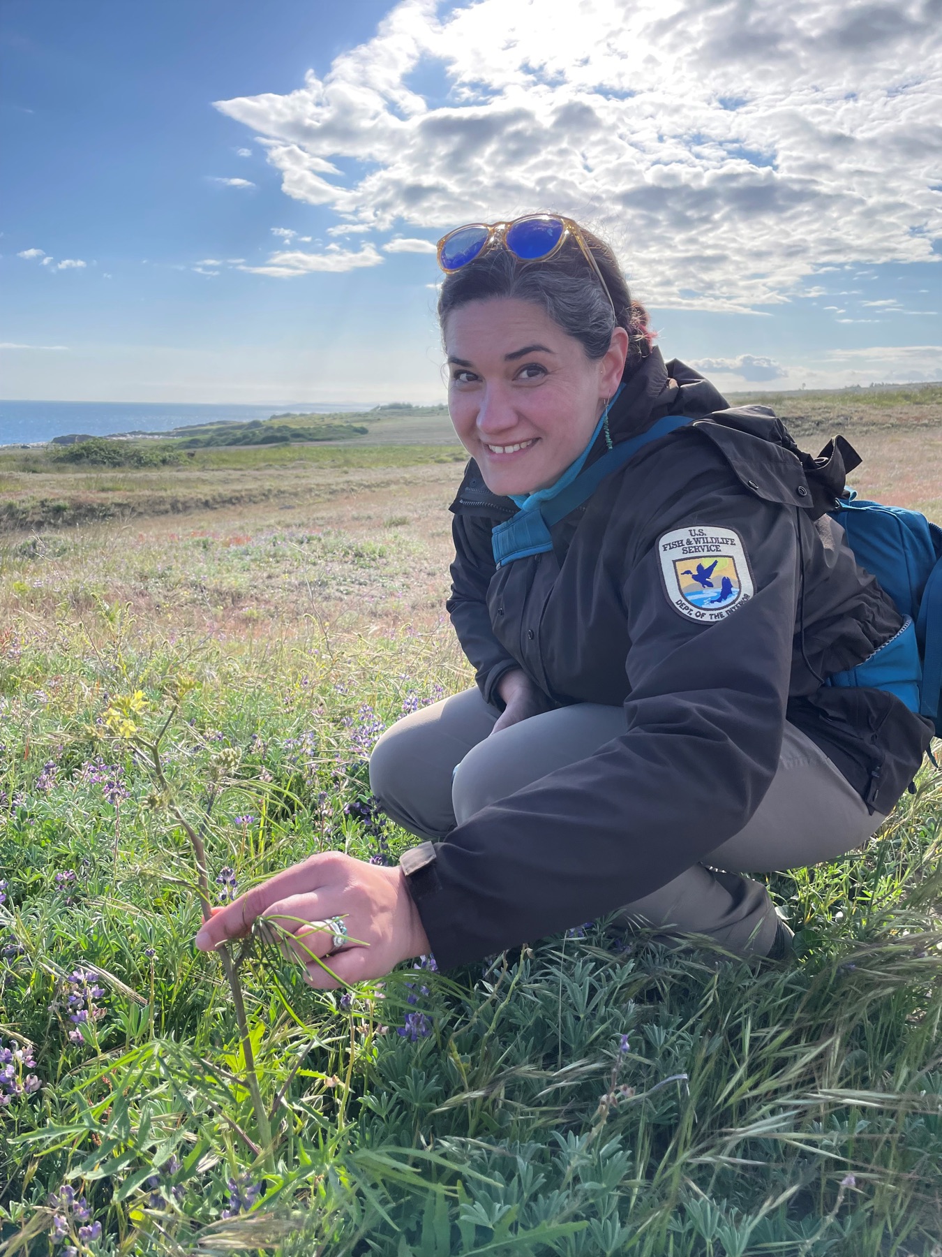
San Juan Islands National Wildlife Refuge
San Juan Islands National Wildlife Refuge · San Juan County · established 1960 · San Juan Islands
FWS set these rocks, reefs, and islands aside in 1960 for migratory birds. Almost all of them are closed, with a 200-yard buffer for boats.
- Wildlife & Ecology
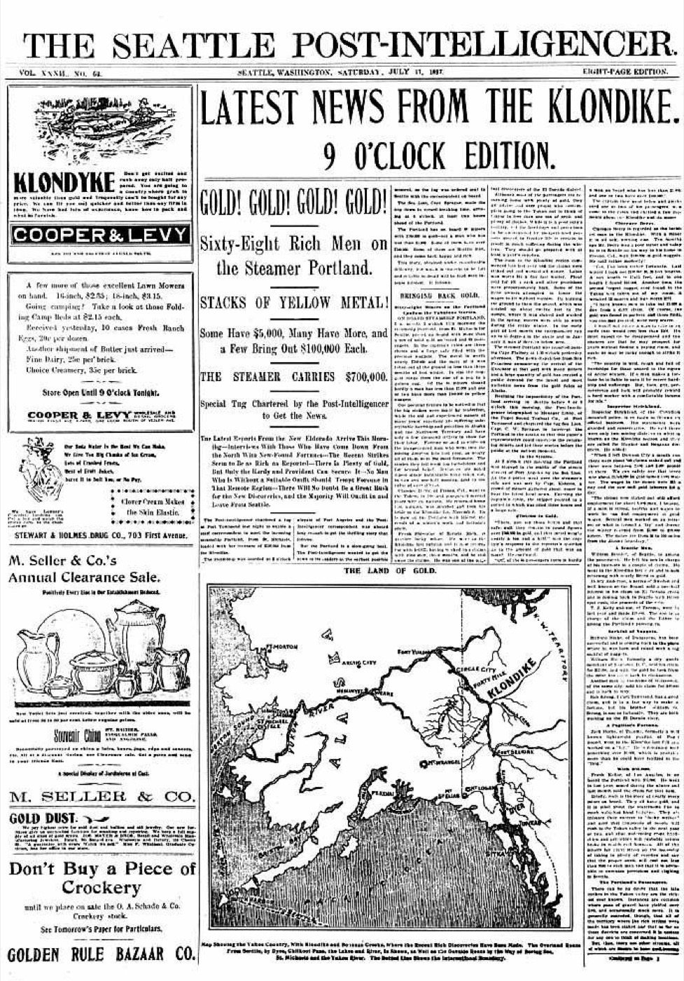
Seattle and the Klondike stampede
Pioneer Square · King County · stampede of 1897–1898 · Puget Sound
A steamer landed in Elliott Bay with what the papers called a ton of gold. Seattle sold the rest of the rush its outfit.
- History
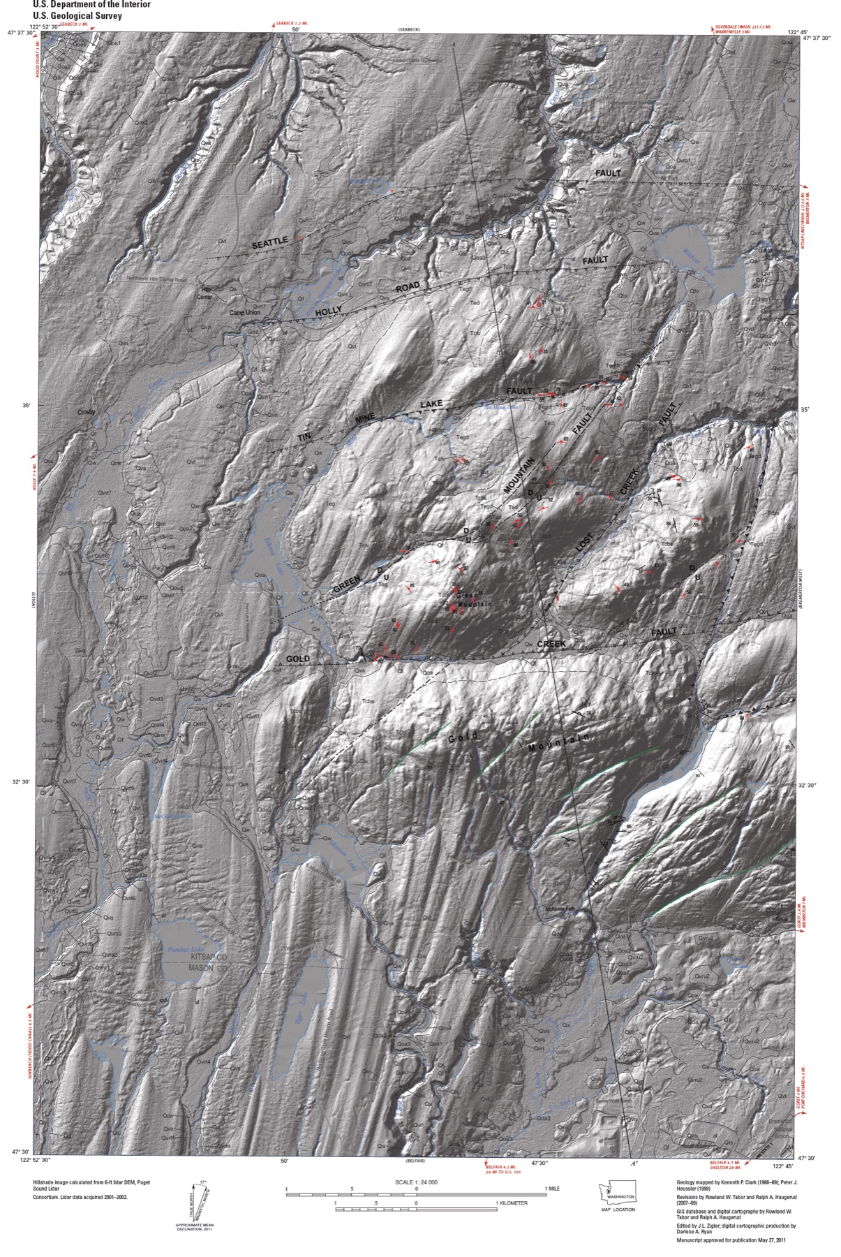
Seattle Fault
Seattle Fault · King County · last large earthquake close to A.D. 900 · Puget Sound
A roughly 70-kilometer thrust under Seattle can host a magnitude 7 to 7.5 earthquake. USGS says the last large one was close to the year 900.
- Geography & Geology
- Science / Strange Washington
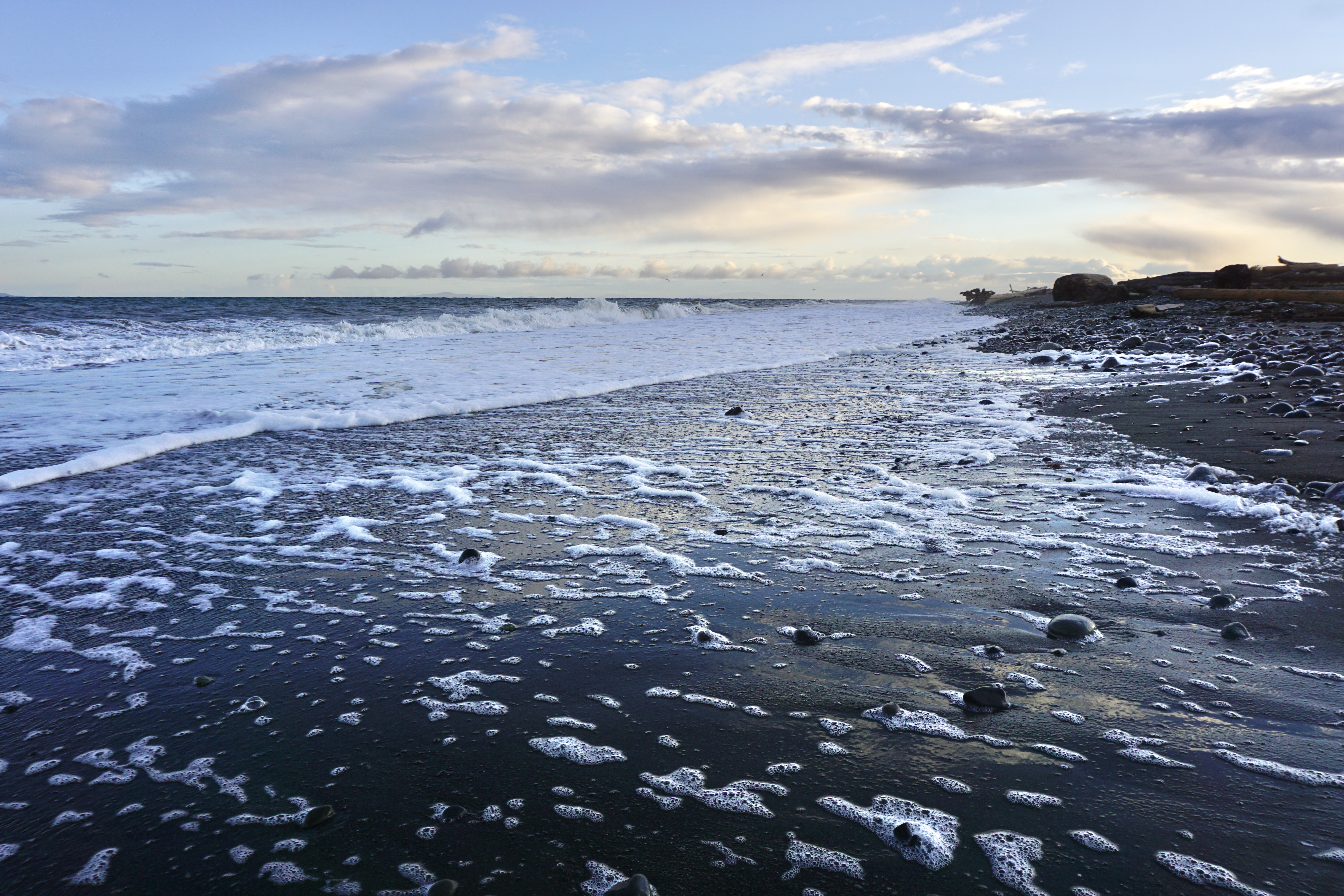
Sequim Rain Shadow
Sequim · Clallam County · Olympic Peninsula
Sequim gets about 16 inches of rain a year — less than 35 miles from temperate rain forest, and close enough for prickly pear cactus.
- Geography & Geology
- Science / Strange Washington
Sleepless in Seattle
Lake Union · King County · released 1993 · Puget Sound
Tom Hanks’s floating bachelor pad is a real Lake Union home. Visit Seattle says the insides were a soundstage — look from the water, not the dock.
- Pop Culture
Smith and Minor Islands Aquatic Reserve
Smith Island · Island County · designated 2010 · Puget Sound
DNR’s largest aquatic reserve holds Washington’s largest bull kelp bed, five miles off Whidbey Island.
- Wildlife & Ecology
- Science / Strange Washington
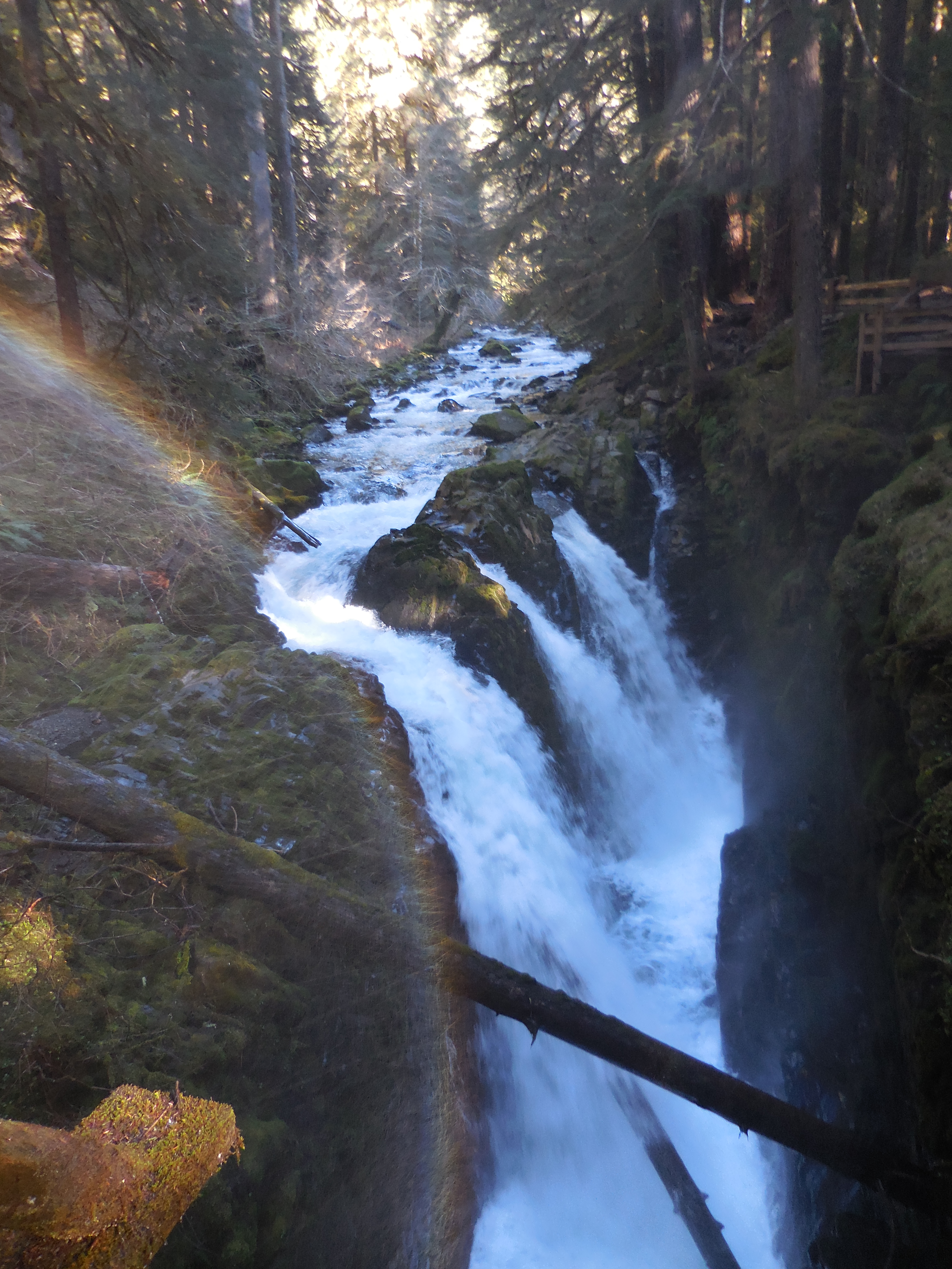
Sol Duc Falls
Sol Duc Falls · Clallam County · Olympic Peninsula
NPS calls this the most picturesque waterfall in Olympic National Park — and it is only eight-tenths of a mile through old-growth forest.
- Geography & Geology
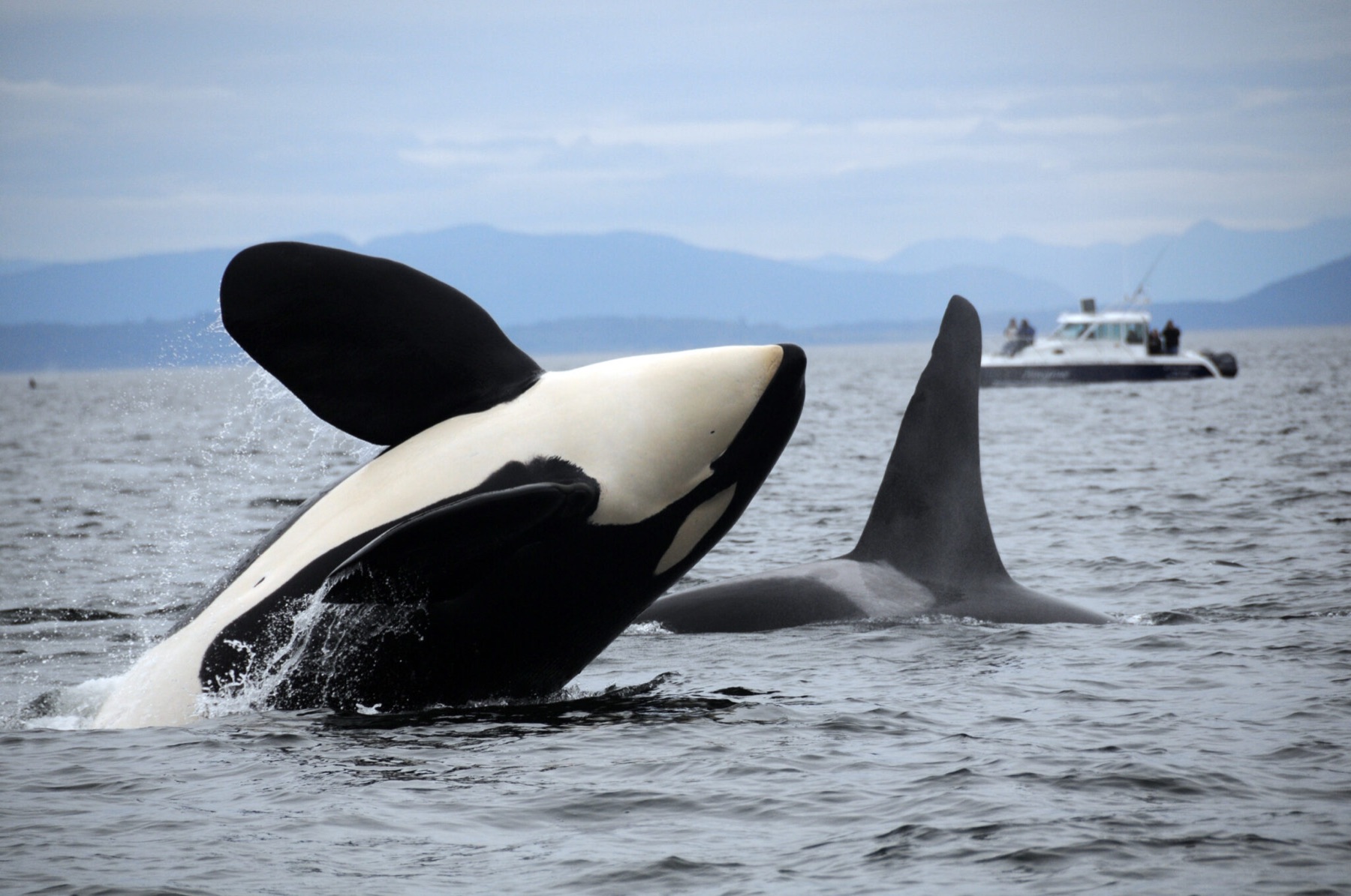
Southern Resident killer whales
Haro Strait · San Juan County · listed 2005 · Salish Sea
Three family pods still spend summers in Puget Sound. There are only a few dozen left.
- Wildlife & Ecology
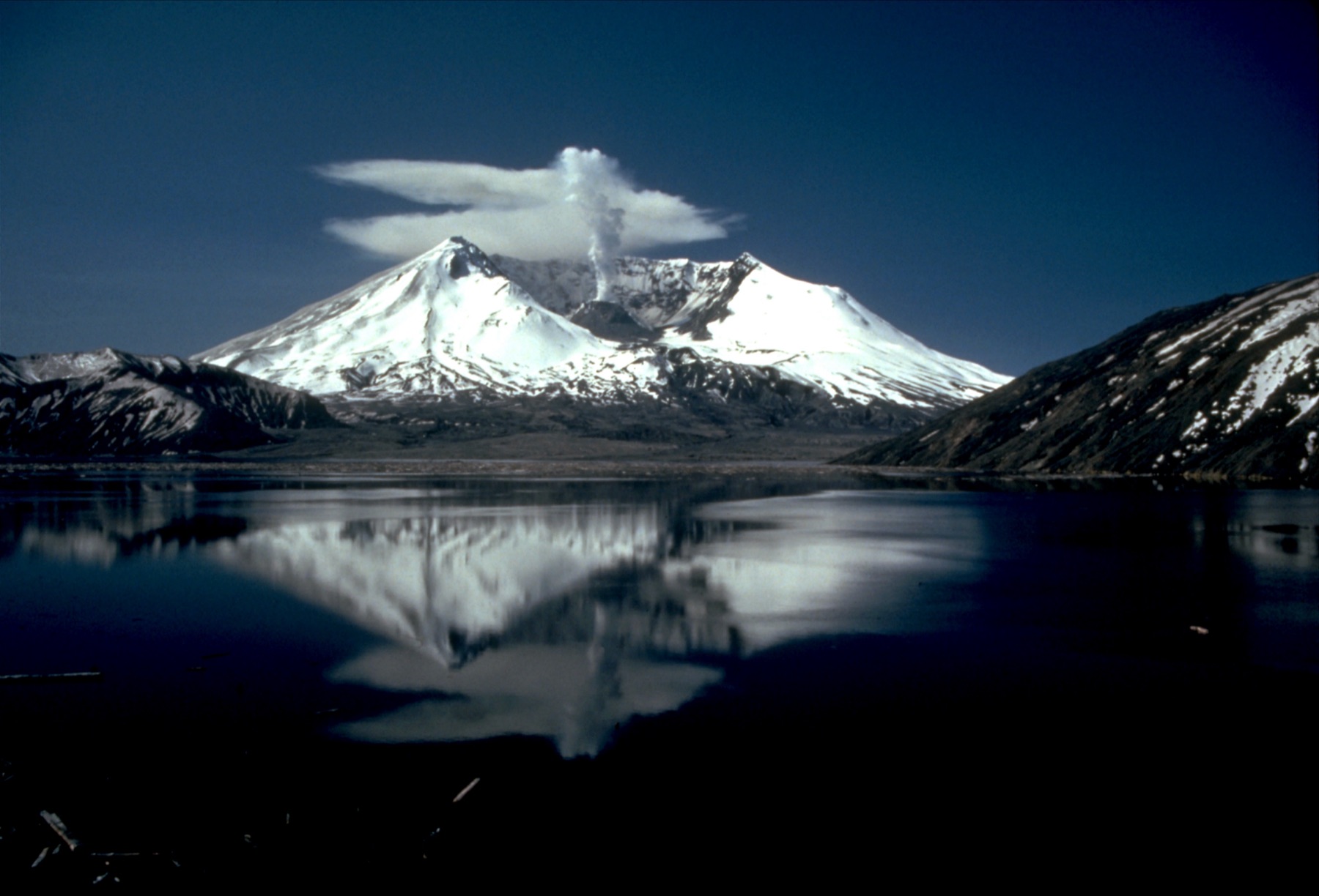
Spirit Lake
Spirit Lake · Skamania County · raised 64 meters on May 18, 1980 · Cascades
The 1980 debris avalanche raised the lake 64 meters, blocked its outlet, and forced a bedrock tunnel so the water would not break out down the Toutle.
- Geography & Geology
- Science / Strange Washington
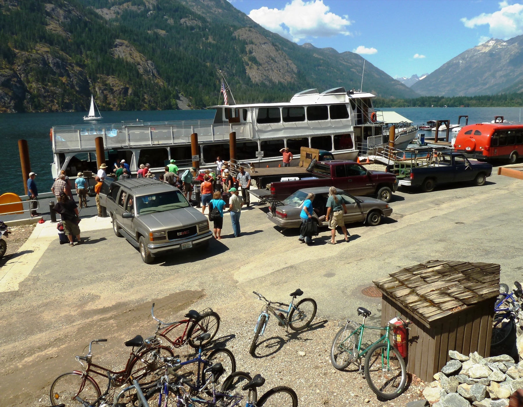
Stehekin
Stehekin · Chelan County · roadless village at the head of Lake Chelan · North Cascades
A roadless village at the head of Lake Chelan takes its name from Salishan words NPS translates as "the way through," "turning around place," or "mountain tops."
- Geography & Geology
- Indigenous History & Place
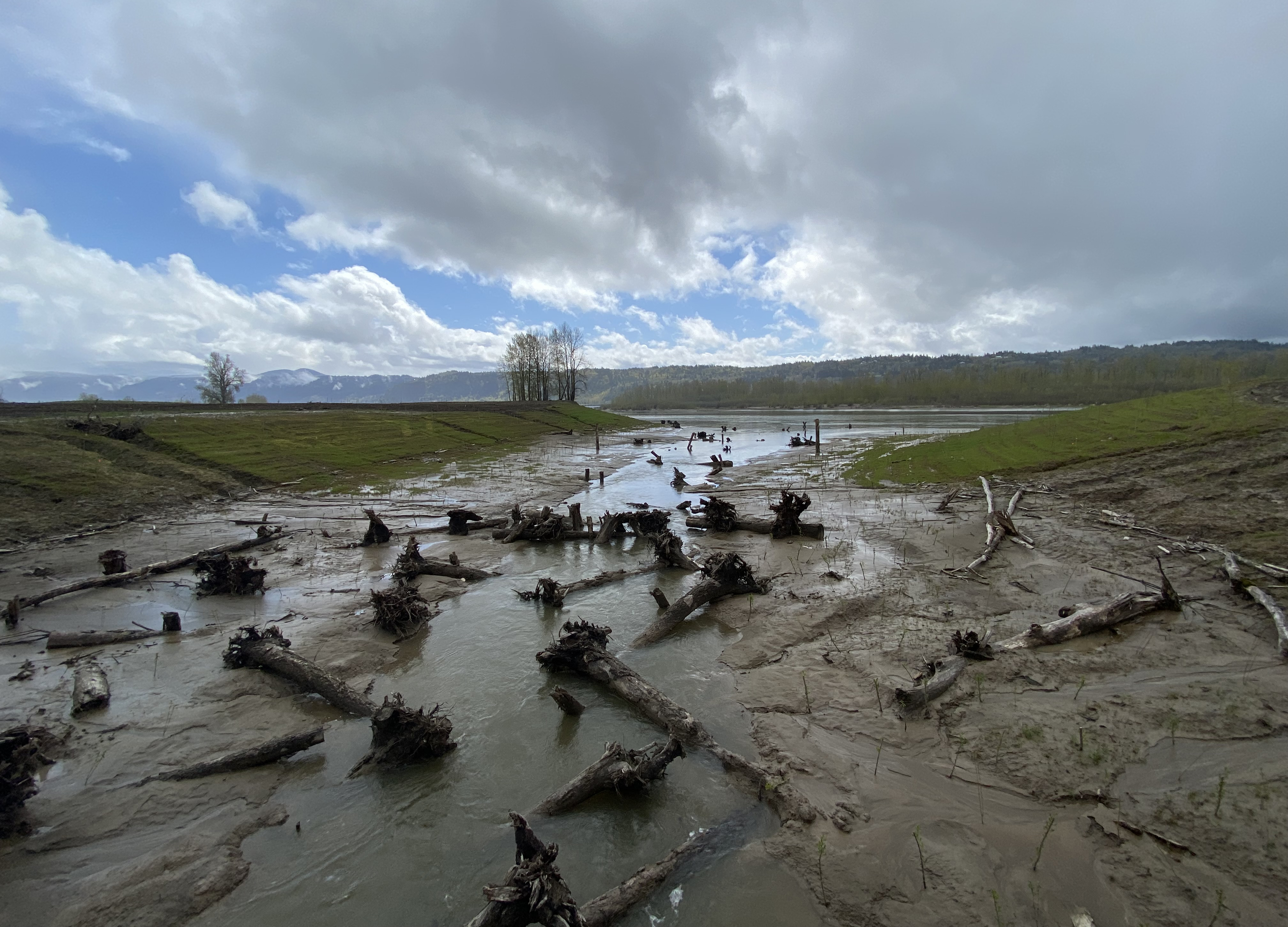
Steigerwald Lake National Wildlife Refuge
Steigerwald Lake National Wildlife Refuge · Clark County · 1987 · Columbia Gorge
A 1987 refuge just east of Washougal was created to offset lowland habitat lost to Bonneville Dam, then reopened 965 acres of floodplain.
- Wildlife & Ecology
Steptoe Butte
Steptoe Butte · Whitman County · state park dedicated July 4, 1946 · Palouse
A 3,612-foot Palouse quartzite island that gave geology the word “steptoe,” and that still holds some of the last Palouse prairie in Washington.
- Geography & Geology
- Wildlife & Ecology
- Indigenous History & Place
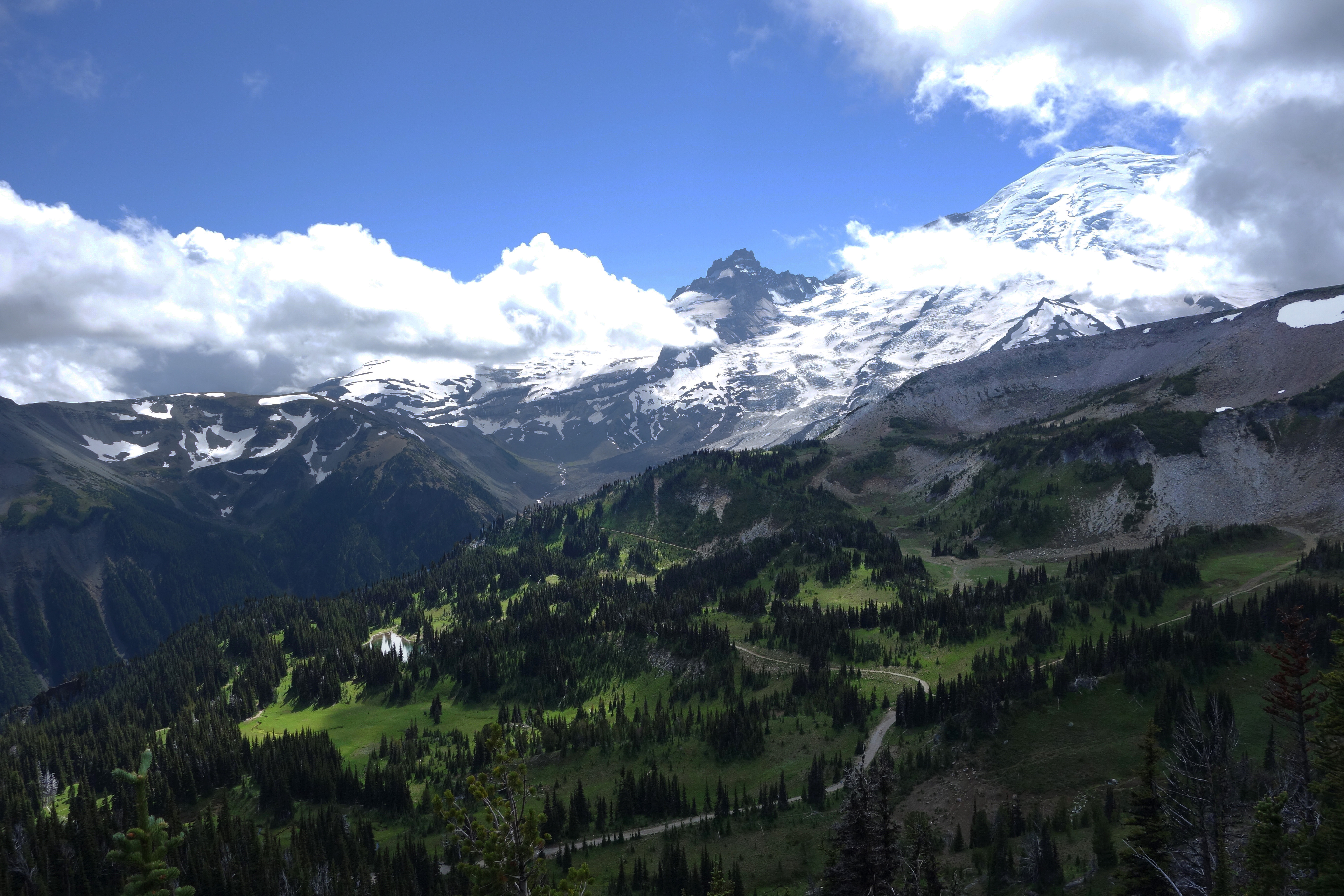
Sunrise
Sunrise · Pierce County · Cascades
At 6,400 feet, this is the highest place a car can reach in Mount Rainier National Park, and it looks straight at Emmons Glacier.
- Geography & Geology
- Indigenous History & Place
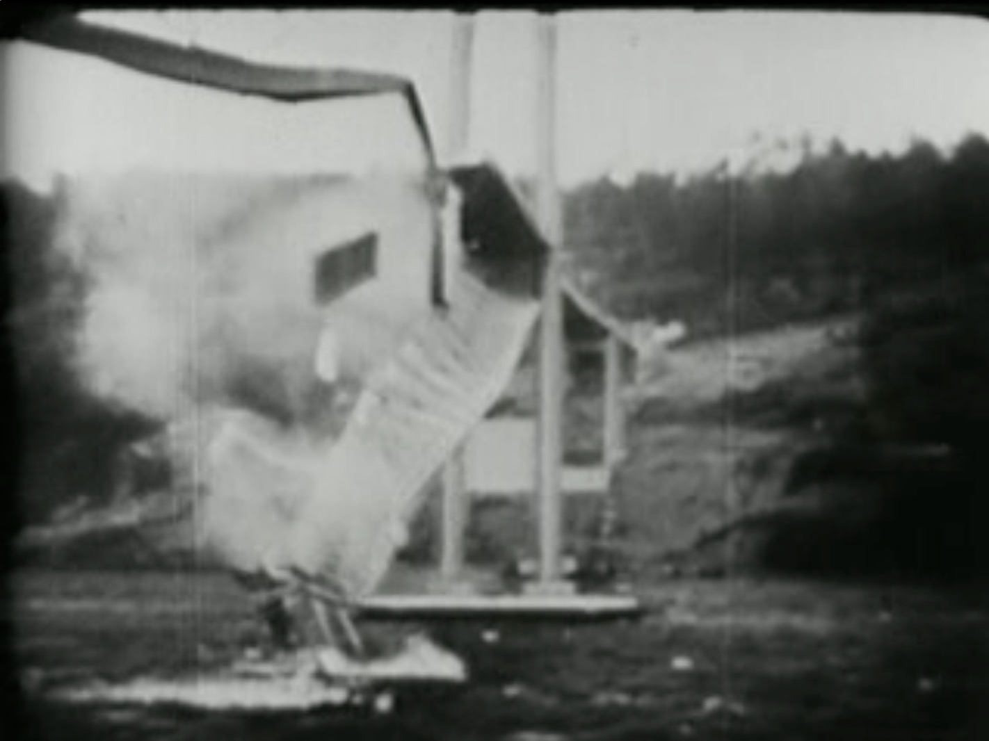
Tacoma Narrows Bridge, 1940
Tacoma Narrows · Pierce County · November 7, 1940 · Puget Sound
Galloping Gertie opened in July 1940 as the third-longest suspension span in the world. It tore itself apart in the wind four months later.
- History
- Science / Strange Washington
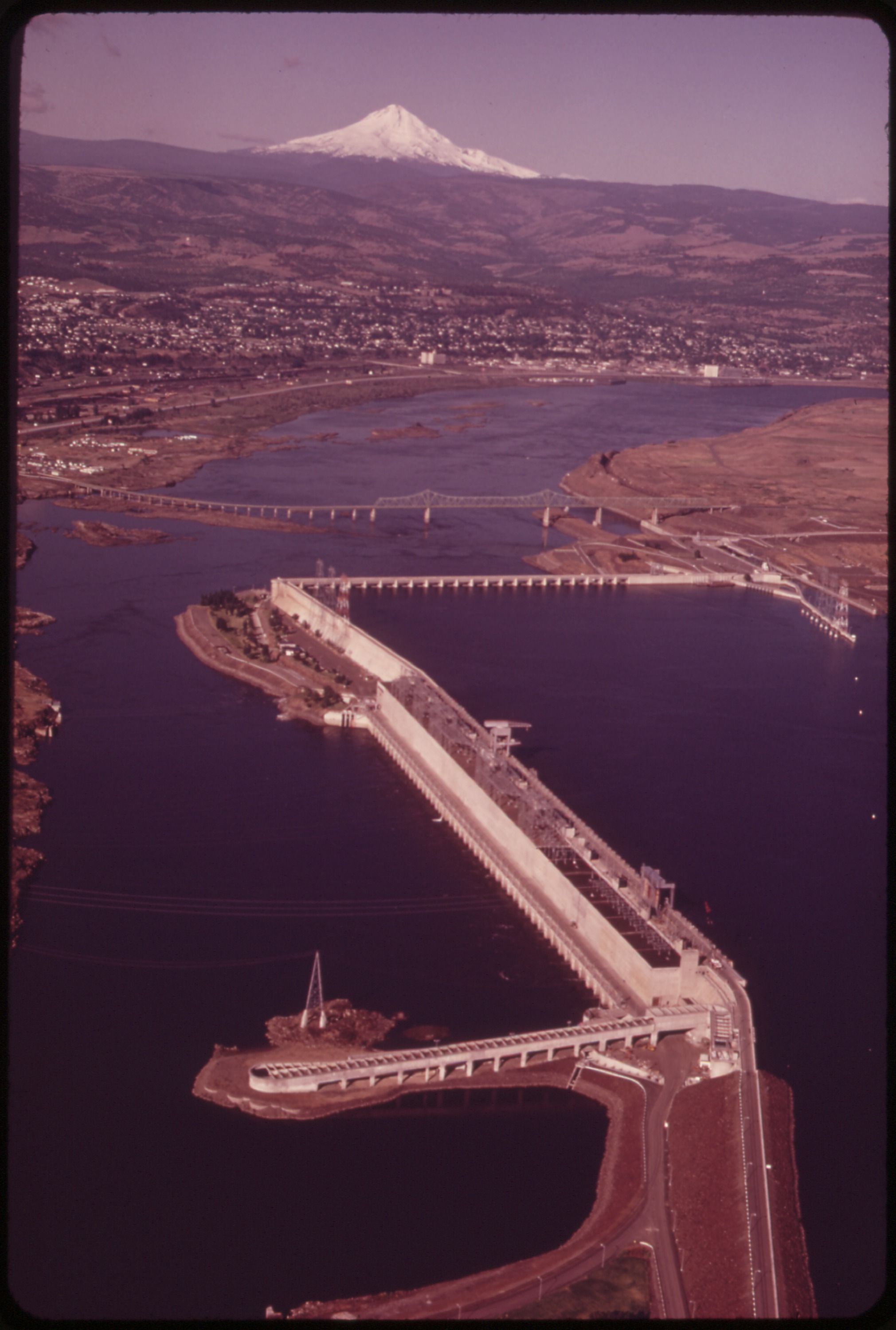
The Dalles Dam
The Dalles Dam, Washington shore · Klickitat County · completed 1957 · Columbia River
A Columbia River dam at river mile 192, completed in 1957, with the pin on the Washington shore of a project the Corps lists at The Dalles, Oregon.
- Geography & Geology
- History
The Fremont Troll
Fremont Troll · King County · Troll Day September 29, 1990 · Puget Sound
Neighbors voted a troll clutching a Volkswagen under the Aurora Bridge. City archives still have the ballots that said “Nice nose.”
- Pop Culture
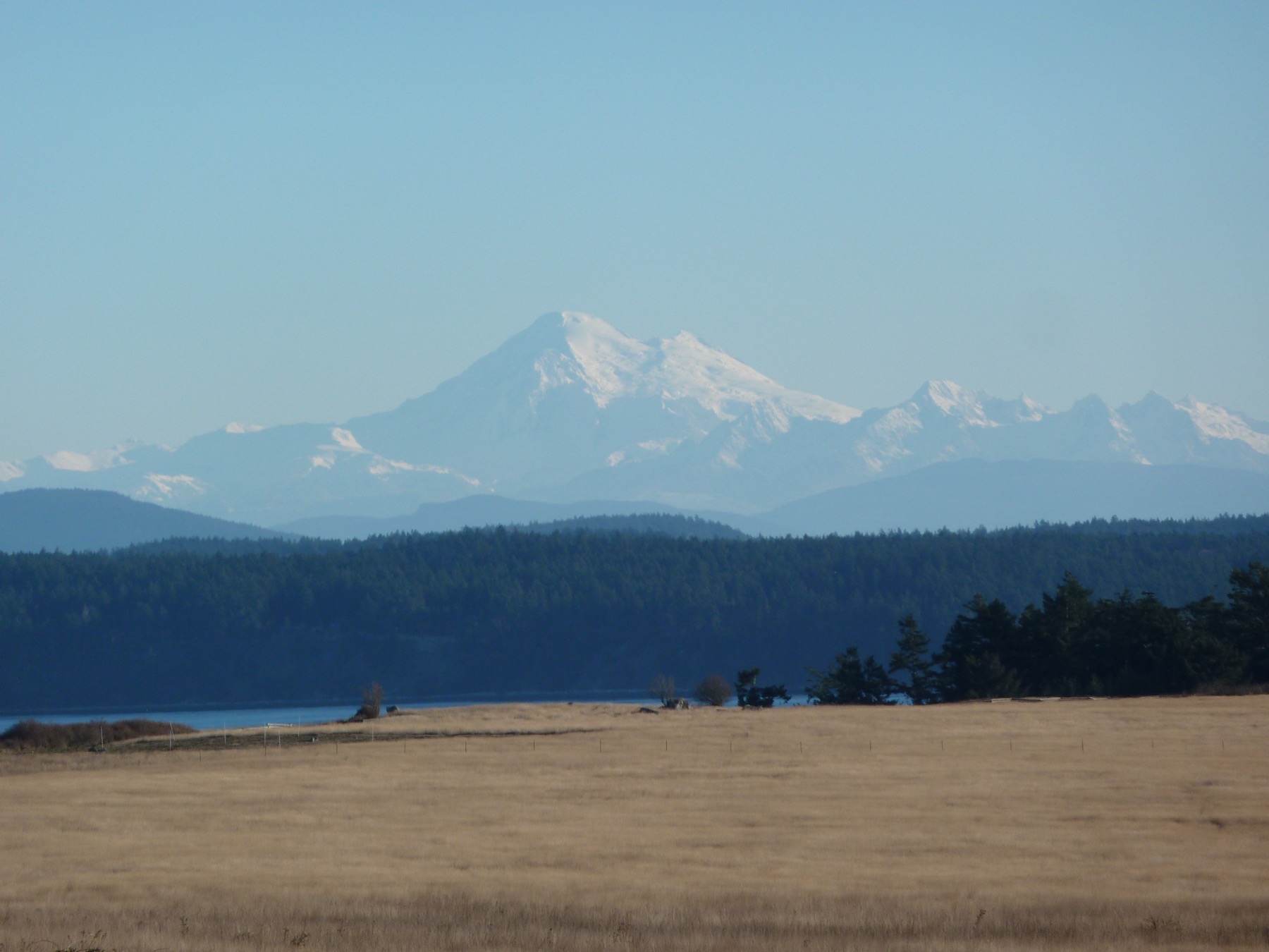
The Pig War
American Camp · San Juan County · 1859–1874 · Salish Sea
The United States and Great Britain nearly went to war over San Juan Island. The only casualty was a pig.
- History
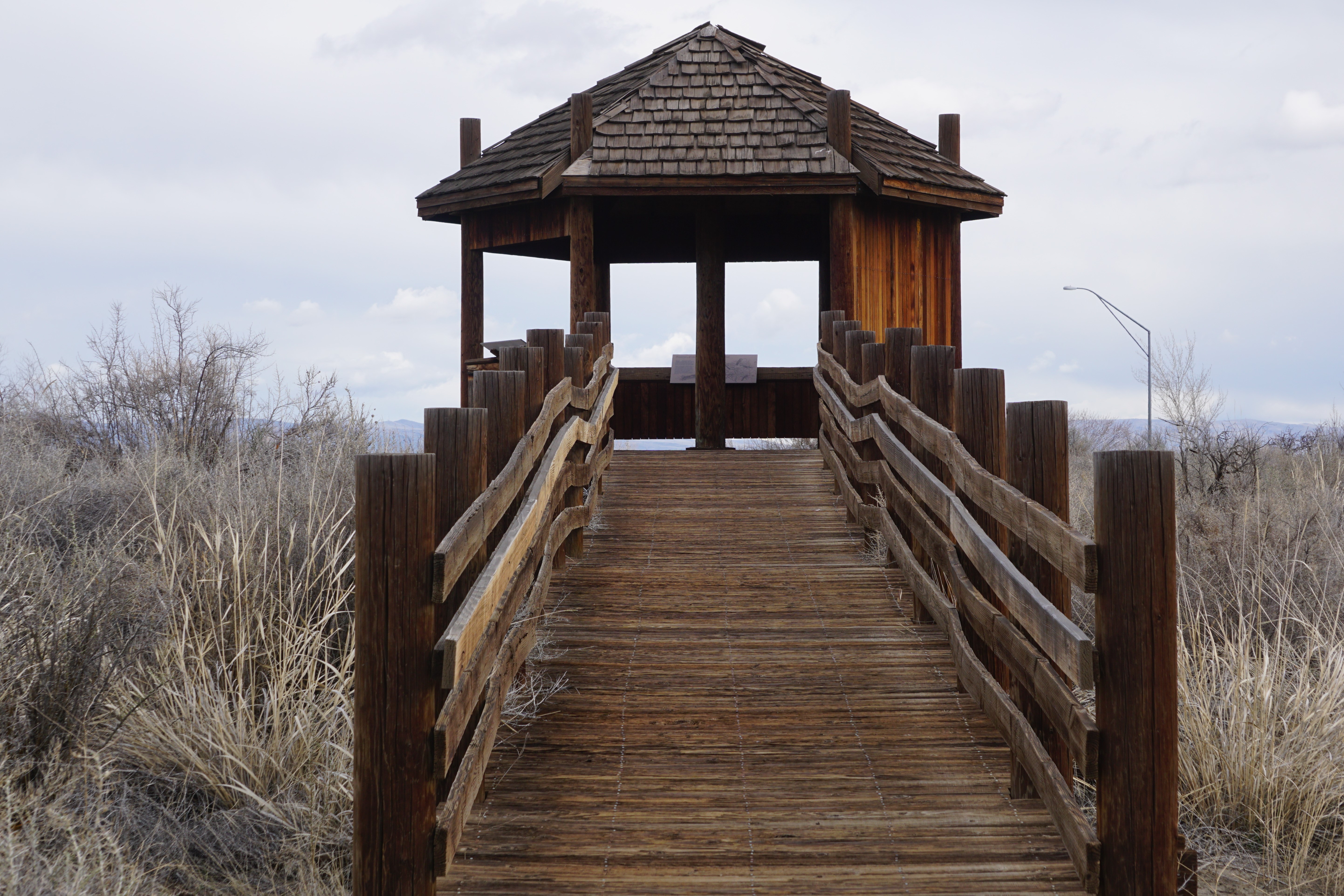
Toppenish National Wildlife Refuge
Toppenish National Wildlife Refuge · Yakima County · Columbia Basin
FWS manages 1,978 acres of Yakima Valley wetlands and shrub-steppe, spread along 27 miles of Toppenish Creek, as an inviolate sanctuary for migratory birds.
- Wildlife & Ecology
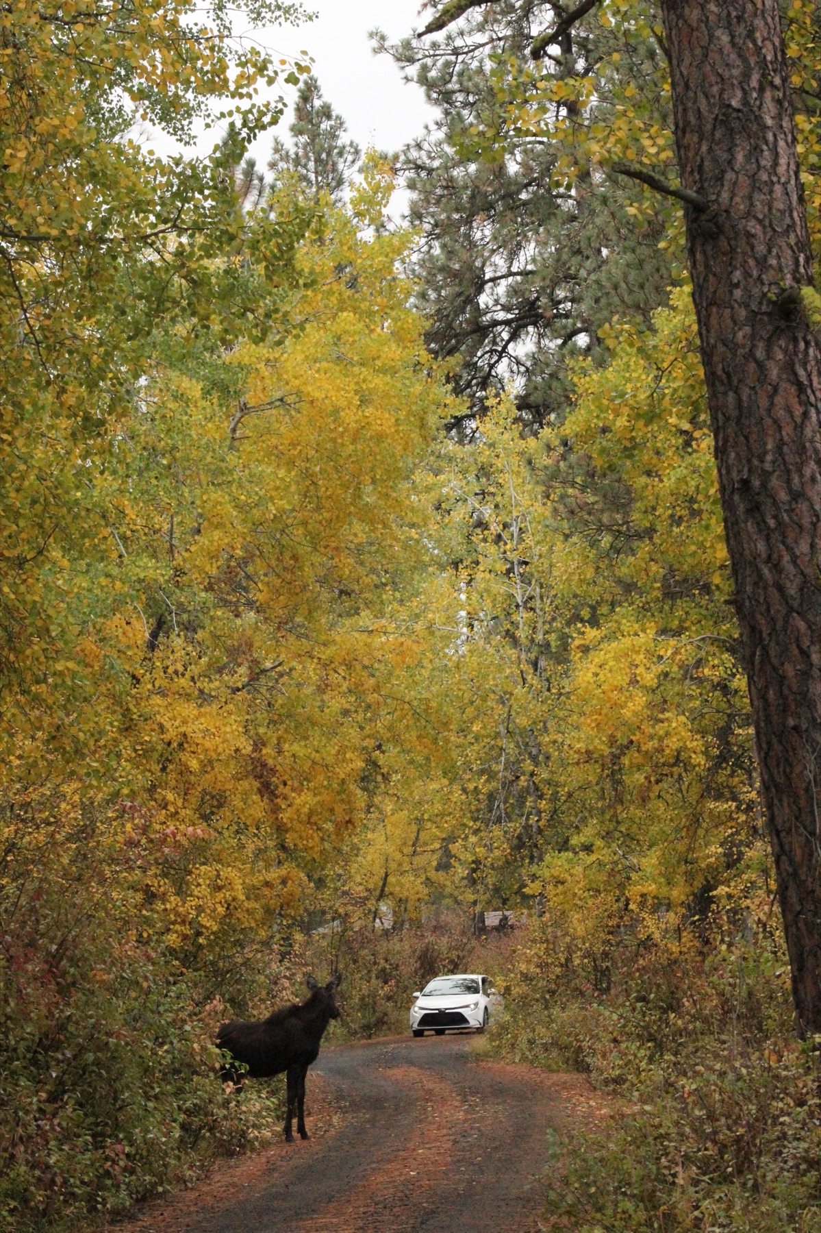
Turnbull National Wildlife Refuge
Turnbull National Wildlife Refuge · Spokane County · scablands scoured about 15,000 years ago · Columbia Basin
More than 23,000 acres of channeled scablands near Spokane hold pine, wetlands, and the only refuge landscape of its kind in the National Wildlife Refuge System.
- Geography & Geology
- Wildlife & Ecology
Twilight in Forks
Forks · Clallam County · first film 2008 · Olympic Peninsula
The vampires are fictional. The town is real. Almost none of the first movie was shot here — and visitors came anyway.
- Pop Culture
Twin Peaks in the Snoqualmie Valley
Snoqualmie Falls · King County · series 1990–1991 · Cascades
David Lynch filmed the town that was not a town — Snoqualmie, North Bend, and Fall City standing in for Twin Peaks.
- Pop Culture
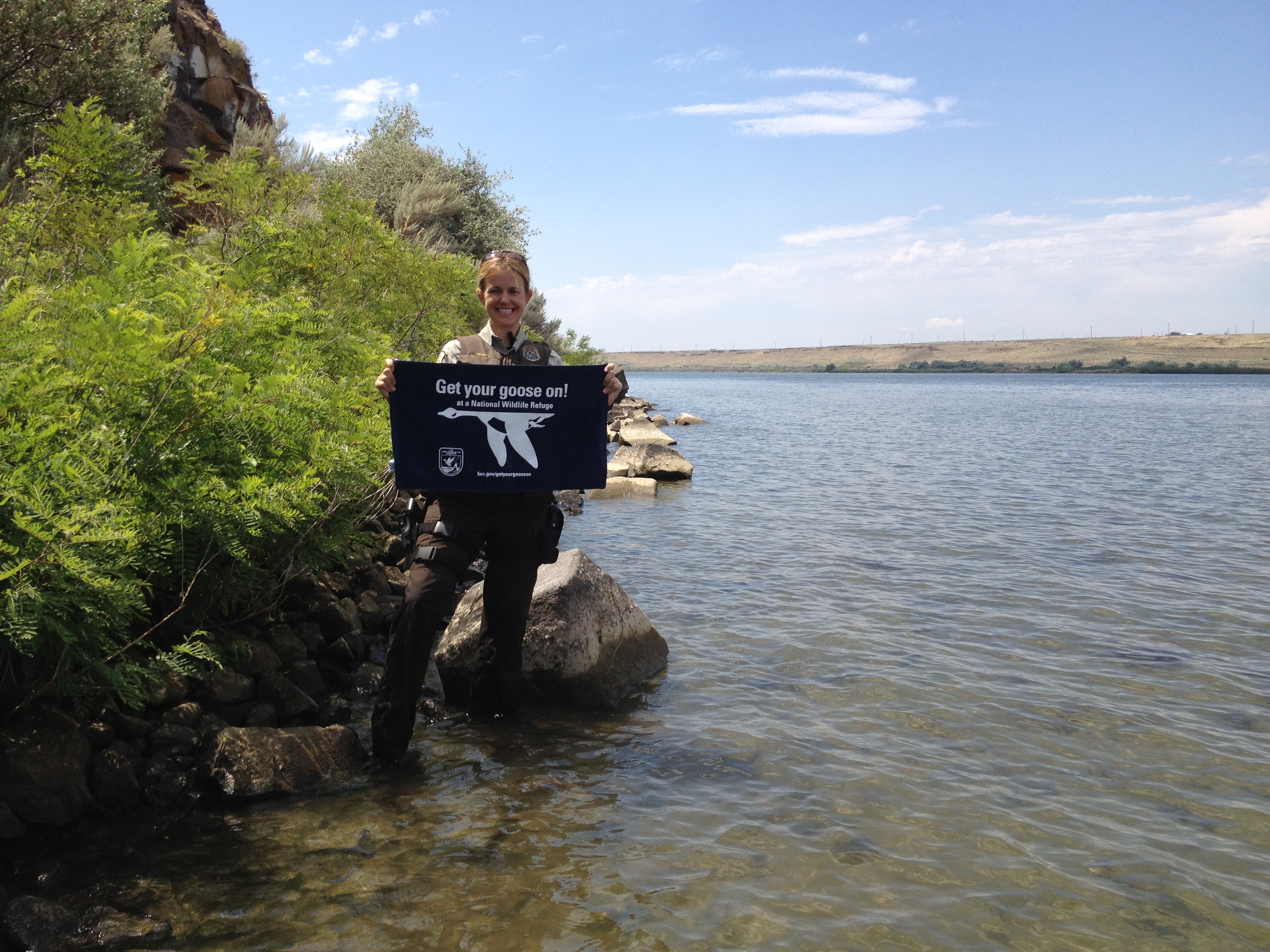
Umatilla National Wildlife Refuge
Umatilla National Wildlife Refuge · Benton County · established 1969 · Columbia Basin
23,555 acres on both shores of the Columbia — three units in Washington — created after John Day Dam flooded the river.
- Wildlife & Ecology
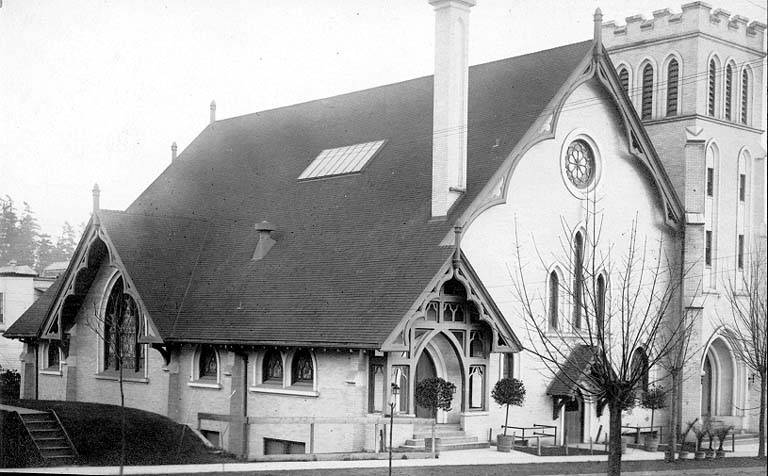
University District
University District · King County · campus 1895 · Puget Sound
Brooklyn voted itself into Seattle in 1891. Four years later the University of Washington moved in, and the streetcar stop became University Station.
- History
- Science / Strange Washington
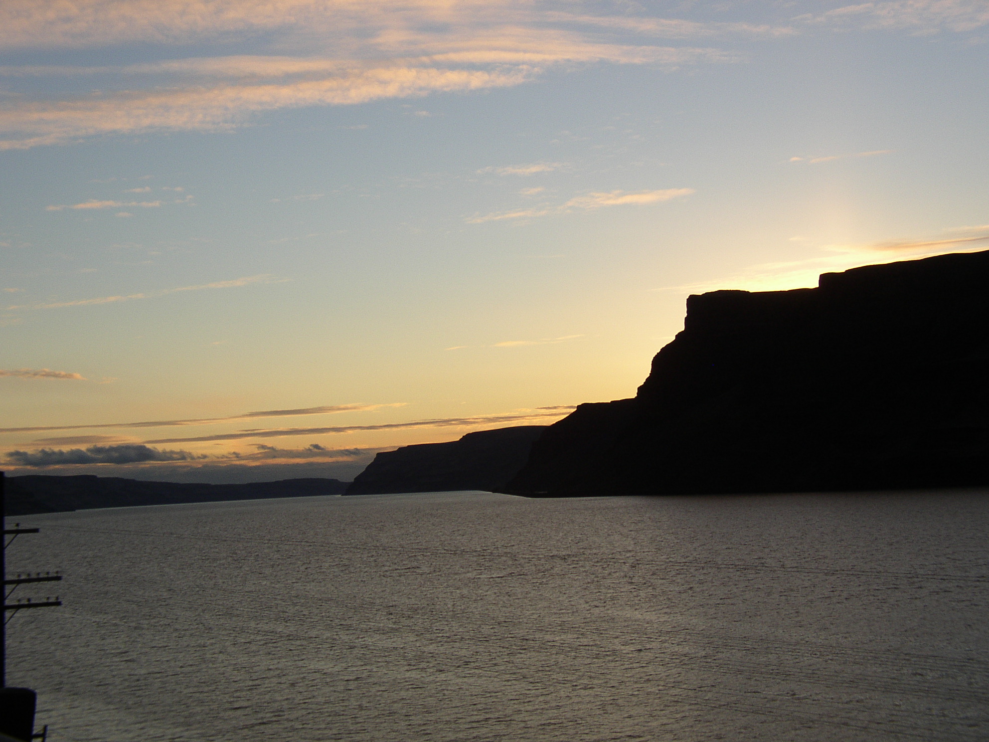
Wallula Gap
Wallula Gap · Walla Walla County · Ice Age floods · Columbia Basin
Ice Age floodwaters hit a two-mile gap that could not pass them all — and backed up into a temporary lake 900 feet deep.
- Geography & Geology
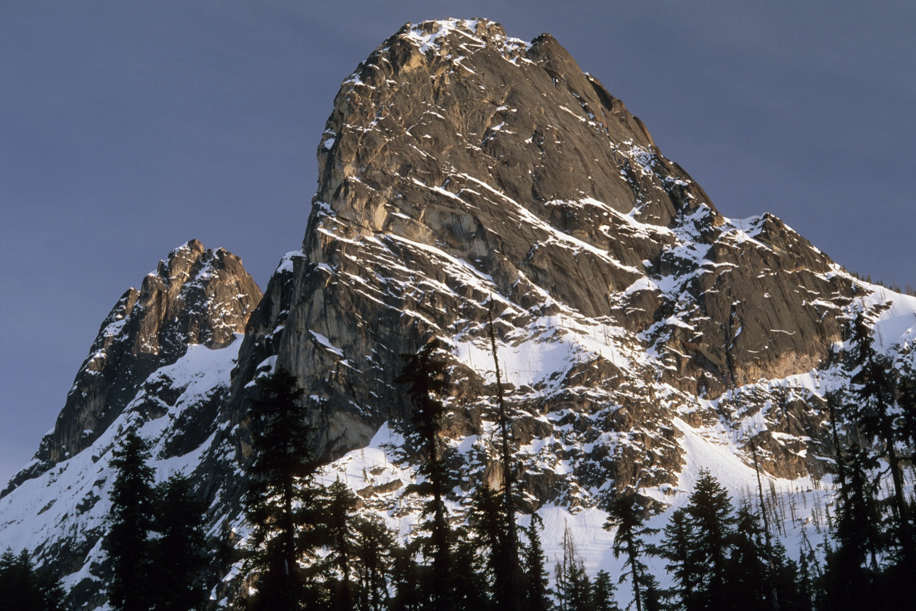
Washington Pass
Washington Pass Observation Site · Okanogan County · North Cascades Highway overlook · North Cascades
A 5,500-foot overlook on the North Cascades Highway looks across Liberty Bell, Early Winters Spires, and Kangaroo Ridge.
- Geography & Geology
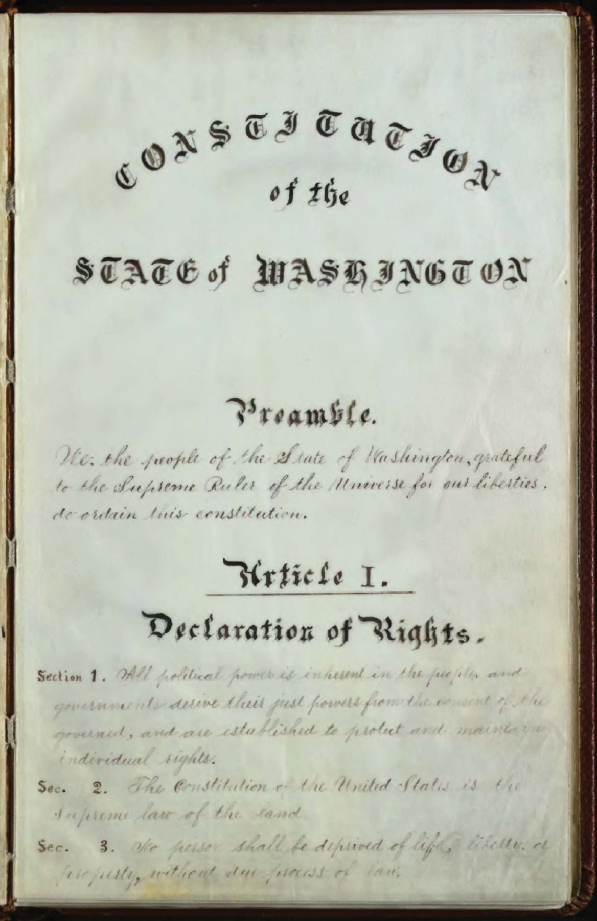
Washington Statehood, 1889
Olympia · Thurston County · November 11, 1889 · Puget Sound
President Harrison admitted Washington as the 42nd state on November 11, 1889, the only state named for a president.
- History
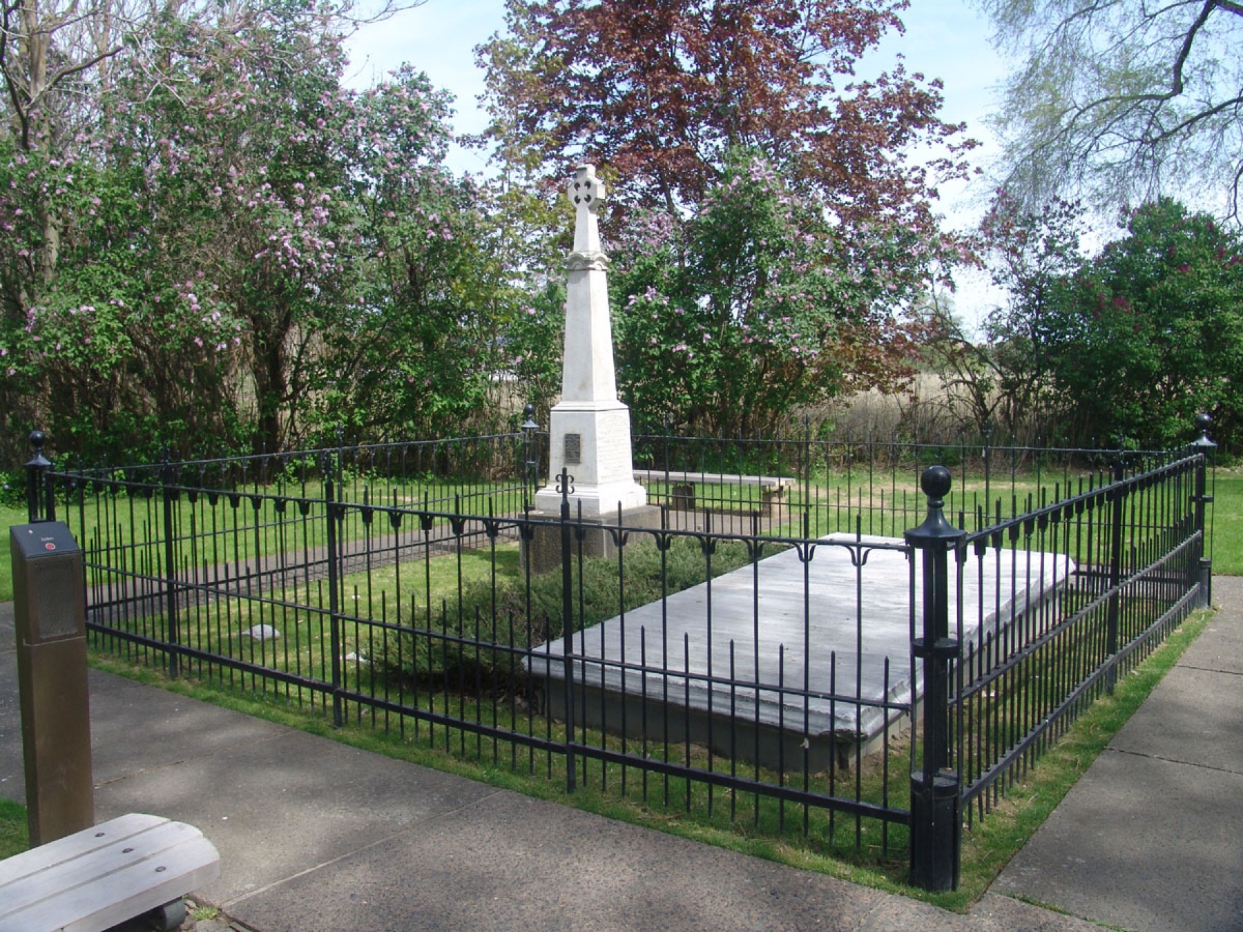
Whitman Mission
Whitman Mission National Historic Site · Walla Walla County · November 29, 1847 · Columbia Basin
An 1836 mission among the Cayuse ended on November 29, 1847, when a group of Cayuse attacked. NPS says fourteen people died, including Marcus and Narcissa.
- History
- Indigenous History & Place
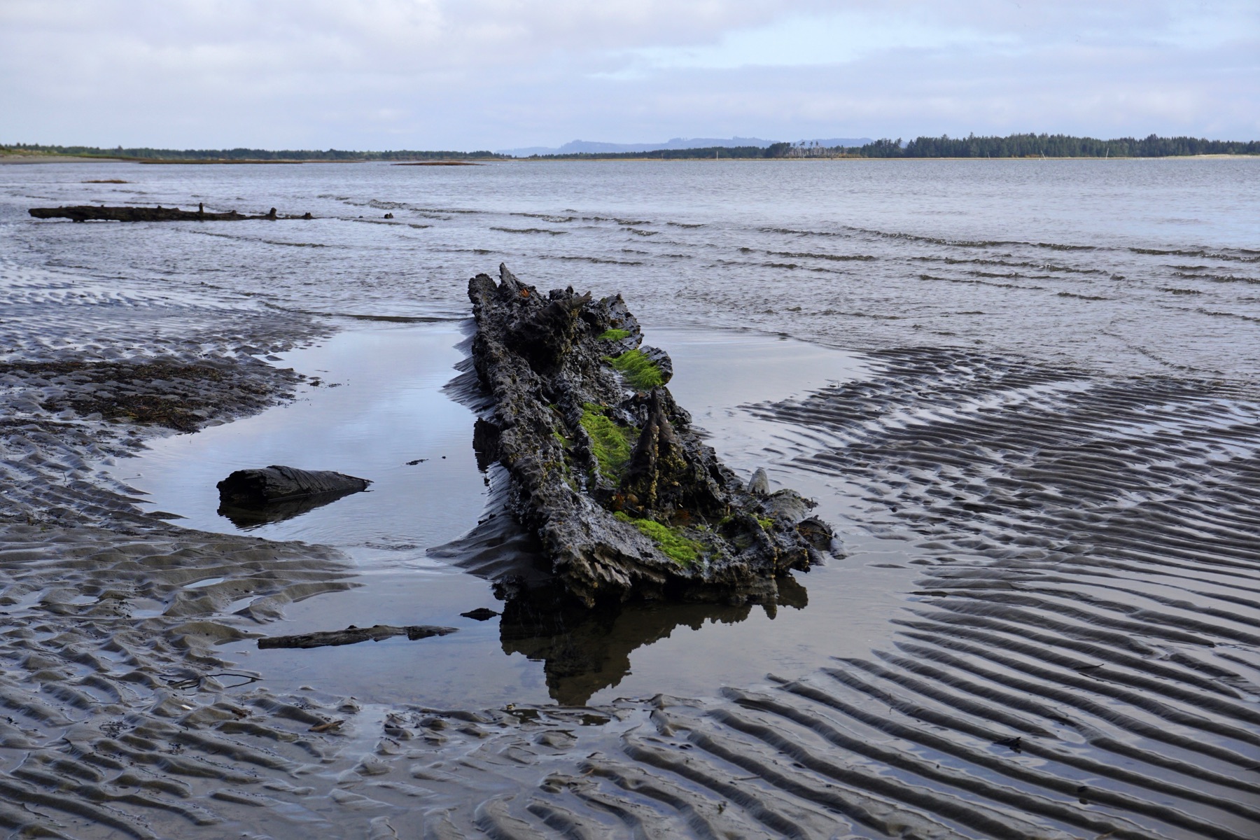
Willapa National Wildlife Refuge
Willapa National Wildlife Refuge · Pacific County · established January 12, 1937 · Southwest Washington
More than 21,000 acres of bay, forest, and tideflat in Pacific County began with a 196-acre purchase in 1936 and an executive order the next January.
- Wildlife & Ecology
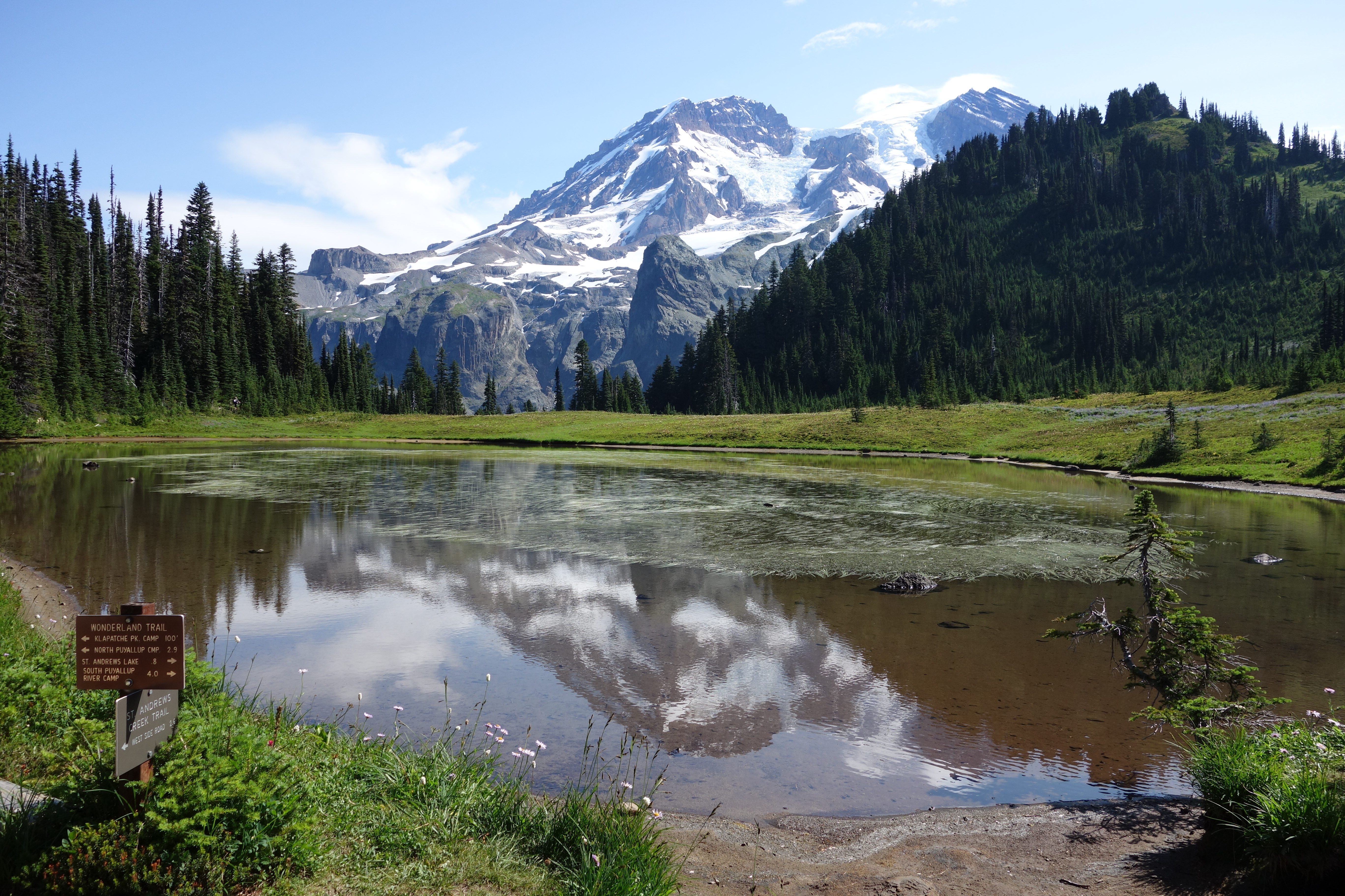
Wonderland Trail
Wonderland Trail at Longmire · Pierce County · Cascades
A 93-mile loop around Mount Rainier climbs and drops about 27,000 feet, through lowland forest and high meadows.
- Geography & Geology
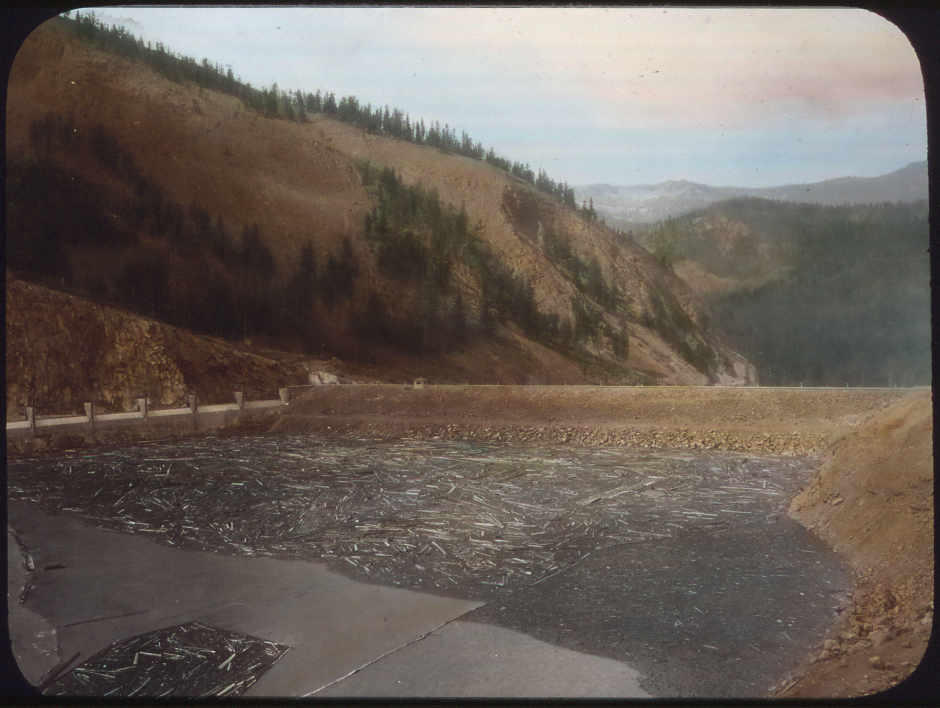
Yakima Project
Tieton Dam / Rimrock Lake · Yakima County · authorized 1905 · Yakima Valley
Reclamation’s 1905 irrigation project waters about 464,000 acres along 175 miles of the Yakima River, including 136,000 acres on the Wapato Division.
- Geography & Geology
- History
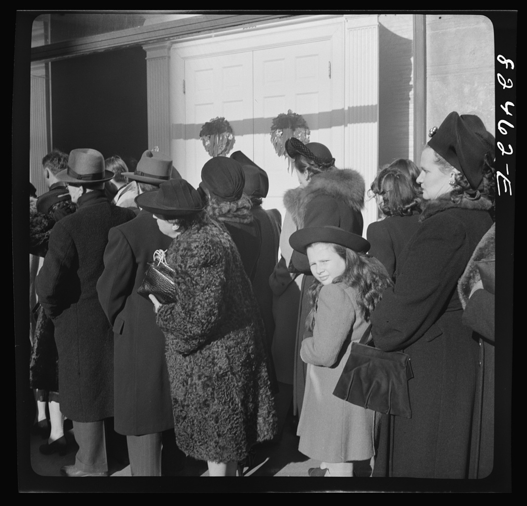
Yakima Valley Hops
Yakima Valley · Yakima County · Yakima County hops acreage, 2022 · Yakima Valley
USDA says Washington grows 71 percent of the nation's hops, and Yakima County alone had 32,488 acres in 2022.
- Geography & Geology
- History