From Washington to you
Lava Canyon
Lava Canyon Interpretive Site · Skamania County · mudflow-scoured canyon
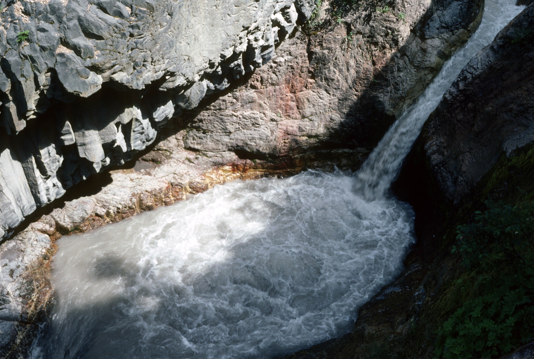
A mudflow-scoured canyon on the southeast side of Mount St. Helens drops a waterfall over ancient lava, with a trail that the Forest Service warns is not for going off-trail.
Lava Canyon Interpretive Site sits in Gifford Pinchot National Forest on the southeast side of Mount St. Helens. The Forest Service lists the site at 46.165998° N, 122.087105° W, elevation 3,000 feet. A mudflow scoured the canyon. A waterfall now drops over ancient lava.
Trail 184 is the interpretive route. The Forest Service warns of fatalities off-trail. A five-dollar vehicle fee or a valid pass is required. The site is in the Skamania, Lewis, and Cowlitz county area.
The canyon is one of the places where the 1980 eruption's aftermath is still easy to see in rock and water. The source below is the Forest Service page for the interpretive site.
- Geography & Geology
Sources (1)
government · Tier S
U.S. Forest ServiceLava Canyon Interpretive Site
Last reviewed: September 20, 2026
Keep wandering
nearby
Johnston Ridge ObservatoryThe observatory sits in the center of the 1980 blast zone, about 5 miles north of the crater, and is named for the USGS volcanologist who died on duty that morning.
same arc
Mount St. HelensOn a clear May morning, the north side of the mountain gave way.
nearby
Spirit LakeThe 1980 debris avalanche raised the lake 64 meters, blocked its outlet, and forced a bedrock tunnel so the water would not break out down the Toutle.