From Washington to you
Mount St. Helens
Mount St. Helens · Skamania County · May 18, 1980
On a clear May morning, the north side of the mountain gave way.
Before 1980, Mount St. Helens rose as a steep, symmetrical cone in the southern Cascades of Skamania County. That shape ended on May 18.
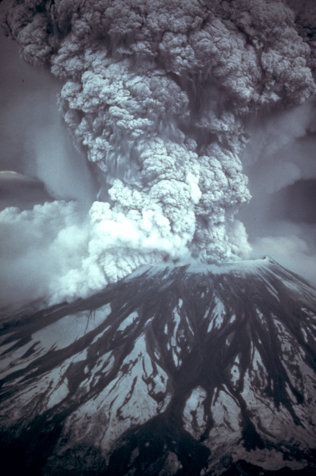
At 8:32 a.m. Pacific Daylight Time, a magnitude 5.1 earthquake accompanied the collapse of the volcano's bulging north flank. The landslide was the largest debris avalanche on Earth in recorded history. Most of it turned west down the North Fork Toutle River for about 14 miles.
Removal of that flank released pressure inside the volcano. A lateral blast roared north through what had been dense forest, and a Plinian eruption then ran for about nine hours. The debris avalanche took the upper 1,300 feet of the summit and left a horseshoe-shaped crater.
Ash blew east across Washington. Spokane, about 250 miles away, went dark in daytime. The mountain is still there — lower, open to the north, and one of five Washington volcanoes the state lists as high or very high threat. The sources below are the public USGS and Washington Geological Survey record of what happened.
- Geography & Geology
- History
Sources (3)
government · Tier S
U.S. Geological Survey1980 Cataclysmic Eruption
government · Tier S
Washington Department of Natural ResourcesVolcanoes and Lahars
government · Tier S
U.S. Geological SurveyMount St. Helens
Last reviewed: September 20, 2026
Keep wandering
nearby
Ape CaveA pahoehoe lava tube on the southwest flank of Mount St. Helens is the third longest in North America.
same arc
Cascadia Subduction ZoneA quiet plate boundary runs from California to British Columbia — and under Washington.
same arc
Glacier PeakWashington's most remote active volcano is easy to miss from the cities — and has produced some of the biggest eruptions in the Lower 48.
nearby
Johnston Ridge ObservatoryThe observatory sits in the center of the 1980 blast zone, about 5 miles north of the crater, and is named for the USGS volcanologist who died on duty that morning.
same arc
Mount RainierThe highest Cascade peak is also the most threatening volcano in the range — not for lava, but for mud.
nearby
Spirit LakeThe 1980 debris avalanche raised the lake 64 meters, blocked its outlet, and forced a bedrock tunnel so the water would not break out down the Toutle.