From Washington to you
Mount Rainier
Mount Rainier · Pierce County · last eruption about 1,000 years ago
The highest Cascade peak is also the most threatening volcano in the range — not for lava, but for mud.
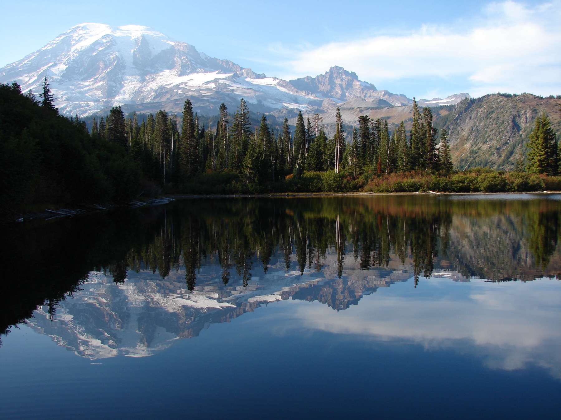
Mount Rainier is the highest peak in the Cascade Range: 4,392 meters, or 14,410 feet. USGS places it in Pierce County at 46.853° N, 121.76° W. It is a stratovolcano of andesite to dacite. The last magmatic eruption was about 1,000 years ago.
The National Volcano Early Warning System rates its threat potential as Very High. USGS calls it the most threatening volcano in the Cascades because of its height, hydrothermal alteration, icecap, glacier-fed valleys, and the suburbs of Seattle and Tacoma downstream.
The greatest risk is lahars — volcanic mudflows. They can start in an eruption or when weakened rock collapses, even without an eruption. Past lahars have reached the Puget Sound lowlands. The last large one, the Electron Mudflow, came off the west flank about 500 years ago with no known triggering eruption. The sources below are the public USGS record of the mountain and its hazards.
- Geography & Geology
- Science / Strange Washington
Sources (3)
government · Tier S
U.S. Geological SurveyMonitoring Lahars at Mount Rainier
government · Tier S
U.S. Geological SurveyVolcanic Hazards at Mount Rainier
government · Tier S
U.S. Geological SurveyMount Rainier
Last reviewed: September 20, 2026
Keep wandering
same park
American Pika at Mount RainierNPS has mapped about 900 talus sites at Mount Rainier for a rabbit relative that does not hibernate — and can die after two hours above 82.4°F.
same arc
Cascadia Subduction ZoneA quiet plate boundary runs from California to British Columbia — and under Washington.
same arc
Glacier PeakWashington's most remote active volcano is easy to miss from the cities — and has produced some of the biggest eruptions in the Lower 48.
same park
Mount Rainier GlaciersTwenty-eight major glaciers cover about 30 square miles of the mountain. Emmons is the largest in the Lower 48; Carbon ends the lowest.
same arc
Mount St. HelensOn a clear May morning, the north side of the mountain gave way.
same park
ParadiseMartha Longmire called this 5,400-foot meadow a paradise, and the park still measures about 640 inches of snow here in an average winter.
same park
SunriseAt 6,400 feet, this is the highest place a car can reach in Mount Rainier National Park, and it looks straight at Emmons Glacier.
same park
Wonderland TrailA 93-mile loop around Mount Rainier climbs and drops about 27,000 feet, through lowland forest and high meadows.