From Washington to you
Mount Rainier Glaciers
Emmons Glacier · Pierce County · northeast collapse about 5,600 years ago
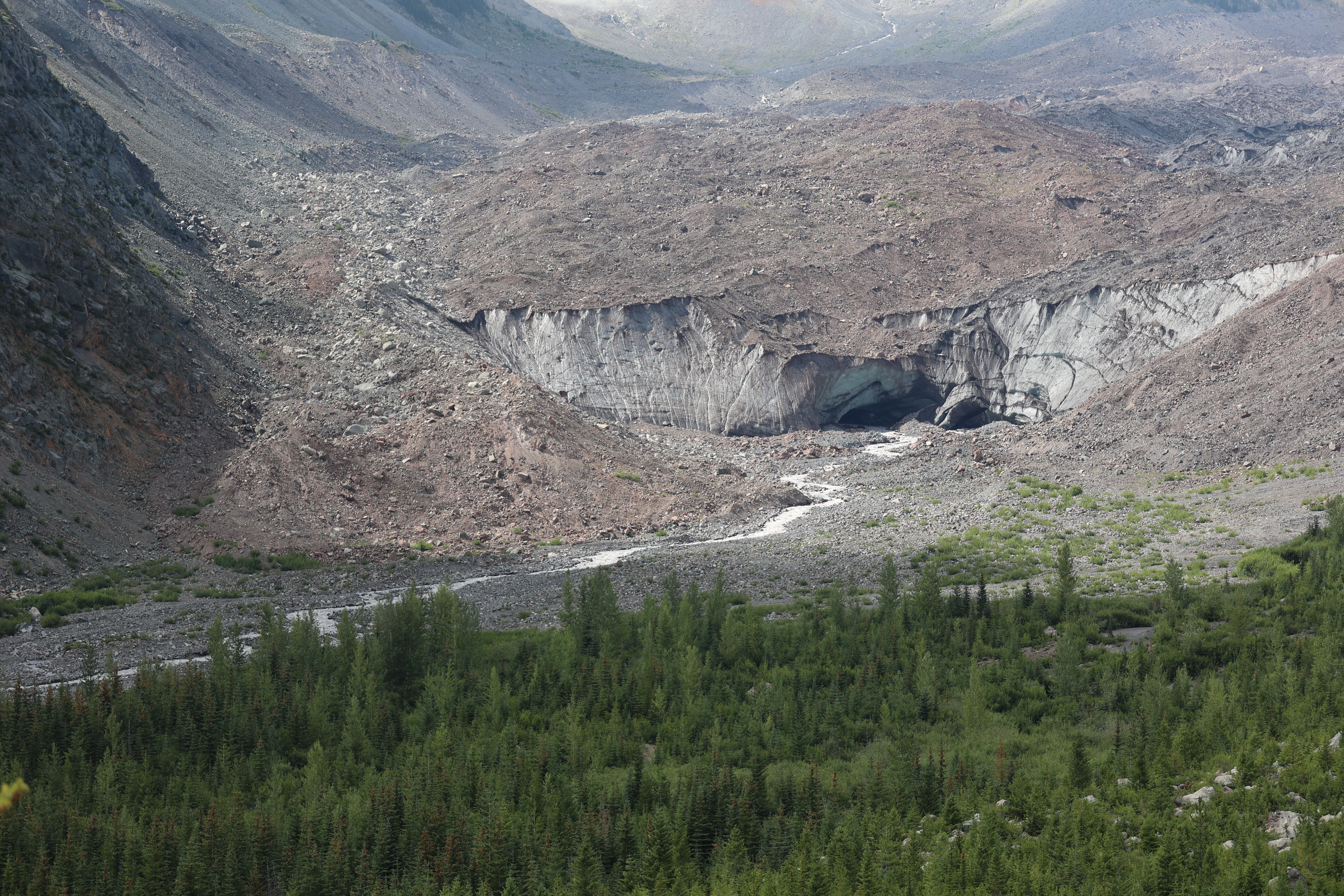
Twenty-eight major glaciers cover about 30 square miles of the mountain. Emmons is the largest in the Lower 48; Carbon ends the lowest.
Mount Rainier holds 28 major glaciers and numerous unnamed snow or ice patches, covering about 30 square miles (78 km²). They feed five major river systems and are, NPS says, important indicators of climatic change.
The Emmons Glacier has the largest area of any glacier in the contiguous 48 states: 4.3 square miles. The Carbon Glacier has the lowest terminus altitude, 3,600 feet. A 1963 rockslide off Little Tahoma covers part of Emmons and, NPS says, insulates the ice and slows its melt. The glacier also fills part of the scar of a collapse on the northeast side of the mountain about 5,600 years ago.
Glacial outburst floods have sent debris flows down park valleys. A flood from the South Tahoma Glacier created a debris flow along Tahoma Creek on August 13, 2015. The sources below are Mount Rainier National Park glacier and Sunrise geology pages.
- Geography & Geology
- Science / Strange Washington
Sources (2)
government · Tier S
National Park ServiceSunrise
government · Tier S
National Park ServiceGlaciers
Last reviewed: September 21, 2026
Keep wandering
same park
Mount RainierThe highest Cascade peak is also the most threatening volcano in the range — not for lava, but for mud.
same park
ParadiseMartha Longmire called this 5,400-foot meadow a paradise, and the park still measures about 640 inches of snow here in an average winter.
same park
SunriseAt 6,400 feet, this is the highest place a car can reach in Mount Rainier National Park, and it looks straight at Emmons Glacier.
same park
Wonderland TrailA 93-mile loop around Mount Rainier climbs and drops about 27,000 feet, through lowland forest and high meadows.