From Washington to you
Spirit Lake
Spirit Lake · Skamania County · raised 64 meters on May 18, 1980
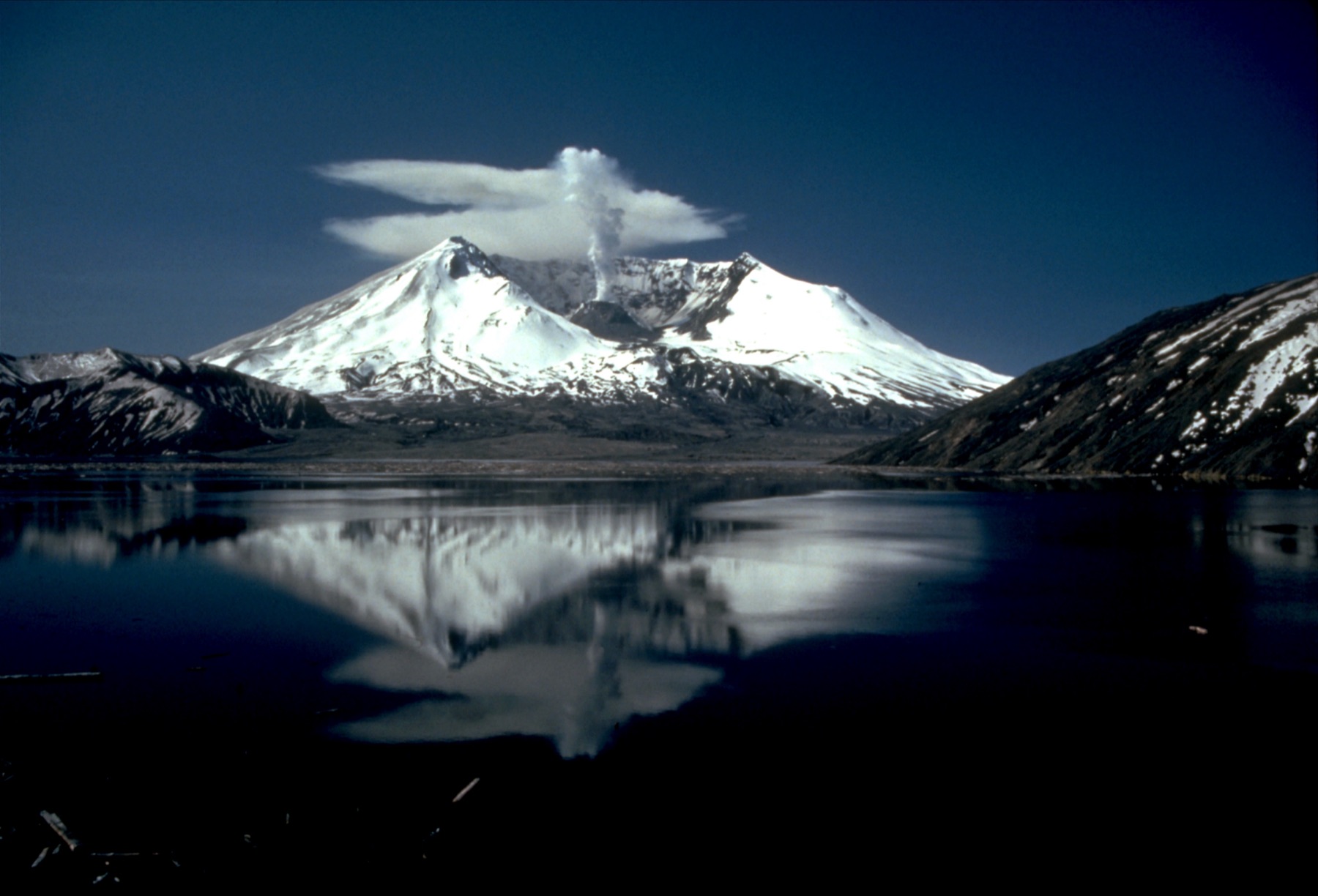
The 1980 debris avalanche raised the lake 64 meters, blocked its outlet, and forced a bedrock tunnel so the water would not break out down the Toutle.
In early 1980, Spirit Lake was the source of the North Fork Toutle River. That changed when the May 18 debris avalanche deposit blocked the outlet and caused the volcano's newly formed crater to become the source of the river. The debris avalanche raised the surface elevation of Spirit Lake 64 m (210 ft) and filled its natural outlet to a depth of 84 m (276 ft).
Without an outlet, runoff from rain and snow caused the lake level to continue to rise, which threatened to breach the unstable blockage. USGS describes Spirit Lake as an intermittent lake that has been repeatedly dammed by volcanic material. It is believed that pyroclastic flows around 3,350 years ago first dammed the river to form the lake.
In November 1982 a pumping station and pipeline were installed to regulate the rising level. In May 1985, the tunnel connecting Spirit Lake and South Coldwater Creek was opened. USGS says that tunnel allows water to drain safely and maintain the lake's water level 100 ft (30 m) below the estimated overtopping level.
- Geography & Geology
- Science / Strange Washington
Sources (1)
government · Tier S
U.S. Geological SurveyLakes and Drainages Around Mount St. Helens
Last reviewed: September 20, 2026
Keep wandering
nearby
Ape CaveA pahoehoe lava tube on the southwest flank of Mount St. Helens is the third longest in North America.
nearby
Johnston Ridge ObservatoryThe observatory sits in the center of the 1980 blast zone, about 5 miles north of the crater, and is named for the USGS volcanologist who died on duty that morning.
same arc
Mount St. HelensOn a clear May morning, the north side of the mountain gave way.