From Washington to you
Cascade Pass
Cascade Pass · Skagit County
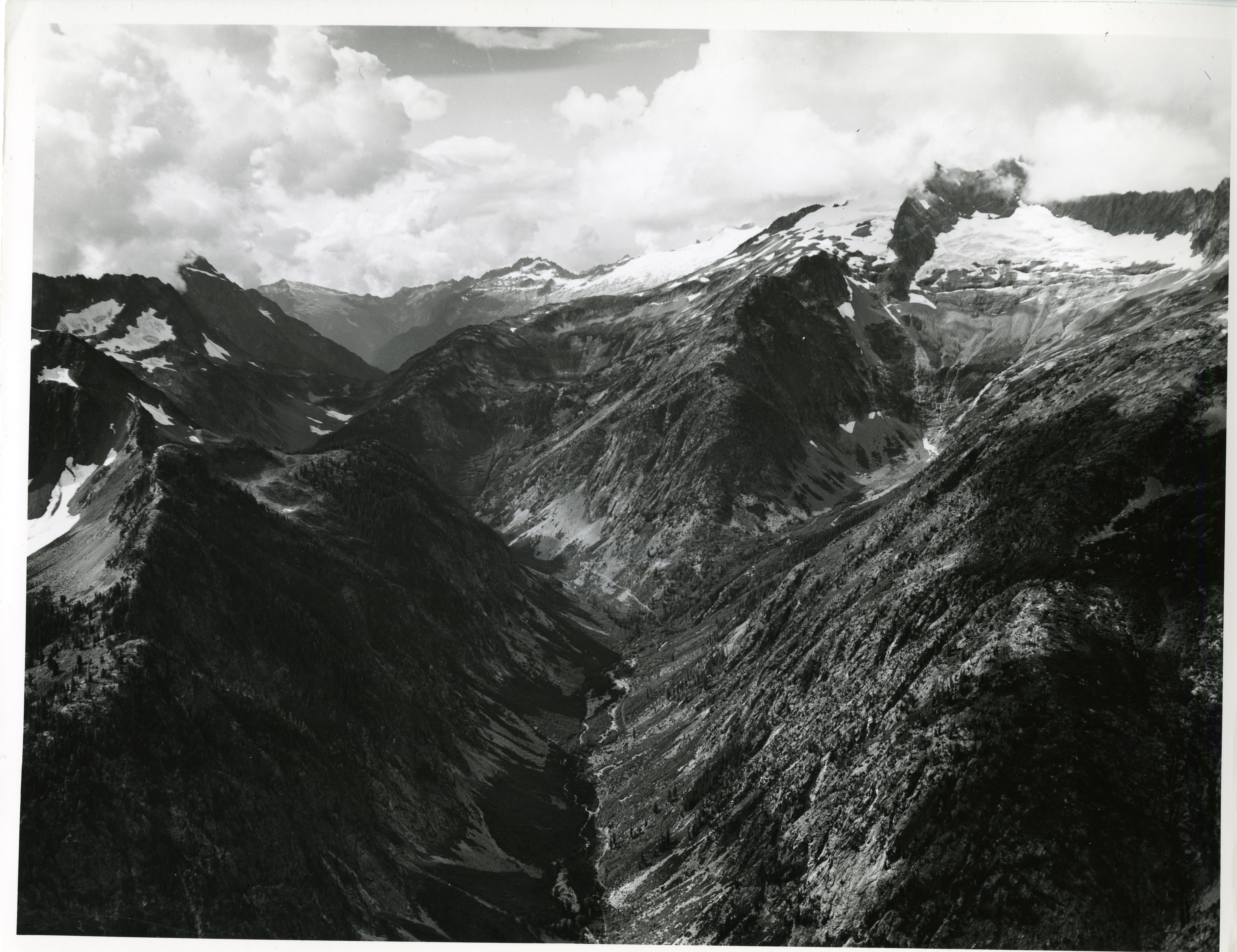
North Cascades' most popular day hike climbs 3.7 miles and 1,700 feet to a pass that once carried travelers through the range.
The Cascade Pass Trail is 3.7 miles (6 km) one way from the trailhead, with 1,700 feet (518 m) of elevation gain. NPS calls it the most popular day hike in North Cascades National Park and the shortest, easiest access in the park to alpine country.
Cascade River Road leaves State Route 20 at Marblemount and runs 23.1 miles (37 km) to the trailhead. The road typically opens by the end of June. From the pass, the Sahale Arm Trail continues to the base of the Sahale Glacier — 5.9 miles (9.5 km) and 3,940 feet (1,201 m) of gain from the trailhead. Stehekin is a 23-mile (37 km) hike from the parking lot to High Bridge.
NPS says Native Americans used this route as a passage through the Cascades. In 1811, fur trader Alexander Ross explored the route. Pets are not allowed. There is no camping at the pass itself. The sources below are North Cascades National Park pages.
- Geography & Geology
- Indigenous History & Place
Sources (1)
government · Tier S
National Park ServiceCascade Pass / Sahale Arm Trail
Last reviewed: September 21, 2026
Keep wandering
nearby
Diablo LakeThe turquoise is not dye. It is rock, ground to flour by ice and held in a reservoir.
nearby
Glacier PeakWashington's most remote active volcano is easy to miss from the cities — and has produced some of the biggest eruptions in the Lower 48.
same park
North Cascades National ParkNPS calls this the most heavily glaciated area in the United States outside Alaska, with more than 300 glaciers on the high peaks.
nearby
StehekinA roadless village at the head of Lake Chelan takes its name from Salishan words NPS translates as "the way through," "turning around place," or "mountain tops."