From Washington to you
Palouse Falls
Palouse Falls · Franklin County · carved more than 13,000 years ago
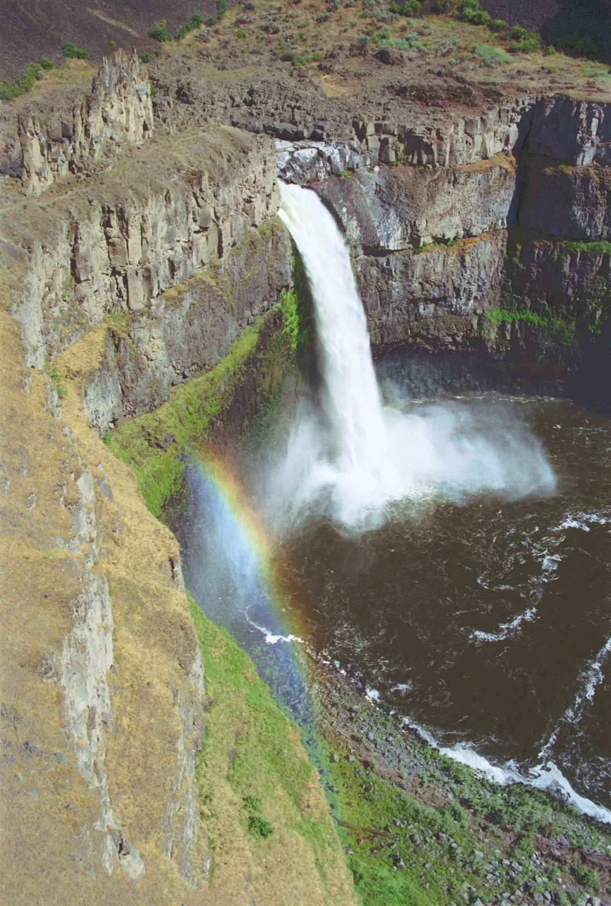
A 200-foot drop in a Palouse coulee is the state waterfall, carved when Ice Age floods rerouted a river from the Columbia to the Snake.
Palouse Falls State Park sits in the channeled scablands, where Ice Age floodwaters carved the Palouse River canyon more than 13,000 years ago. NPS says the falls drop 200 feet (61 meters). Below the lip, the river zigzags about six miles (9.7 kilometers) through a 300-foot (91-meter) coulee.
The same floods rerouted the ancestral Palouse River from the Columbia to the Snake. In 2014 the falls became Washington's official state waterfall after a bill that began with schoolchildren. Viewpoints are 2.3 miles (3.7 kilometers) east of State Route 261.
The park is a stop on the Ice Age Floods National Geologic Trail. The sources below are the National Park Service accounts of the falls and the trail brochure.
- Geography & Geology
Sources (2)
government · Tier S
National Park ServicePark Brochure — Ice Age Floods National Geologic Trail
government · Tier S
National Park ServicePalouse Falls State Park
Last reviewed: September 20, 2026
Keep wandering
same landscape
Drumheller ChannelsA cascade of buttes and basins west of Othello is the Ice Age Floods landscape the National Park Service calls the most spectacular of its kind.
same landscape
Dry FallsA 3.5-mile cliff in the Grand Coulee is the lip of a waterfall that once dwarfed Niagara.
same arc
Ice Age FloodsNPS says that 18,000 to 15,000 years ago an ice dam in northern Idaho failed, sending Glacial Lake Missoula across Washington and down the Columbia.