From Washington to you
Columbia Basin Project
Columbia Basin Project · Grant County · authorized 1943
Reclamation's irrigation project now serves about 671,000 acres in east-central Washington, roughly two-thirds of the land Congress authorized in 1943.
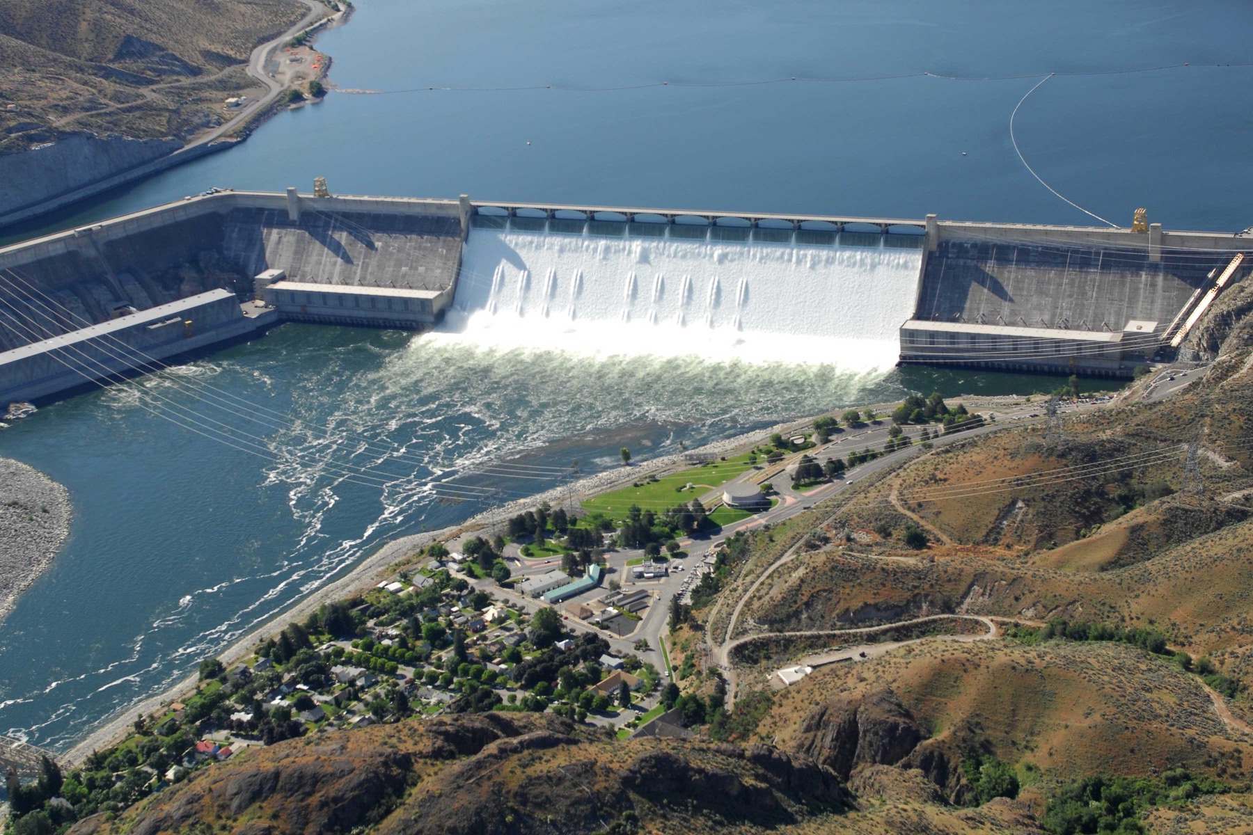
The Columbia Basin Project serves about 671,000 acres — about 65 percent of the 1,029,000 acres authorized — in Grant, Lincoln, Adams, and Franklin counties, with land in Douglas County on the north. Congress authorized the project in 1943. The main works include Grand Coulee Dam, Franklin D. Roosevelt Lake, three power plants, and a pump-generating plant.
Primary irrigation works include the Feeder Canal, Banks Lake, the Main, West, East High, and East Low canals, O'Sullivan Dam, Potholes Reservoir, and Potholes Canal. Reclamation lists over 300 miles of main canals, about 2,000 miles of laterals, and 3,500 miles of drains and wasteways. The first irrigation water near Pasco reached about 5,400 acres in 1948. Water from Grand Coulee reached about 66,000 acres in spring 1952.
Irrigators use about 2.5 million acre-feet of Columbia River water a year, plus about 1 million acre-feet reused. The source below is the Bureau of Reclamation Columbia Basin Project page.
- Geography & Geology
- History
Sources (1)
government · Tier S
U.S. Bureau of ReclamationColumbia Basin Project
Last reviewed: September 20, 2026
Keep wandering
same arc
Banks LakeReclamation's equalizing reservoir for the Columbia Basin Project sits behind the Feeder Canal from Grand Coulee, the first stop for irrigation water heading south.
same arc
Grand Coulee DamA Depression-era dam turned the Columbia into irrigation, power, and a 151-mile lake.
same arc
Lake RooseveltThe reservoir behind Grand Coulee Dam is officially Franklin D. Roosevelt Lake, a long pool NPS says is the largest reservoir in the Pacific Northwest.
same arc
Yakima ProjectReclamation’s 1905 irrigation project waters about 464,000 acres along 175 miles of the Yakima River, including 136,000 acres on the Wapato Division.