From Washington to you
Banks Lake
Banks Lake · Grant County · Grand Coulee irrigation water, spring 1952
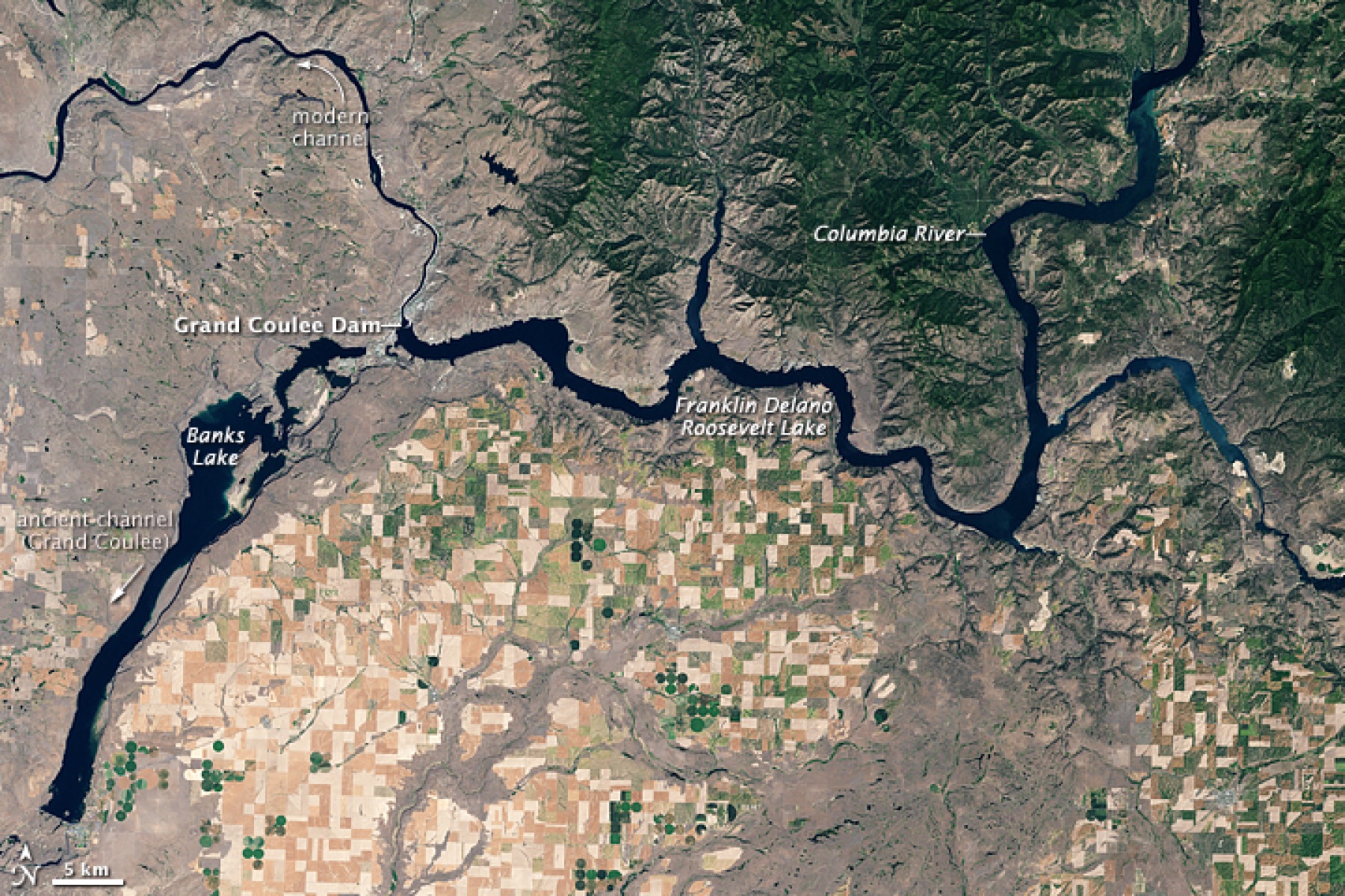
Reclamation's equalizing reservoir for the Columbia Basin Project sits behind the Feeder Canal from Grand Coulee, the first stop for irrigation water heading south.
Banks Lake is a primary irrigation work of the Columbia Basin Project. The Bureau of Reclamation lists it with the Feeder Canal that carries Columbia River water from Grand Coulee Dam into the reservoir. From Banks Lake the Main, West, East High, and East Low canals take water south into the irrigated counties.
Congress authorized the Columbia Basin Project in 1943. Irrigation water first left Grand Coulee for about 66,000 acres in spring 1952. This card is the reservoir, not the whole project. The project-wide story is a separate file.
The photograph is a Historic American Engineering Record view of the feeder works. The source below is the Bureau of Reclamation Columbia Basin Project page.
- Geography & Geology
- History
Sources (1)
government · Tier S
U.S. Bureau of ReclamationColumbia Basin Project
Last reviewed: September 20, 2026
Keep wandering
same arc
Columbia Basin ProjectReclamation's irrigation project now serves about 671,000 acres in east-central Washington, roughly two-thirds of the land Congress authorized in 1943.
nearby
Dry FallsA 3.5-mile cliff in the Grand Coulee is the lip of a waterfall that once dwarfed Niagara.
nearby
Grand CouleeA dry canyon about 50 miles long holds the geologic story of a river that lost its channel — until people flooded part of it as Banks Lake.
nearby
Grand Coulee DamA Depression-era dam turned the Columbia into irrigation, power, and a 151-mile lake.