From Washington to you
Grand Coulee
Grand Coulee · Grant County · Ice Age floods
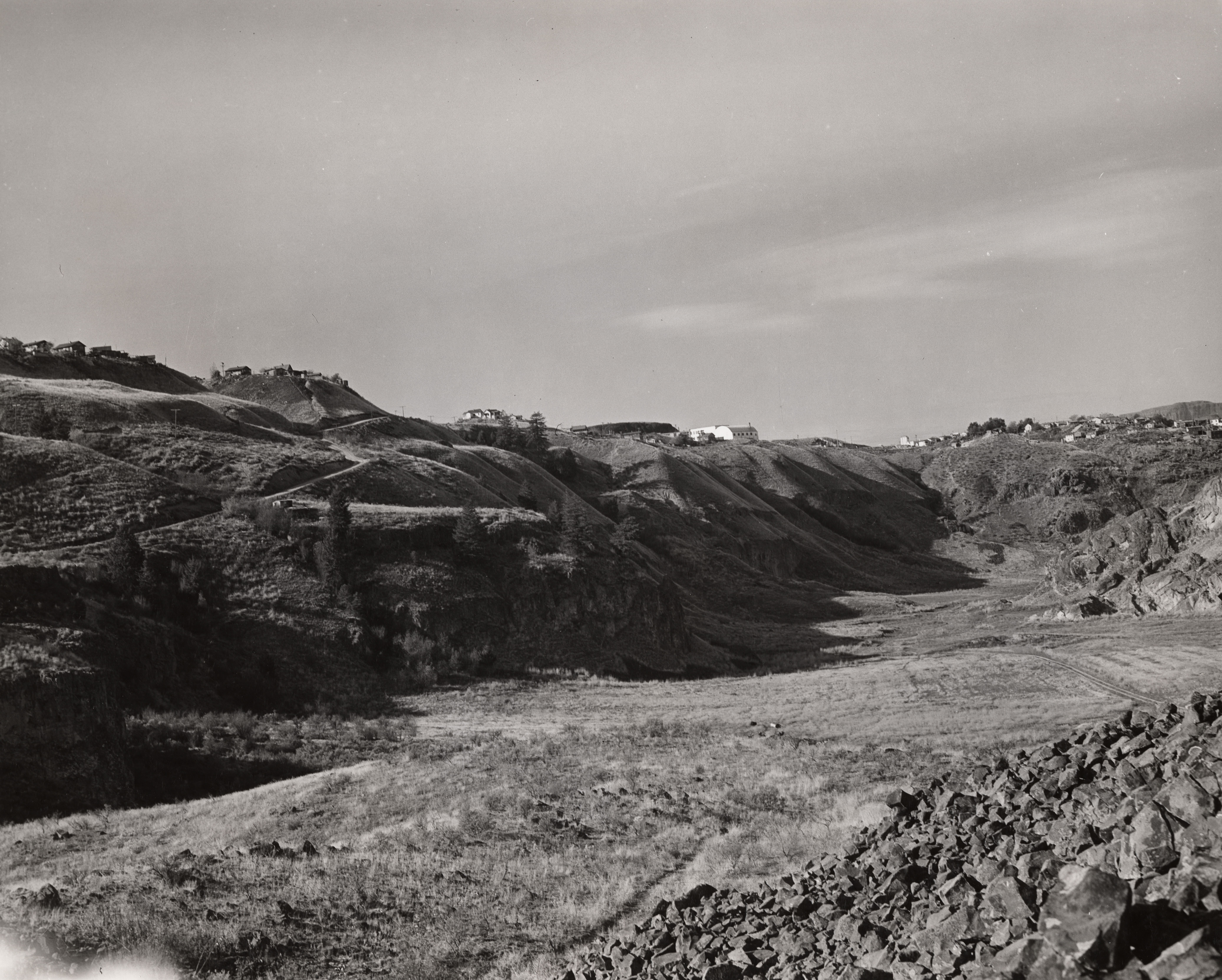
A dry canyon about 50 miles long holds the geologic story of a river that lost its channel — until people flooded part of it as Banks Lake.
Grand Coulee is a National Natural Landmark on the Ice Age Floods trail. NPS says this geologic feature is approximately 81 kilometers (50 miles) long. From Dry Falls State Park, about 5 miles southwest of Coulee City, visitors can see much of the evidence.
The landmark page walks through a series of events: the ancestral Columbia flowed through a low range of granite mountains; lava built the Columbia Plateau and diverted the river; ice advanced and receded; a new course was cut; waterfalls formed and retreated; and the Columbia returned to its present channel, leaving the Coulee high and dry until part of it was turned into a reservoir by damming.
That reservoir is Banks Lake, behind Dry Falls Dam, fed from Grand Coulee Dam. This card is the canyon. The dam and the lake are separate cards. The source below is the National Park Service landmark page.
- Geography & Geology
Sources (1)
government · Tier S
National Park ServiceGrand Coulee National Natural Landmark
Last reviewed: September 21, 2026
Keep wandering
nearby
Banks LakeReclamation's equalizing reservoir for the Columbia Basin Project sits behind the Feeder Canal from Grand Coulee, the first stop for irrigation water heading south.
nearby
Dry FallsA 3.5-mile cliff in the Grand Coulee is the lip of a waterfall that once dwarfed Niagara.
nearby
Grand Coulee DamA Depression-era dam turned the Columbia into irrigation, power, and a 151-mile lake.
same landscape
Ice Age FloodsNPS says that 18,000 to 15,000 years ago an ice dam in northern Idaho failed, sending Glacial Lake Missoula across Washington and down the Columbia.