From Washington to you
Columbia National Wildlife Refuge
Columbia National Wildlife Refuge · Grant County · 1944
Ice Age floods tore coulees through this desert. Irrigation seepage later filled the holes, and a 1944 refuge now winters ducks, geese, and sandhill cranes.
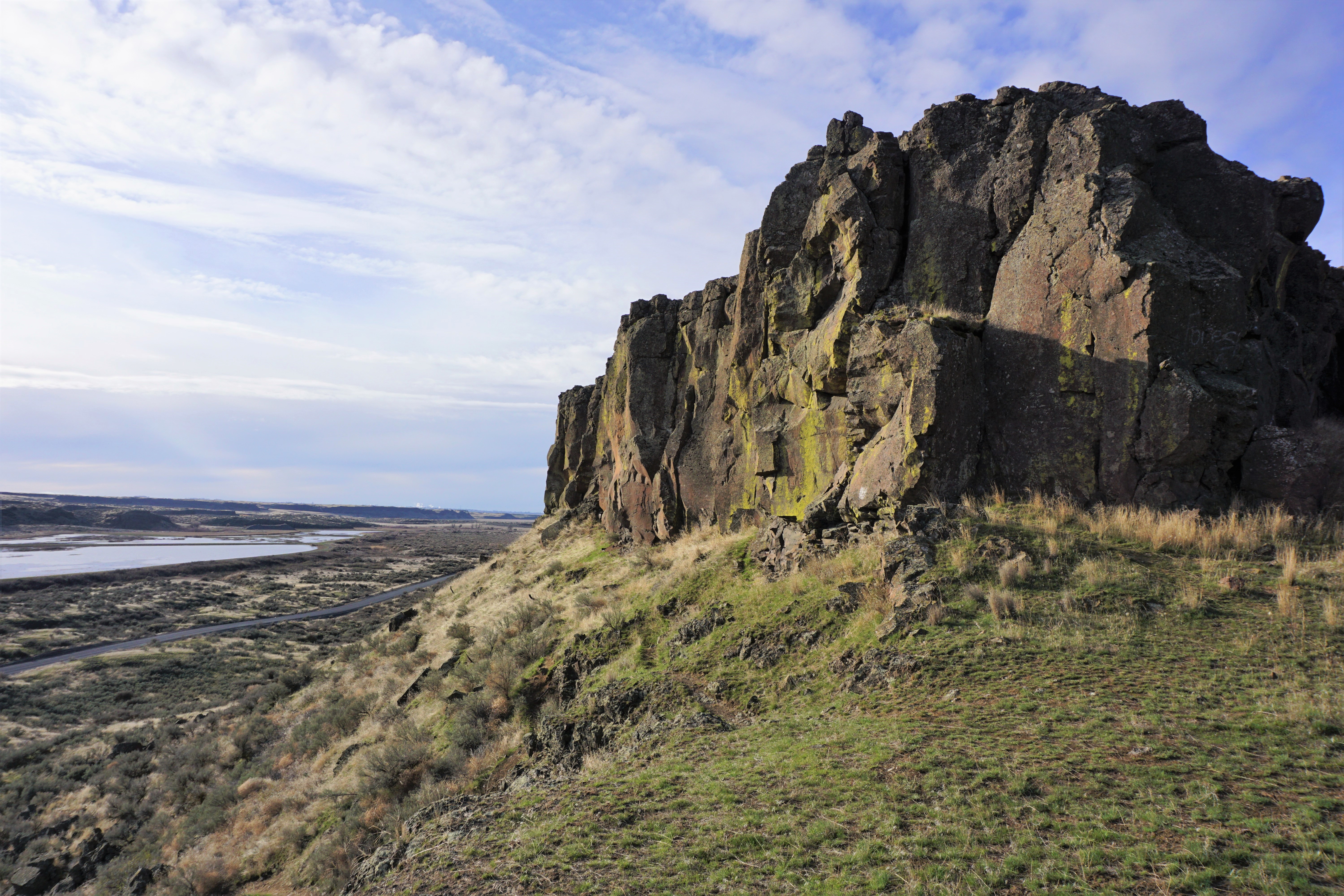
Columbia National Wildlife Refuge covers nearly 30,000 acres of cliffs, canyons, lakes, grasslands, and sagebrush in eastern Washington. FWS says that in its natural state almost all of the refuge would be shrub-steppe desert, except for the once-ephemeral Crab Creek.
Ice Age floods gouged the Drumheller Channeled Scablands National Natural Landmark here. The Columbia Basin Project later brought irrigation water to the desert. Seepage created wetlands, riparian habitat, and small lakes. Crab Creek became perennial. The refuge was created in 1944 "for migratory birds and other wildlife" as mitigation for the project.
Mild winters and nearby irrigated croplands attract migrating and wintering mallards, Canada geese, tundra swans, and other waterfowl. Lesser sandhill cranes now concentrate by the thousands for several weeks in late winter and early spring, a gathering FWS says began in earnest in the late 1980s when leftover grain became an important food. The sources below are the U.S. Fish and Wildlife Service refuge pages.
- Geography & Geology
- Wildlife & Ecology
Sources (2)
government · Tier S
U.S. Fish and Wildlife ServiceColumbia National Wildlife Refuge, About Us
government · Tier S
U.S. Fish and Wildlife ServiceColumbia National Wildlife Refuge
Last reviewed: September 21, 2026
Keep wandering
same arc
Columbia Basin ProjectReclamation's irrigation project now serves about 671,000 acres in east-central Washington, roughly two-thirds of the land Congress authorized in 1943.
nearby
Drumheller ChannelsA cascade of buttes and basins west of Othello is the Ice Age Floods landscape the National Park Service calls the most spectacular of its kind.
same arc
Dry FallsA 3.5-mile cliff in the Grand Coulee is the lip of a waterfall that once dwarfed Niagara.
same arc
Ice Age FloodsNPS says that 18,000 to 15,000 years ago an ice dam in northern Idaho failed, sending Glacial Lake Missoula across Washington and down the Columbia.
same complex
Toppenish National Wildlife RefugeFWS manages 1,978 acres of Yakima Valley wetlands and shrub-steppe, spread along 27 miles of Toppenish Creek, as an inviolate sanctuary for migratory birds.