From Washington to you
Hood Canal Hypoxia
Skokomish Flats, southern Hood Canal · Mason County · MAPCO2 buoy near Twanoh, August 22, 2009
A slow-flushing fjord on the west side of Puget Sound where NOAA says oxygen is characteristically lowest in Lower Hood Canal, and where hypoxia has killed fish.
NOAA’s Pacific Marine Environmental Laboratory describes Hood Canal as a long, narrow estuary on the western side of Puget Sound. It receives river and groundwater, connects to the Sound only at the northern end, and flushes relatively slowly. Chemical properties vary from hours to years.
NOAA says Hood Canal has had problems with low dissolved oxygen and fish kills that have occurred with increased frequency. It is the site of the Hood Canal Dissolved Oxygen Program study. Twanoh sits in Lower Hood Canal, where oxygen is characteristically the lowest. NOAA notes that hypoxia and ocean acidification may have synergies that are especially stressful to organisms. A MAPCO2 system went on an ORCA buoy near Twanoh on August 22, 2009.
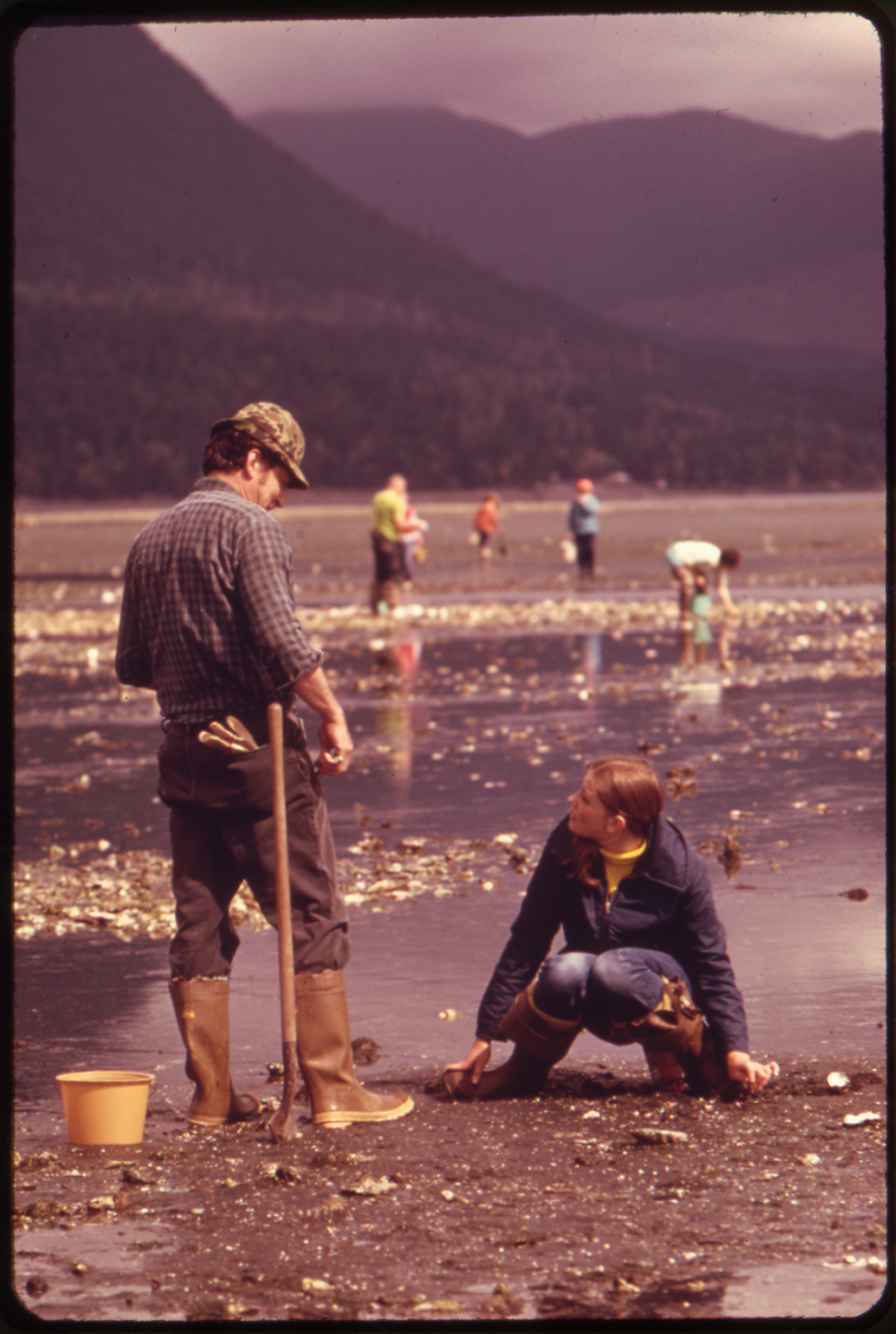
This pin is Skokomish Flats at the southern canal, the Lower Hood Canal reach NOAA flags for the lowest oxygen. The photograph shows public tidelands on Hood Canal at Brinnon. The sources below are NOAA and U.S. Geological Survey pages.
- Geography & Geology
- Wildlife & Ecology
- Science / Strange Washington
Sources (2)
government · Tier S
U.S. Geological SurveySkokomish Flats (GNIS 1528973)
government · Tier S
NOAA Pacific Marine Environmental LaboratoryTwanoh
Last reviewed: September 21, 2026
Keep wandering
nearby
Cascadia Subduction ZoneA quiet plate boundary runs from California to British Columbia — and under Washington.
nearby
Olympic Coast National Marine SanctuaryNOAA designated 3,188 square miles of ocean off the Olympic Peninsula on July 22, 1994, from the beaches out across the continental shelf.
same arc
Southern Resident killer whalesThree family pods still spend summers in Puget Sound. There are only a few dozen left.